 Image via GetYourGuide
Self-Guided Treks in Kyrgyzstan: Routes & How-To
Yes, you can trek Kyrgyzstan without a guide. The best self-guided routes, the ones to skip, and the maps, water and safety logistics that make it work.
Book it on This is Kyrgyzstan
Turn this guide into a trip
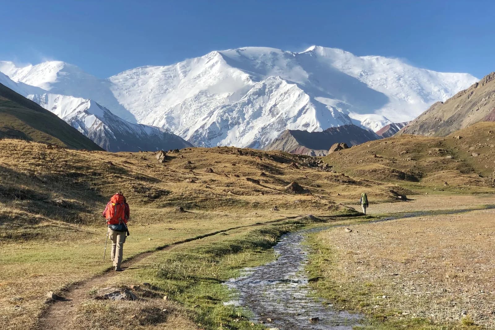
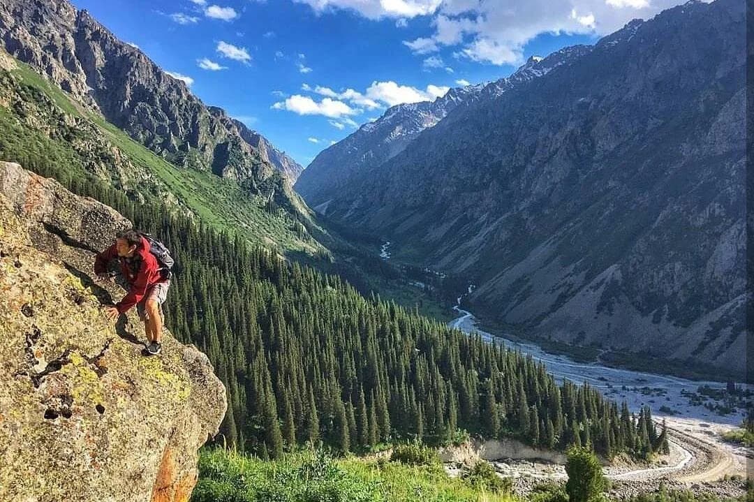
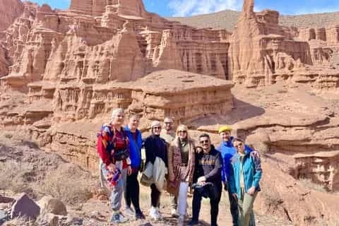
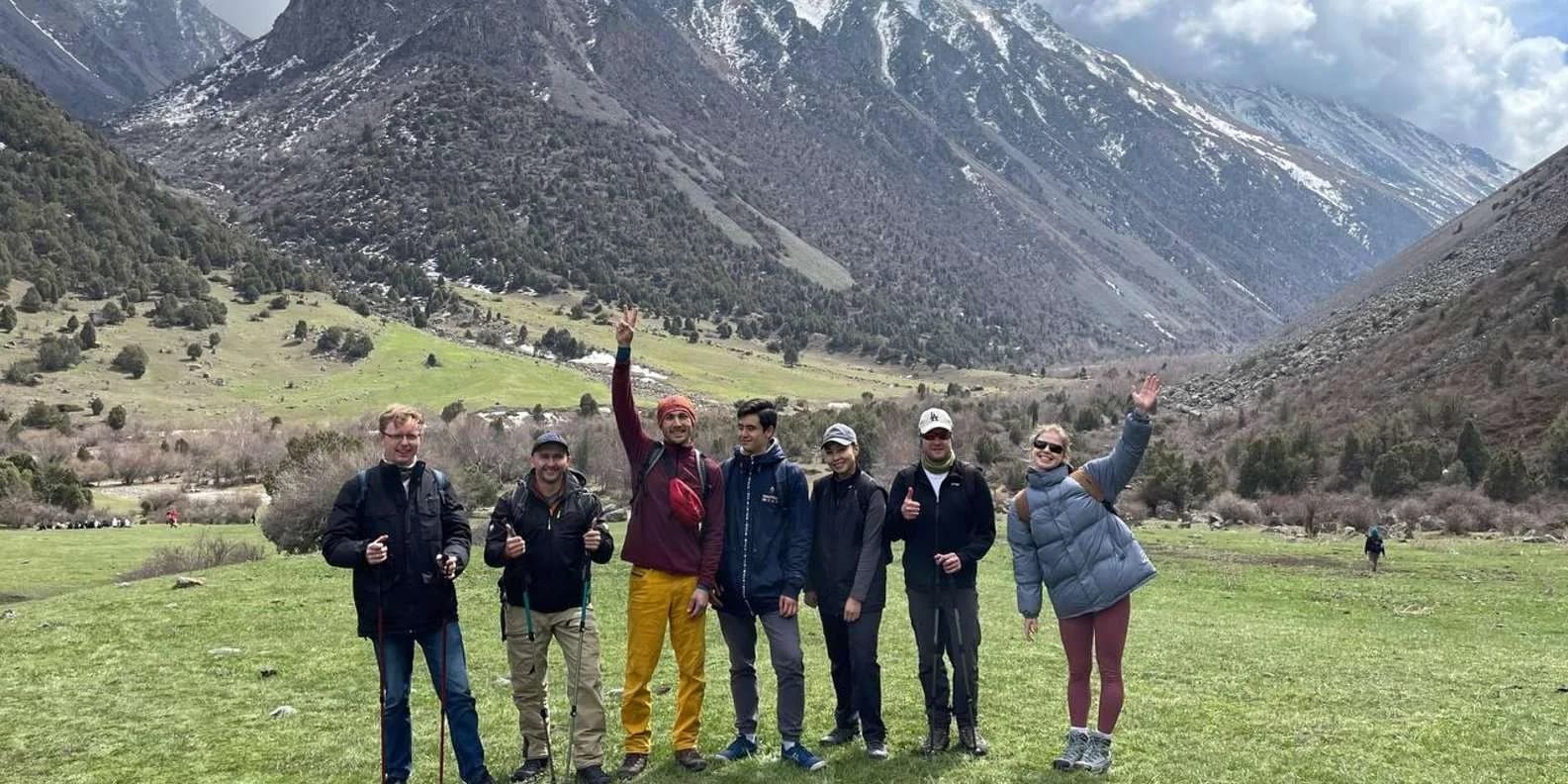
Yes, Kyrgyzstan is one of the most feasible countries in Central Asia to trek without a guide. Several of its best-known routes are well-trodden boot paths that need no permit, no glacier skills and no local fixer, and you can walk them with an offline map, a tent or a yurt-bed booking, and a bit of nerve. But not everything is DIY-friendly. Border-zone routes need a permit, glaciated terrain needs a rope and a mountaineer, and a handful of remote high traverses will bite anyone who treats them casually. This guide sorts the routes you can walk alone from the ones you shouldn't, then covers the navigation, water, camping and safety logistics the independent hiker actually has to sort.
If you're still weighing up whether to hire anyone at all, read guided vs independent travel in Kyrgyzstan first; this page assumes you've decided to go it alone and want the how-to. For the wider picture of routes, seasons and costs, see the trekking in Kyrgyzstan overview.
Which treks you can do without a guide
The honest sorting factors are three: is the path easy to follow, does it need a permit, and does it put you above 3,500 m or onto ice? Get those right and the country opens up. Here's where the headline routes fall.
| Route | Self-guided suitability | Why |
|---|---|---|
| Altyn-Arashan (from Ak-Suu) | Excellent | Follows a jeep track and river the whole way; impossible to lose; hot springs and guesthouses at the top |
| Jyrgalan day hikes & loops | Excellent | The only routes in the country physically marked and GPX'd by the local DMO |
| Ala-Köl / Karakol trek | Good, with caveats | Popular boot path, no permit; but a 3,860–3,900 m pass and a nasty scree descent, and the standard itinerary barely acclimatises you |
| Song-Köl (walk-in from Kyzart) | Good | Clear jailoo route to a 3,016 m lake; yurt-camps en route; but no phone signal and you must arrange transport out |
| Kol-Tor & Kegeti (day) | Good | Day hikes from Bishkek's range; steep and rooty but short and on OSM |
| Ala-Archa to Ratsek Hut | Good | Popular day/overnight; fast altitude gain from a low start is the catch |
| Boz-Uchuk / Keskenkija loops | Moderate | Marked by Jyrgalan DMO, but multi-day and you must carry a tent |
| Kel-Suu | No (permit) | Chinese border zone; needs a border permit applied for a month ahead, plus arranged 4WD |
| Peak Lenin base camp / Heights of Alay | Support advised | Remote, dry, passes above 4,000 m; acclimatisation and resupply are real problems solo |
| Inylchek, Khan Tengri, glaciated routes | No | Roped glacier travel and crevasse rescue; permit required; mountaineering, not trekking |
The routes that reward going alone
Altyn-Arashan is the gentlest introduction to self-guided Kyrgyzstan. From the village of Ak-Suu (Teploklyuchenka), a rough 4WD track climbs about 12–15 km up the valley to a cluster of hot-spring guesthouses at roughly 2,400–2,600 m; it follows the river and the jeep road the entire way and cannot be lost. Walk it in five to six hours, soak in a spring-fed bathhouse, and sleep in a guesthouse without booking. Full detail is in the Altyn-Arashan trek guide.
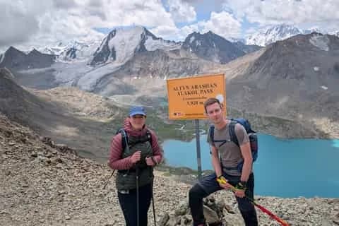
The Ala-Köl trek above Karakol is the country's signature walk and thoroughly self-guidable: no permit, a well-worn path, and yurt-camps at Sirota plus guesthouses at Altyn-Arashan mean you can do the whole thing without even carrying a tent. What it is not is a beginner's stroll. The pass sits at roughly 3,860–3,900 m (sources genuinely disagree), the descent off it is 600–700 m of loose scree where trekking poles matter more than anywhere else, and the classic three-day itinerary takes you from Bishkek's 800 m to nearly 3,900 m inside 48 hours. The full route breakdown, costs and camp options are in the Ala-Köl trek guide.
Jyrgalan, a former coal village 75 km east of Karakol, is the best-organised trekking hub in Kyrgyzstan for independent walkers. Its destination-management organisation has physically waymarked and GPX'd its trails, from the easy 12 km Kok-Bel Waterfall day hike to multi-day loops like Boz-Uchuk (3 days, ~46 km) and the Keskenkija Loop. It's far quieter than Ala-Köl and the marking is a genuine luxury in a country where signage is usually absent. Multi-day loops need a tent, though. See the Jyrgalan trekking guide.
Song-Köl isn't a trek in the pass-crossing sense (you can't hike "at" the lake, only to and from it), but the walk-in from Kyzart via Kilemche to the 3,016 m lake is a fine two-to-three-day self-guided route with yurt-camps to sleep in, and it doubles as one of the country's great yurt stays. The catch is logistics rather than terrain: there's no phone signal, no ATM and no shop at the lake, so you carry all your cash in small notes and, crucially, arrange your ride out before you're dropped or you'll wait for someone with a spare seat.
The routes to leave to a guide or a permit
Three categories should stop the DIY hiker. Border-zone treks — Kel-Suu, Chatyr-Köl, the Ak-Sai valley, Inylchek, Khan Tengri, the upper Chon-Kemin strip and the Karavshin gorge — need a border permit arranged through a Naryn or Karakol agency at least a month ahead. Turning up without one wastes days of driving. Glaciated terrain — the Inylchek glacier, the Khan Tengri and Pobeda approaches, the higher Ala-Archa objectives above Ratsek — is roped mountaineering that no amount of confidence substitutes for. And the remote high traverses of the Pamir-Alai, like the Heights of Alay, cross passes above 4,000 m in dry, empty country where a solo mistake has no easy recovery; go supported.
Maps, GPX and the waymarking reality
Assume no waymarking. It is the single biggest adjustment for hikers used to Alpine or British paths. "Signage is thin off main routes" is the polite version; the truth is that most Kyrgyz trails have no markers at all. The Ala-Köl main line is a clear boot path with the odd cairn and paint fleck, easy to follow in good weather and genuinely confusing in cloud on the pass and the moraine. Jyrgalan's DMO trails are the exception that proves the rule.
So you navigate by phone and GPX:
- Offline maps: MAPS.ME and Organic Maps (both OpenStreetMap-based) are the standard trekker's tools, and Ala-Köl, Altyn-Arashan and the Jyrgalan loops are all drawn on OSM. OsmAnd is a strong alternative with better contour handling. 2GIS is the best offline app for towns and shared transport. AllTrails works where routes are logged but coverage is thinner here than the big-name treks suggest — cross-check it against OSM, don't rely on it alone.
- Download GPX tracks before you go. Jyrgalan's DMO, KG Nomad and the Caravanistan forum publish tracks for the main routes; load them into your app while you still have wifi.
- Paper backup: the Austrian Alpine Club (Alpenverein) publishes the best 1:100,000 sheets for the Ala-Archa, Terskey/Karakol and Khan Tengri areas. Soviet-era General Staff 1:100,000 topo sheets are the most complete coverage and circulate free online.
- Mobile coverage is patchy to absent. You'll have signal in Karakol, Ak-Suu and Jyrgalan village and nothing in the upper valleys or at the lake. Do not plan to "look it up on the way."
Carry a power bank; cold drains phone batteries fast at altitude, and your map is your phone.
Water, wild camping and resupply
Wild camping is legal in Kyrgyzstan, which is a large part of what makes independent trekking here so free. You can pitch on the rocky shelves at Ala-Köl (~3,530–3,560 m, ferociously exposed and sub-zero at night even in July) or anywhere sensible along a valley. Away from the tourist jailoos, being waved into a working shepherd's yurt happens often and no money changes hands — don't confuse that with the tourism yurt-camps, where you pay.
Filter or treat all water. Streams are plentiful and cold, but every valley is grazed by sheep, horses and cattle all summer, and giardia is a real risk — crystal-clear water below a jailoo is not safe. A filter or purification tablets are essential, not optional. On the Ala-Köl pass day, the last reliable refill before the top is the big waterfall.
There is no resupply on any of these treks. No shops at Sirota, at the lake or in Altyn-Arashan beyond guesthouse meals; Jyrgalan village has a couple of tiny shops and that's it. Buy every scrap of trail food in Karakol, Bishkek, Naryn or Osh, which have proper bazaars and supermarkets. Gas canisters (screw-thread EN417) are sold in Bishkek and Karakol outdoor shops but stock is unreliable — buy on arrival, not en route. And bring all your trek cash from town: ATMs stop at Karakol, and there's no card payment at park gates, yurts or guesthouses.
You can use the community network as you go without booking a full tour: the community-based tourism homestays and yurt-camps are bookable on the spot in summer, and rates are often well below marketplace prices.
Safety, registration and rescue — read this twice
The real risks trekking Kyrgyzstan are environmental, not human: mountain weather, altitude, river crossings and road traffic getting to the trailhead, in that order. Crime is not the issue in the hills.
But do not overestimate rescue. There is no free, state-run, guaranteed mountain rescue on the Alpine or Nepali model — the FCDO describes "a basic mountain rescue service staffed by volunteers" with limited equipment (24-hour line +996 312 651 404). The practical commercial provider requires a payment guarantee — insurance, a pre-signed contract or a bank guarantee — before an operation even starts. The consequences for the DIY hiker are concrete:
- Buy insurance that explicitly covers trekking to your maximum altitude (3,900 m for Ala-Köl, higher for the Alay) and helicopter evacuation and repatriation. Standard policies routinely cap altitude cover at 2,500–3,000 m, which excludes almost every headline Kyrgyz trek. Carry the policy number where a companion can find it.
- Carry a satellite messenger (Garmin inReach, Zoleo) or a PLB. With no phone signal in the high valleys, it's the only realistic way to raise an alarm from Ala-Köl, Jyrgalan or Song-Köl.
- Tell someone your route and return date, cross passes before early afternoon (storms build from late morning across the Tien Shan), and don't trek entirely alone if you can avoid it.
- Registration: if you overstay the 30-day visa-free window, registration is required — hotels normally handle it. It doesn't affect a two-week trekking trip, but a long overland season might; confirm the current thresholds.
Glacier-fed rivers are the most under-rated hazard: a stream that's ankle-deep at 8am can be thigh-deep by 4pm on a hot day. Cross early, unclip your pack's hip belt, face upstream, and be willing to turn back.
Gear and self-sufficiency
Self-guided means self-sufficient. The non-negotiables: broken-in waterproof boots (worn tread is the commonest cause of falls on the Ala-Köl scree); a layered system with a genuine waterproof and windproof shell; a three-season sleeping bag rated to at least -5°C if you're camping high; trekking poles; a headtorch; a water filter; and category 3–4 sunglasses plus high-factor sunscreen, because UV at 3,500 m with snow reflection is fierce and snow blindness is real. If you're camping at the lake rather than using yurts and guesthouses, you want a tent that can handle wind. Our full Kyrgyzstan packing list covers the rest.
Wind, not absolute cold, is usually the problem. It can be 25–30°C in the Karakol valley by day and drop to around freezing at a 3,500 m camp the same night.
Altitude — the thing people underestimate
Kyrgyzstan puts you high, fast. The standard Ala-Köl trek crosses a near-3,900 m pass on day two, walked by people who slept at 1,700–2,500 m the night before, often straight off a Bishkek bus. This is exactly the profile that produces acute mountain sickness, and altitude is the commonest reason people bail. The fix is cheap: spend two nights in Karakol before starting, or slot in a Song-Köl or Altyn-Arashan night first, and don't schedule the pass for the day after you arrive from the capital. Above 3,000 m, raise your sleeping altitude by no more than 500 m a day where the route allows it. A headache and a bad night's sleep are normal-ish; confusion, loss of coordination or breathlessness at rest mean descend now. The altitude sickness in Kyrgyzstan guide has the full clinical picture.
When to hire a driver, horseman or pack support instead of a full guide
Going self-guided isn't all-or-nothing. The smartest independent trips buy exactly the support they need and nothing more:
- A driver for the segments with no public transport — the Sirota bridge shortcut on Ala-Köl (800–1,000 som by 4WD), the jeep track up to Altyn-Arashan, the ride in and out of Song-Köl. This is the most common à-la-carte hire and it doesn't compromise the walking.
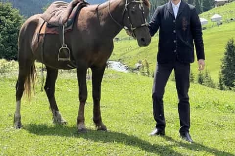
- A pack horse and handler (roughly 1,300 som/day for the horse, ~2,000 som/day for the handler) if you want to walk a multi-day loop but not carry the weight. It also gives you a local who knows the river crossings.
- A horseman for the Song-Köl approaches, where the point is often to travel by horse anyway; see horse trekking in Kyrgyzstan.
- A guide only when the route demands it — border-zone permits, glaciated ground, or the remote Alay traverses. Book through the local DMO (Destination Karakol, Destination Jyrgalan) rather than a Bishkek agency so the money stays local.
Ready to build a trip around one of these routes? Browse the trekking tours for the guided and supported options, or use them to sanity-check your own self-guided plan.
Chat with a real person — free
Seif and the team reply on WhatsApp 24/7 — trip questions, custom plans and booking help.
Ask Seif on WhatsAppCommon questions
Can you trek in Kyrgyzstan without a guide?
Yes. Kyrgyzstan is one of the most DIY-friendly trekking countries in Central Asia. Popular routes like Ala-Köl, Altyn-Arashan and the Jyrgalan trails have no permit requirement and clear paths you can follow with an offline map. The exceptions are border-zone routes (Kel-Suu, Inylchek, Khan Tengri), glaciated terrain and remote high traverses, which need permits, rope skills or support. Most independent trekkers here have no trouble.
Which is the best self-guided trek for a first-timer?
Altyn-Arashan from the village of Ak-Suu. It follows a jeep track and river up to hot-spring guesthouses at around 2,400–2,600 m, is impossible to lose, takes five to six hours, and you can sleep in a guesthouse without booking. Jyrgalan's marked day hikes are the other easy start. Save the Ala-Köl trek, with its near-3,900 m pass and scree descent, until you've acclimatised and know you handle altitude.
Do you need a permit to trek in Kyrgyzstan?
Not for the popular routes. Ala-Köl and Altyn-Arashan need no trekking or border permit, only the Karakol National Park entry fee (around 250 som per person plus about 100 som per tent, paid in cash at the gate). Border permits ARE required for Kel-Suu, Chatyr-Köl, the Ak-Sai valley, Inylchek, Khan Tengri, the upper Chon-Kemin strip and Karavshin — apply through a Naryn or Karakol agency at least a month ahead.
What maps and apps work offline for hiking in Kyrgyzstan?
MAPS.ME and Organic Maps, both OpenStreetMap-based, are the standard tools and cover Ala-Köl, Altyn-Arashan and the Jyrgalan loops. OsmAnd is a strong alternative and 2GIS is best for towns and transport. Download GPX tracks from the Jyrgalan DMO, KG Nomad or the Caravanistan forum before you go. AllTrails coverage is thinner than for marquee treks elsewhere — cross-check it against OSM rather than relying on it alone. Carry a power bank.
Are Kyrgyzstan's trekking trails waymarked?
Mostly no. Assume no waymarking — it's the biggest adjustment for hikers used to Alpine or British paths. The Ala-Köl main line is a clear boot path with occasional cairns, easy in good weather and confusing in cloud on the pass. Jyrgalan's DMO trails are the one well-marked network in the country, physically marked and GPX'd. Everywhere else, navigate by offline map and downloaded GPX, and don't trust your ability to spot a path in fog.
Is it safe to camp wild in Kyrgyzstan?
Yes — wild camping is legal and widely done, which is much of what makes independent trekking here so free. You can pitch on the shelves at Ala-Köl or along any valley. The risks are environmental, not human: exposure and sub-zero nights even in July at 3,500 m, and grazed water everywhere, so filter or treat everything. Being waved into a working shepherd's yurt happens and is free; the tourism yurt-camps you pay for.
How do you get rescued if something goes wrong?
Carefully — there is no free, guaranteed mountain rescue. The volunteer service has limited equipment (24-hour line +996 312 651 404), and the commercial provider needs a payment guarantee before it starts. So buy insurance that explicitly covers trekking to your maximum altitude plus helicopter evacuation, carry the policy number, and take a satellite messenger (inReach or Zoleo) since there's no phone signal in the high valleys. Tell someone your route and return date.
When can you trek independently in Kyrgyzstan?
The window is roughly mid-June to mid-September, with July and August the only two months you can rely on for passes above 3,000 m. The Ala-Köl pass is reliably snow-free from about mid-July to mid-September and can be snowed on in any month. May and October are shoulder months where half the itinerary is shut and yurt-camps aren't up. Cross high passes before early afternoon, before storms build.
Can you do the Ala-Köl trek independently?
Yes, and most people do — there's no permit, the path is well-trodden, and Sirota yurts plus Altyn-Arashan guesthouses mean you needn't even carry a tent. But it's genuinely hard: a 3,860–3,900 m pass, a loose scree descent where poles are essential, and almost no built-in acclimatisation. Spend two nights in Karakol first or add a Song-Köl or Altyn-Arashan night, carry a filter and small-note cash, and cross the pass before 11am.
Book it on This is Kyrgyzstan
Turn this guide into a trip
Kyrgyzstan's bestsellers
The experiences travelers book most, across the country
Keep reading
Tian Shan Traverse: Bikepacking Kyrgyzstan
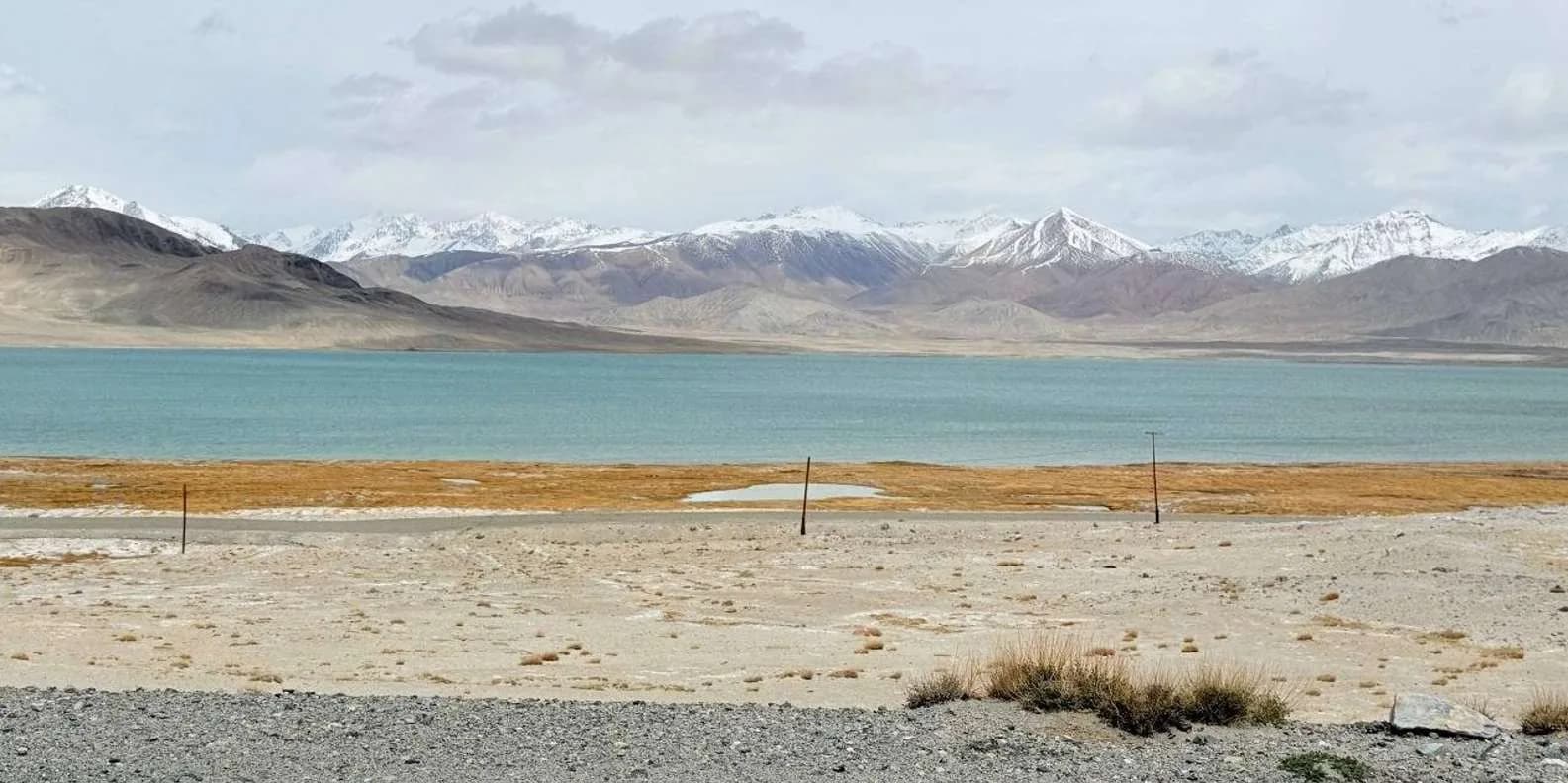
The Tian Shan Traverse is a self-supported, mostly off-road bikepacking route of about 1,000 km across the high Kyrgyz mountains. Here's how to plan it.
By TiK Editors9 min read
Uchitel Peak: Your First 4,000m Climb (2026)
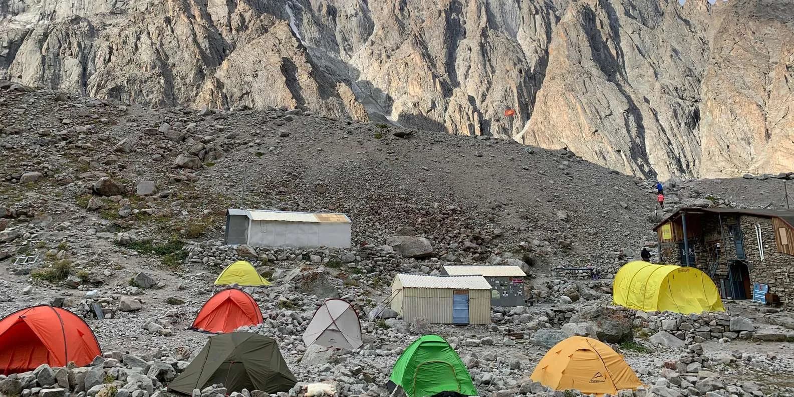
Pik Uchitel (~4,400-4,600 m) in Ala-Archa is the classic first summit for fit hikers new to mountaineering: route, gear, season and acclimatisation.
By TiK Editors8 min read
Boz-Uchuk Lakes Trek from Jyrgalan (2026)
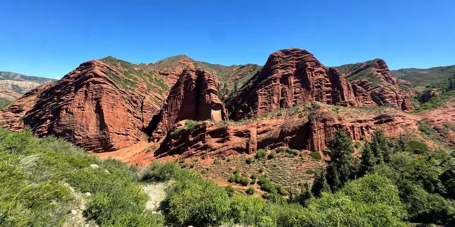
A moderate 2–3 day trek to a string of alpine lakes above Jyrgalan — quieter than Karakol's classics, with community yurts, horses and clear DMO rates.
By TiK Editors8 min read