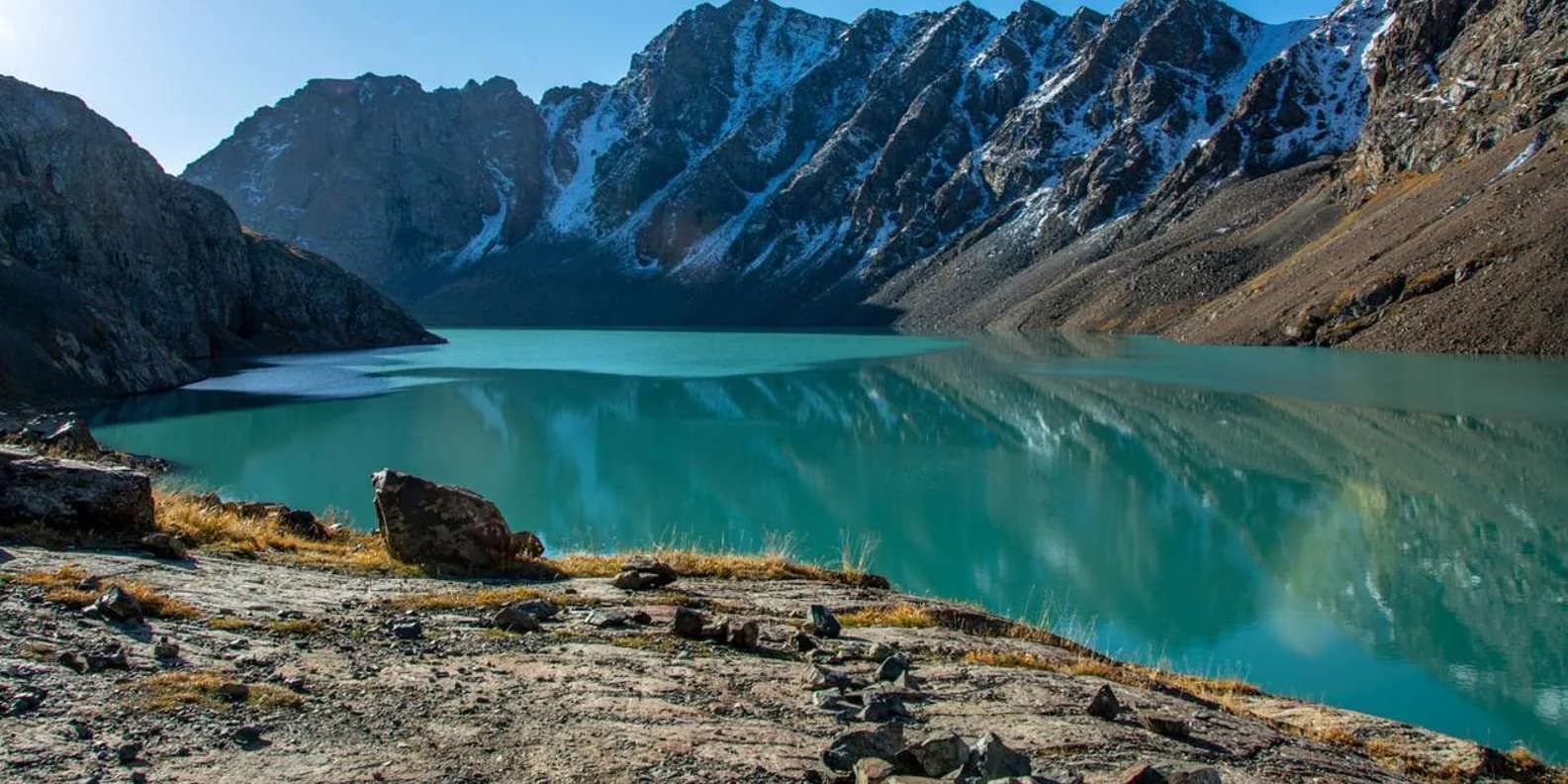
 Image via GetYourGuide
Ala-Kul Trek Kyrgyzstan: The Complete 3-Day Guide
How hard the Ala-Kul trek really is, how many days it takes, whether you need a guide, and when the 3,860–3,900 m pass is actually clear of snow.
Book it on This is Kyrgyzstan
Karakol · Turn this guide into a trip
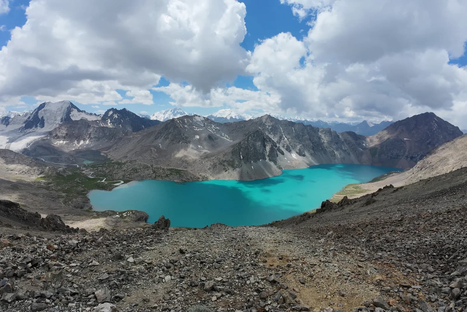
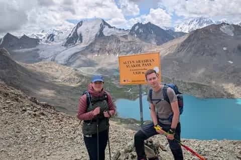
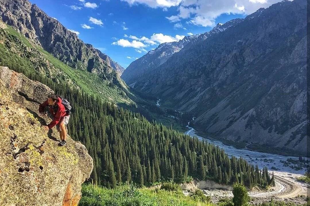
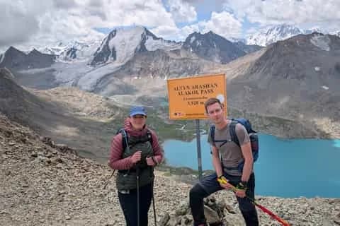
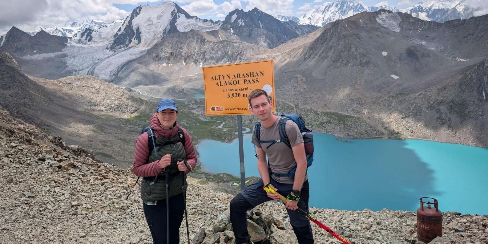
Ala-Kul is a hard trek, not a hard hike. The standard version takes three days over roughly 45–52 km, from the Karakol valley across a pass of about 3,860–3,900 m, past a glacial lake at about 3,530–3,560 m, and down to the hot springs at Altyn-Arashan. Fit hikers with multi-day experience and offline maps do it without a guide every summer, and the pass is realistically snow-free from mid-July to mid-September. The crux is not the climb — it is the loose scree on the far side.
The altitudes: sources genuinely disagree
Do not trust any page that gives you one confident number.
- Ala-Köl lake (Ala-Kul, Ala-Kol): most tourism sources say 3,532 m, Caravanistan and others 3,560 m. Use "about 3,530–3,560 m".
- The Ala-Kul pass: one cluster of sources gives 3,860 m, another 3,890–3,900 m. Use "roughly 3,860–3,900 m".
- Total ascent: quoted as ~1,500 m and as ~2,400 m cumulative; GPS-measured daily figures add to about 2,200 m.
The highest point is the pass, not the lake — the lake sits in a cirque below it, on the Karakol side.
The standard three-day route, day by day
Distances are GPS-measured figures published by trekkers, and vary by a few kilometres with your drop-off.
Day 1 — Park gate to Sirota: 14 km, +905 m, 4–6 hours
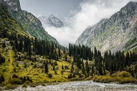
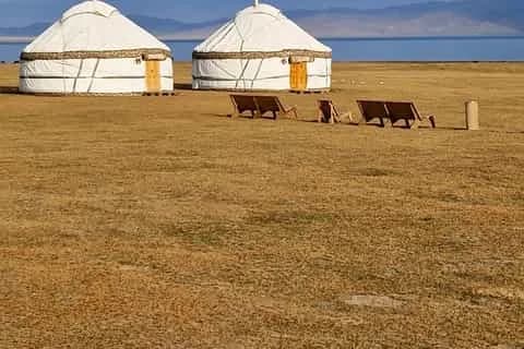
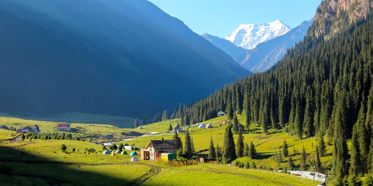
A forgiving valley walk on a jeep track that narrows to a path, through Tien Shan spruce beside the Karakol river. Water is everywhere, and everywhere grazed — filter it. You sleep at Sirota, a cluster of yurts, fixed tents and a hut where the trail leaves the valley floor. What hurts: nothing much, which is the point. This night is your acclimatisation.
Day 2 — Sirota over the pass to Altyn-Arashan: 18 km, +1,125 m, −1,300 m, 9–12 hours
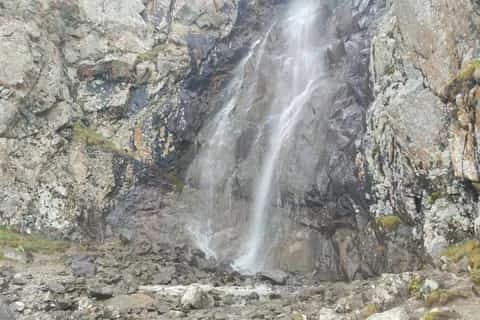
The day that defines the trek. A steep two-hour climb beside the waterfall — the last reliable water before the pass, so fill up — gets you onto the moraine shelf, and the lake appears suddenly and completely. Another 1–1.5 hours of boulder-hopping and switchbacks puts you on the pass. Then 600–700 m of loose scree into the Keldike valley before the ground firms, and a long walk down to Altyn-Arashan. What hurts: your knees, and your head if you have never slept high. Start at 06:00 and be over the pass by 11:00.
Day 3 — Altyn-Arashan to Ak-Suu: 19 km, +182 m, 5–6 hours
Almost all downhill on the rough jeep track beside the Arashan river, past orchards and beehives near the bottom. Easy, long, underestimated. Soak in the springs first — that is the reward, and there is more on the valley in our Altyn-Arashan trek guide.
Variants, and which way round to walk it
| Variant | Days | Distance | Cumulative ascent | Difficulty | Who it suits |
|---|---|---|---|---|---|
| Lake day-return, no pass | 1 long day | ~20–24 km from the Sirota bridge | ~700–1,000 m | Moderate | Short on time; want the lake, not the crossing |
| Compressed crossing | 2 | ~28–35 km with 4WD both ends | ~1,500–1,900 m | Very hard | Already acclimatised and genuinely fit |
| Classic crossing | 3 | ~45–52 km | ~2,200 m | Hard | Fit hikers with multi-day mountain experience |
| Night camped at the lake | 4 | ~60 km | ~2,200–2,400 m | Hard, better paced | Photographers, campers, anyone worried about altitude |
| Reverse, Ak-Suu first | 3–4 | Same | Same | Hard, crux ascending | Those who want a gentler altitude profile |
Walk it Karakol → Ak-Suu. You climb the pass from the lake side, steep but stable, descend the scree rather than grinding up it, and finish at hot springs instead of a car park. The reverse buys a kinder altitude curve at the cost of a scree ascent. Take four days if you have any doubt about altitude; two days is what puts people on the pass at two in the afternoon in a hailstorm.
The crux: the scree
The east side drops into the Keldike valley on loose gravel and broken rock. Trekkers describe a rockslide, gravel tumbling out from under them, skidding rather than walking. Two lines exist — a steeper direct scramble and a gravel path most take as the lesser evil. Take the gravel path.
Three things make it dangerous rather than merely miserable. Worn boot soles, the commonest cause of falls here. Descending directly above another party, because you will send rocks onto them. And cloud, which turns the boulder field above the lake and the line off the pass genuinely confusing — wet scree is far worse than dry, and snow lingers in the shaded gullies. Poles matter more on this slope than anywhere else in Kyrgyzstan.
Season: when the pass is actually clear
The broad season runs mid-June to late September, but the pass is reliably snow-free only from roughly mid-July to mid-September. In a heavy year snow hangs on into late July, and fresh snow can fall on it in any month.
June is a mountaineering proposition — ice axe, microspikes, and the judgement to read a snow slope. Early October brings the best light and a real chance of the first big storm, with the camps packing down around you. People attempt this too early every year and are lucky when it ends in turning back. The daily rhythm is dependable: clear dawn, cloud from late morning, thunder and graupel by early afternoon — plan every day around it.
Guide or no guide: an honest verdict
You need no permit and no guide. The main line is a well-trodden boot path with occasional cairns, drawn on OpenStreetMap and easy to follow in clear weather. Go alone if you have done multi-day mountain walking, can navigate in cloud on a downloaded map, and have crossed loose ground before.
Hire someone if this would be the highest you have ever been, if your longest previous walk is a day hike, or if you are alone. Expect $150–250 to join a guided group and $200–350 for a private one. Regional component rates run 2,000–2,500 som a day ($23–29) for a trekking guide, 1,300 som a day (~$15) for a pack horse and 2,000 som (~$23) for its handler; agencies and certified mountain guides charge considerably more. A pack horse is worth it if your pack is heavy. Book through Destination Karakol, the working local DMO in Karakol; our trekking in Kyrgyzstan guide sets this route against the alternatives.
Fees, money and where you sleep
No trekking permit, no border permit. Expect a Karakol National Park fee of about 250 som (~$3) per person at the gate plus around 100 som per tent; one tourism source still quotes 100–200 som, the Arashan side collects its own fee, and it creeps up most years — confirm at the hut. Carry small som notes: no ATMs and no card payments past Karakol.
- Sirota: yurt beds and fixed tents, roughly 1,000–2,500 som per person depending on whose yurts you land in and whether meals are included; your own tent is usually free. Beds fill in August.
- The lake: wild camping only, on exposed shelves. Below freezing on any summer night, and the wind is the problem, not the cold.
- Altyn-Arashan: family guesthouses and yurt camps, open roughly May to October, from a 300-som dorm bed to about 2,100 som half board. Operators and names change often, so book through the tourist office in town rather than a name you read online. Each has a bath house fed from the springs; non-guests pay around 200 som.
Getting to the trailhead and back
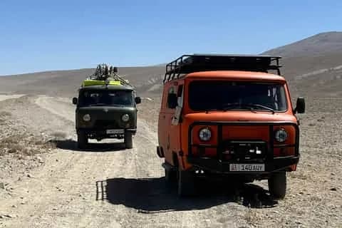
From Karakol, marshrutka 101 runs to the Karakol valley gate (about 10 som); marshrutka 350 serves Ak-Suu village (Teploklyuchenka) at the far end — from 50 som, plus about 30 som for a trekking pack. A 4WD to the Sirota bridge, cutting the flat approach, is 800–1,000 som; a taxi back from Ak-Suu about 1,000 som per car. The jeep track up to Altyn-Arashan takes an ex-Soviet UAZ 1.5–2 hours for 14 km, and no ordinary car will manage it. See getting around Kyrgyzstan and the Karakol guide.
Altitude, rescue and insurance
This is where the trek hurts people. You go from Karakol at about 1,775 m to nearly 3,900 m inside 48 hours — exactly the profile that produces acute mountain sickness, and fitness gives no protection.
Headache plus nausea, dizziness, fatigue or a broken night's sleep is AMS: stop ascending. Confusion, an inability to walk a straight line, or breathlessness at rest means descend immediately, at night if necessary. Descent is the treatment; everything else buys time. The Sirota night is not padding, which is why compressing the route into two days is a medical decision as much as a fitness one. Never start the day you arrive from Bishkek.
There is no phone signal in the upper valleys or at the lake — treat your phone as a camera. Mountain rescue is basic, volunteer-staffed and thinly equipped; the 24-hour number is +996 312 651 404, and the main non-profit service requires a payment guarantee before an operation begins. Serious incidents usually end in self-rescue or horse evacuation. Buy insurance that explicitly covers trekking to at least 4,000 m — the pass is 3,860–3,900 m — plus helicopter evacuation and repatriation: standard policies cap altitude cover at 2,500–3,000 m and exclude this trek outright. A satellite messenger earns its weight — see also is Kyrgyzstan safe.
Gear, water and navigation
Broken-in waterproof boots with real tread, poles, a windproof and waterproof shell, a bag rated to at least −5 °C if you camp, sun hat and high-factor cream (UV at 3,500 m is fierce), headtorch, water filter. The valleys are grazed all summer, so treat every stream.
There is no resupply — no shops at Sirota, at the lake, or in Altyn-Arashan beyond guesthouse meals. Buy food and gas canisters in Karakol, and download Organic Maps or Maps.me plus a GPX track before you leave town. The Alpenverein 1:100,000 sheets are the best paper maps of the Terskey Ala-Too.
Common mistakes
Starting the pass after 11:00. Skipping the Sirota night. Carrying only cards. Underpacking for a lake camp that goes below zero in July. Assuming August beds are available walk-in. Taking the steep direct line off the pass. Trail runners with worn tread. Treating day three's 19 km as a rest day.
Is it worth it?
Yes, and it is crowded for a reason. Experienced trekkers still call it one of the hardest walks they have done, and in August you will not have it to yourself. The lake changes colour hour by hour, milky blue under cloud and hard turquoise in the sun, and the marmots whistle at you the whole way up. Read more on Ala-Köl lake, or browse guided trekking trips if you would rather someone else carried the tent.
Chat with a real person — free
Seif and the team reply on WhatsApp 24/7 — trip questions, custom plans and booking help.
Ask Seif on WhatsAppCommon questions
How difficult is the Ala-Kul trek?
Hard. Sources rate it moderate-to-challenging, but experienced trekkers routinely call it one of the toughest walks they have done. The pass day alone is about 18 km with 1,125 m of ascent, most of it above 3,000 m, followed by a 600–700 m loose scree descent. There is no technical climbing, but it is not a beginner's route.
How many days does the Ala-Kul trek take?
Three days is the standard: Karakol valley to Sirota, over the pass to Altyn-Arashan, then out to Ak-Suu. Four days adds a night camped at the lake and is the better choice for acclimatisation. Two days is only for fit, already-acclimatised hikers using 4WD transfers at both ends.
Can you do the Ala-Kul trek without a guide?
Yes, if you have multi-day mountain experience. No permit or guide is legally required, and the main line is a well-trodden boot path drawn on OpenStreetMap. Take a downloaded offline map and a GPX track, because the boulder field above the lake and the descent off the pass get confusing in cloud. Hire a guide if this would be your highest-ever altitude or you are walking alone.
When is the Ala-Kul pass snow-free?
Roughly mid-July to mid-September in a normal year. Snow can linger into late July after a heavy winter, and fresh snow falls on the pass in any month. June crossings need an ice axe, microspikes and real snow judgement. Early October is beautiful but the first serious storm can arrive at any time.
How high is Ala-Köl lake and the Ala-Kul pass?
Sources genuinely differ. The lake is given as 3,532 m by most tourism sources and 3,560 m by Caravanistan; the pass as 3,860 m in one cluster of sources and 3,890–3,900 m in another. Use about 3,530–3,560 m for the lake and roughly 3,860–3,900 m for the pass. The pass, not the lake, is the trek's high point.
Is there a fee for the Ala-Kul trek?
There is no trekking permit, but Karakol National Park charges an entry fee at the gate, most recently reported at about 250 som (~$3) per person plus around 100 som per tent. One tourism source still quotes 100–200 som, and the Arashan side collects separately, so you can pay twice on a through-trek. Bring small som notes; the gate takes no cards.
Which direction should you walk the Ala-Kul trek?
Karakol to Ak-Suu. You climb the pass from the lake side, which is steep but stable, descend the loose scree rather than grinding up it, and finish in the hot springs at Altyn-Arashan. Walking it in reverse gives a gentler altitude profile but turns the scree into a slow, punishing ascent.
Do you need a tent for the Ala-Kul trek?
Not for the standard three-day route. You can sleep in a yurt or fixed tent at Sirota and in a guesthouse at Altyn-Arashan, which is what many people now do. Carrying a tent buys you the night camped at the lake and independence from bookings, which matters in August when beds fill.
Book it on This is Kyrgyzstan
Turn this guide into a trip

Kyrgyzstan's bestsellers
The experiences travelers book most, across the country
Keep reading
Jyrgalan Valley Trekking Guide (2026)
A former Soviet coal village 60 km east of Karakol, now Kyrgyzstan's quietest, best-marked community trekking and ski-touring hub. Routes, seasons, how to book.
By TiK Editors8 min read
Altyn-Arashan: Hot Springs Trek Above Karakol (2026)
Walk in or take the 4WD? A guide to the Altyn-Arashan valley above Karakol — the hot springs, guesthouses, costs, winter access and how long to stay.
By TiK Editors9 min read
Trekking in Kyrgyzstan: Routes, Seasons & Costs
The complete trekking overview for Kyrgyzstan: the classic routes compared, when to go, altitude and AMS safety, permits, gear and real costs in som and USD.
By TiK Editors12 min read