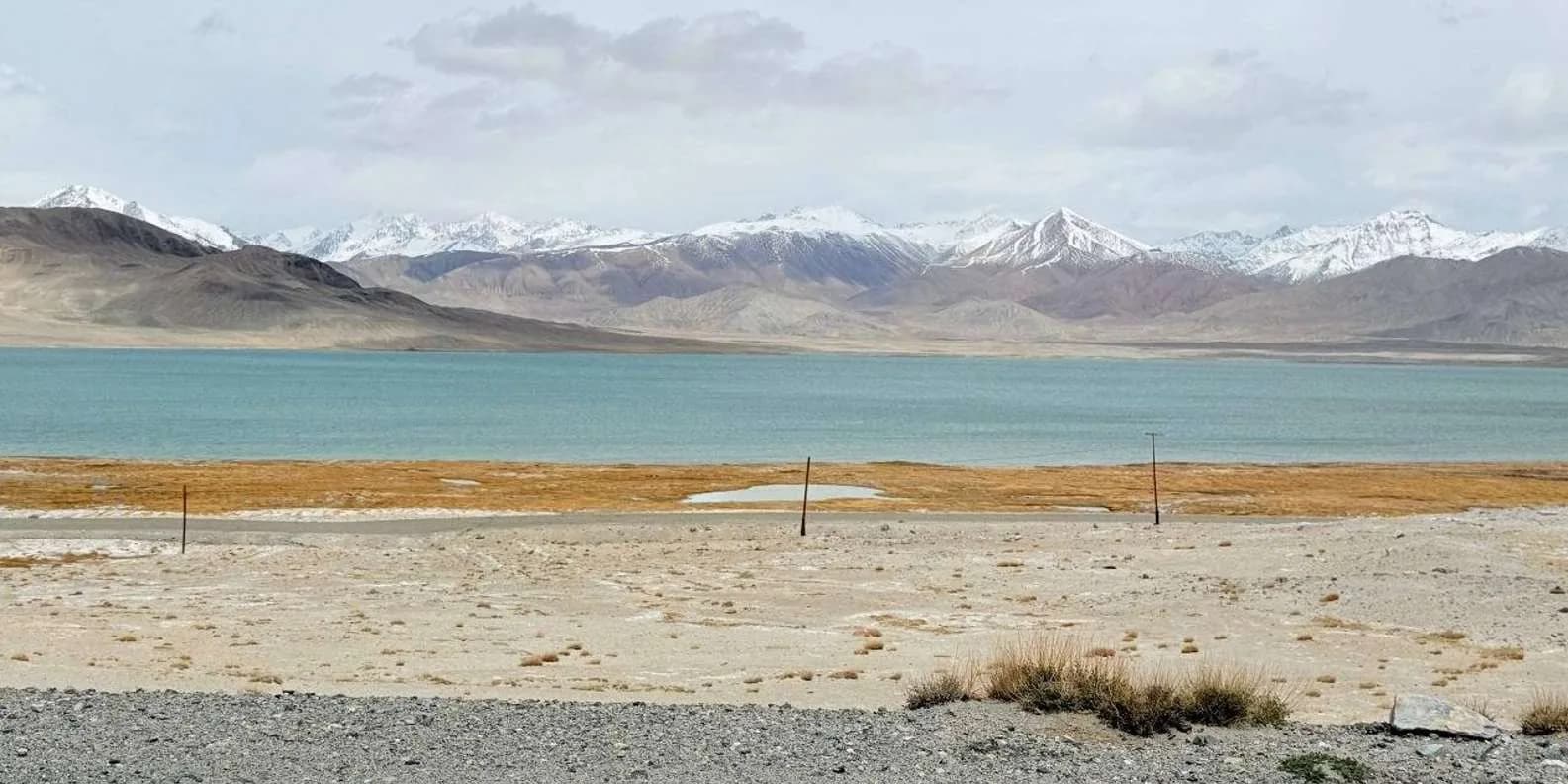
 Image via GetYourGuide
Tian Shan Traverse: Bikepacking Kyrgyzstan
The Tian Shan Traverse is a self-supported, mostly off-road bikepacking route of about 1,000 km across the high Kyrgyz mountains. Here's how to plan it.
Book it on This is Kyrgyzstan
Turn this guide into a trip
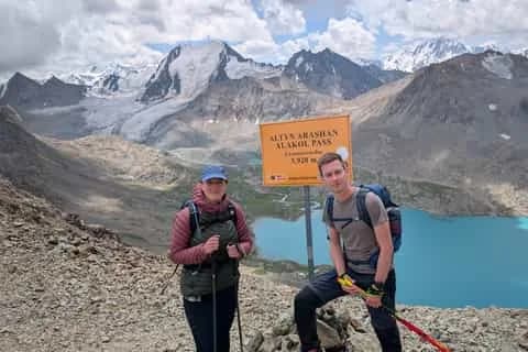
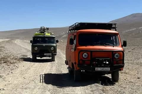
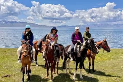
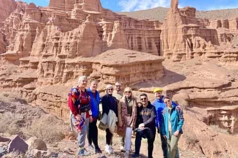
The Tian Shan Traverse is a self-supported bikepacking route of roughly 1,000 km that crosses the Kyrgyz mountains, running broadly west to east and staying high the whole way. It links river valleys, shepherd tracks and passes over 3,000 m, on a surface that is mostly jeep road and singletrack with stretches of no trail at all. The bikepacking community treats it as a flagship ride, and it is genuinely one of the great off-road routes in Central Asia. It is also hard: you should be comfortable with altitude, cold nights, glacier-fed river crossings and going several days between shops before you commit to it.
This is the specialist page. If you want a broader picture of riding here first, start with our cycling in Kyrgyzstan guide and come back for the traverse itself.
What the Tian Shan Traverse actually is
Think of it as a corridor rather than a fixed, waymarked line. There is no single official GPX, no signage, and no support along the way. Different riders and route-builders stitch together their own version through the same high country, using the network of Soviet-era pasture roads, mining tracks and trekking paths that thread the ranges. What they share is the character: long days at altitude on the jailoo (summer pasture) tracks, connected by passes, with the tarmac used only to bridge gaps or bail out.
Kyrgyzstan is about 90% mountainous, and only the roads between main towns are sealed. Everything else — which is where the traverse spends its time — is gravel, dirt, or a mountain track with mud, snowmelt and stream fords. That is the appeal and the difficulty in one sentence.
At a glance
| Distance | About 1,000 km (varies by the line you build) |
| Time | Typically 2 to 3+ weeks self-supported |
| High passes | Several above 3,000 m; some around and above 3,500 m |
| Surface | Jeep track, singletrack, and sections of no trail |
| Best window | Roughly July to September |
| Difficulty | Hard / expedition — not a first tour |
| Support | None; carry food, water treatment, tools, shelter |
Treat every figure here as an order of magnitude. Distances and pass heights shift depending on which valleys you choose, and Kyrgyz sources genuinely disagree on some elevations, so plan around ranges and confirm on the ground.
The character of the riding
Most days follow a compacted gravel or dirt jeep road up a valley to a pass, then down the other side into the next drainage. The surfaces reward high-clearance thinking rather than raw speed: loose rock, washboard, sandy river flats, and the odd rutted climb where you push. On the higher approaches the track can fade to a braid of cattle paths, and above the treeline you navigate as much by landform as by trail.
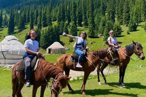
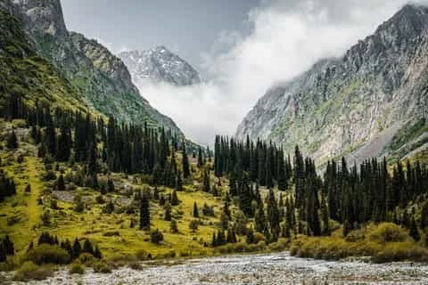
The country between the passes is the reason to be here. You ride through Tien Shan spruce forest low down, then juniper, then open alpine meadow grazed by horses and sheep, with yurts pitched near the streams from roughly July onward. Marmots whistle from the slopes; eagles work the ridges. It is quiet in a way that few places still are — but that quiet is also the risk profile. Once you leave a valley, there is no traffic to flag down for a while.
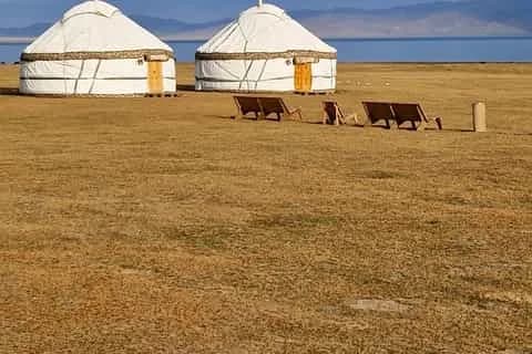
Song-Köl at 3,016 m is the set-piece most itineraries touch, and it is instructive for bikepackers: despite the altitude, its four gravel access roads are decent enough that locals drive up in old saloons, and they are fine for loaded bikes. You do not need a 4WD track to be terrifying — you need clearance and patience. Other linking passes, where riders choose to use them, sit far higher and rougher: the Tosor pass (about 3,893 m) and the Kegeti pass (about 3,785 m) are 4WD-only, snow-affected and summer-only, and they turn a normal day into a long, committing one.
Altitude and weather
This is the factor people underestimate most. Kyrgyzstan puts you above 3,000 m faster than almost any budget destination — Bishkek sits at only about 800 m — and altitude illness is the commonest reason trips unravel. Above 3,000 m, the standard guidance is to raise your sleeping height by no more than about 500 m a day, with a rest day every three or four. Physical fitness offers no protection, and a strong rider can be the one who gets ill. If a headache worsens or you get confused or breathless at rest, descend. Read our altitude sickness in Kyrgyzstan guide before you go and build acclimatisation nights into the plan rather than hoping.
The weather runs to a daily rhythm across the Tien Shan: clear at dawn, cloud building from late morning, convective thunderstorms and graupel through the afternoon, clearing at dusk. Get over your pass early. Snow is possible at altitude in any month, including July and August, and a cold night at a 3,500 m camp can drop below freezing while the valley you left was 25°C. Wind is usually a bigger enemy than absolute cold.
Resupply, water and fuel
Plan food like an expedition. There is no resupply on the high sections — the big shops are in Bishkek, Karakol, Naryn and Osh, with tiny village stores and the occasional yurt selling bread, kymyz and a hot meal in between. Buy your staples in a town, carry several days' food, and treat any yurt meal you find as a bonus rather than a supply point.
Water is plentiful and cold, but it is not clean. Every valley is grazed all summer, so even a crystal-clear stream below a jailoo can carry giardia. Filter or treat everything below the glacier snouts. Carry the capacity to dry-camp: reliable water can be an hour's descent from a pass.
If you are running a stove, screw-thread gas canisters (EN417) are sold in Bishkek and Karakol outdoor shops but stock is unreliable, so buy on arrival, not en route. Petrol thins out sharply off the main network, which matters if you plan any motorised support vehicle.
Bike and tyre setup, at a high level
Without prescribing exact numbers, the sensible shape is a rugged drop-bar or flat-bar bike built around wide, high-volume tyres with plenty of clearance and mud room. Most riders here run a plus-ish or wide gravel/mountain tyre with a supple casing and dependable puncture protection, tubeless, carrying spare sealant, a spare tyre or boot, and the ability to fit tubes when sealant fails at altitude in the cold.
Gear low: the loaded climbs to 3,000–3,900 m passes are long and the air is thin, so a wide, low-geared range beats a punchy one. Carry a genuinely self-sufficient tool and spares kit — there are no bike shops between the cities. Bring a proper four-season-capable shelter and a sleeping bag rated well below freezing, because you will sleep high and exposed. Trekking-style layering with a real windproof, waterproof shell is not optional.
Permits and where the route nears border zones
Parts of the high Tian Shan sit inside Kyrgyzstan's border-permit zones, near the Chinese and Tajik frontiers, and these are separate from your visa. If your line drifts toward Kel-Suu, Chatyr-Köl, the Torugart area, the Inylchek/Khan Tengri side or the Peak Lenin approach in the Alay, you will need a border-zone permit — an original paper document you carry with your passport. Apply well ahead: lead times run from a few working days to a couple of weeks depending on the issuer, and turning up without one wastes days.
The good news is that the classic high-pasture crossings do not need a permit. Song-Köl, Tash Rabat and the Issyk-Köl valleys are all permit-free — a common myth says otherwise. Our border permit guide sets out the zones and how to arrange one, and if you want to combine riding with walking, the trekking in Kyrgyzstan guide covers the same country on foot.
Navigation: a route to plan, not a trail to follow
Be honest with yourself here. This is not a signed trail. Trail marking off the main routes is poor to non-existent, and a well-trodden boot or tyre path in clear weather becomes genuinely confusing in cloud on a pass. You are the navigator.
The standard toolkit is offline mapping — Organic Maps and Maps.me (both OSM-based) for the tracks, and 2GIS for towns and transport. Download your GPX before you leave signal, because there is none in the upper valleys. For paper, the Austrian Alpine Club (Alpenverein) 1:100,000 sheets are the best available for the Karakol/Terskey and Khan Tengri areas, and free scans of Soviet General Staff topo maps still give the most complete coverage of the whole range. Carry a satellite messenger (inReach or similar): there is no reliable, free, state-run mountain rescue, help is hours away and weather-dependent, and a phone will not raise anyone from most of the route.
Shorter segments if you don't have three weeks
Most people cannot take a month. The traverse breaks cleanly into shorter loops that keep the character without the full commitment. These are indicative — build and verify your own line.
| Segment | Rough length | Why ride it |
|---|---|---|
| Suusamyr valley and passes | 3–5 days | High grassy plateau, yurts, gentler gradients as a first high tour |
| Kochkor – Song-Köl loop | 3–4 days | The signature 3,016 m lake on decent gravel; permit-free |
| Naryn – Tash Rabat and back | 3–4 days | Caravanserai country at about 3,200 m; mostly good surface |
| Issyk-Köl south shore to the Tosor side | 4–6 days | Lakeshore into serious 4WD passes for stronger riders |
Whichever you choose, the seasonal rule holds: the high ground is really only reliable from about July to September, and shoulder-season passes may be under snow while the yurt camps are not yet up. Our best time to visit Kyrgyzstan guide explains why spring and autumn are the weakest windows for high routes.
Getting to the start and doing it supported
Most riders fly into Bishkek (note the airport's IATA code changed from FRU to BSZ in 2025) or Osh, build the bike, spend a night acclimatising low, then shuttle to their chosen trailhead. If a full self-supported expedition is a stretch, a local operator can carry your kit, sort permits and put a vehicle within reach — a reasonable way to ride the high days without carrying everything. Browse multi-day trekking and mountain trips to see what running it with local support looks like, and lean on the community's GPX tracks and forum threads to firm up your line before you fly.
Chat with a real person — free
Seif and the team reply on WhatsApp 24/7 — trip questions, custom plans and booking help.
Ask Seif on WhatsAppCommon questions
What is the Tian Shan Traverse?
It is a self-supported bikepacking route of roughly 1,000 km across the Kyrgyz Tian Shan, running broadly west to east and staying high most of the way. It links valleys, passes above 3,000 m and shepherd tracks, mostly on jeep road and singletrack. There is no single official GPX or signage — riders build their own line through the same corridor of high country.
How long does the full route take?
Most riders take two to three-plus weeks self-supported, depending on fitness, acclimatisation days, weather and the exact line they build. Altitude and rough surfaces make days shorter than the distance suggests, so plan conservatively and add buffer days. If you have less time, ride one of the shorter loops — a Song-Köl or Suusamyr segment fits comfortably into three to five days.
How hard is it, really?
Hard — expedition-grade, not a first bike tour. The difficulty comes from altitude, remoteness and surface rather than technical trail. You ride loaded to passes above 3,000 m, sleep high and cold, ford glacier-fed rivers, and go days between resupply with no reliable rescue. Fit, experienced tourers who are comfortable navigating off-trail and managing altitude do fine; beginners should build up on shorter segments first.
When is the best time to ride it?
Roughly July to September. The high passes are only reliably open and snow-free in the short summer, and the jailoo yurt camps open and close with the grass and the passes. May and October are shoulder months where half the high route may be under snow with camps not yet set up. Snow is still possible at altitude even in midsummer, so pack for it.
Do I need a permit for the route?
Only where your line nears a border zone. Areas toward Kel-Suu, Chatyr-Köl, Torugart, Inylchek/Khan Tengri and Peak Lenin need a border-zone permit carried on paper with your passport, applied for days to weeks ahead. The classic high crossings — Song-Köl, Tash Rabat and the Issyk-Köl valleys — need no permit, despite a common myth. Check your GPX against the zones before you go.
What bike and tyres should I use?
A rugged drop-bar or flat-bar bike with wide, high-volume tyres, generous mud clearance and low gearing. Most riders run a plus-ish or wide gravel/mountain tyre, tubeless, with spare sealant, a spare tyre or boot and tubes as backup. Clearance and grip matter more than speed here. Carry a fully self-sufficient tool kit — there are no bike shops between the main cities.
How do I handle water and resupply?
Carry several days of food bought in Bishkek, Karakol, Naryn or Osh; there is no resupply on the high sections beyond tiny village shops and the odd yurt meal. Treat all water — even clear streams below a jailoo carry giardia from grazing livestock, so filter or purify everything. Carry enough capacity to dry-camp, since reliable water can be an hour's ride below a pass.
Is it a signed, waymarked trail?
No. Trail marking off the main routes is poor to non-existent, and a clear track in sunshine becomes confusing in cloud on a pass. You navigate yourself using offline maps (Organic Maps, Maps.me, 2GIS), a downloaded GPX and, ideally, paper backups such as Alpenverein or Soviet topo sheets. Carry a satellite messenger — there is no phone signal in the high valleys and no guaranteed rescue.
Can I ride shorter sections instead of the whole thing?
Yes, and most people do. The traverse breaks into three-to-six-day loops that keep the character without the full commitment: a Kochkor–Song-Köl loop, the Suusamyr plateau, Naryn to Tash Rabat, or the Issyk-Köl south shore into the Tosor-side passes for stronger riders. These are permit-light where they stay on the classic pasture routes, and easier to link with towns.
Book it on This is Kyrgyzstan
Turn this guide into a trip
Kyrgyzstan's bestsellers
The experiences travelers book most, across the country

Keep reading
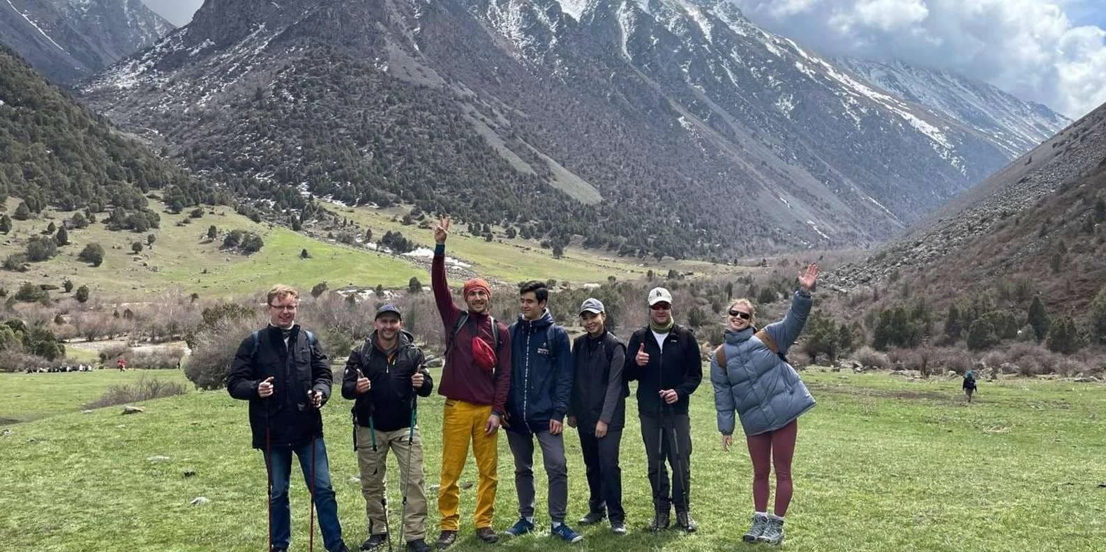
Self-Guided Treks in Kyrgyzstan: Routes & How-To
Yes, you can trek Kyrgyzstan without a guide. The best self-guided routes, the ones to skip, and the maps, water and safety logistics that make it work.
By TiK Editors12 min read
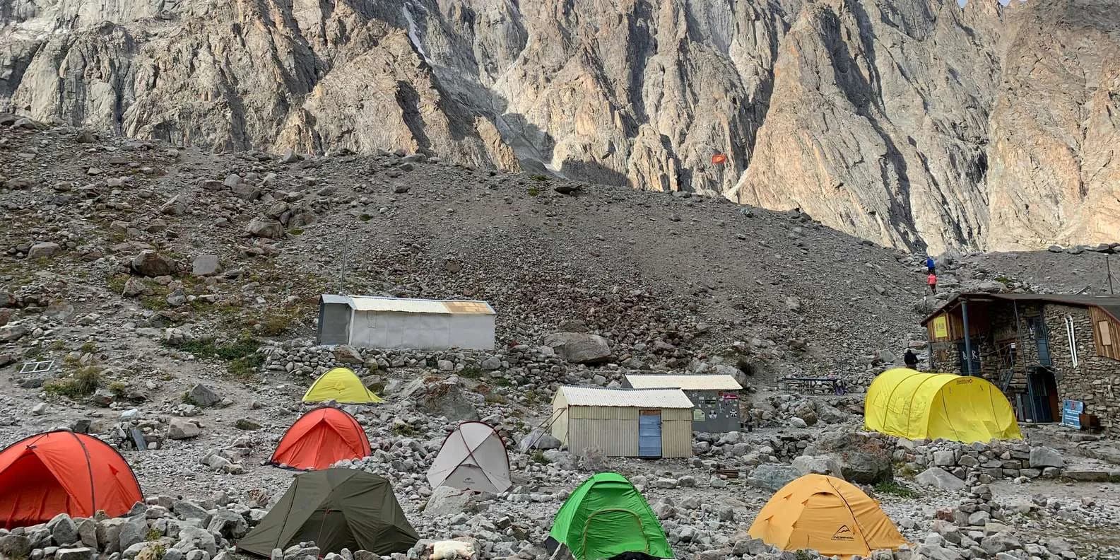
Uchitel Peak: Your First 4,000m Climb (2026)
Pik Uchitel (~4,400-4,600 m) in Ala-Archa is the classic first summit for fit hikers new to mountaineering: route, gear, season and acclimatisation.
By TiK Editors8 min read
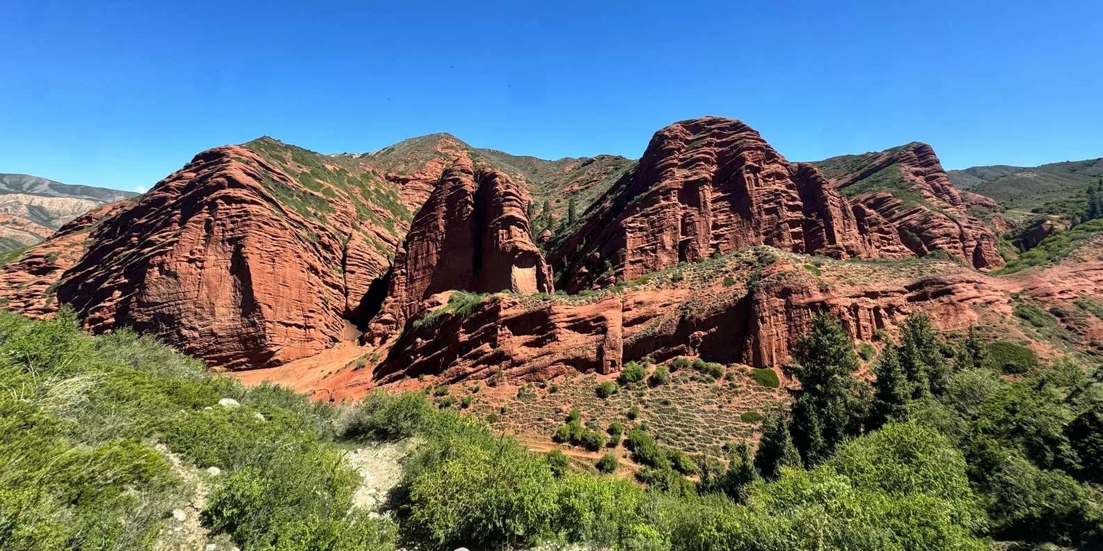
Boz-Uchuk Lakes Trek from Jyrgalan (2026)
A moderate 2–3 day trek to a string of alpine lakes above Jyrgalan — quieter than Karakol's classics, with community yurts, horses and clear DMO rates.
By TiK Editors8 min read