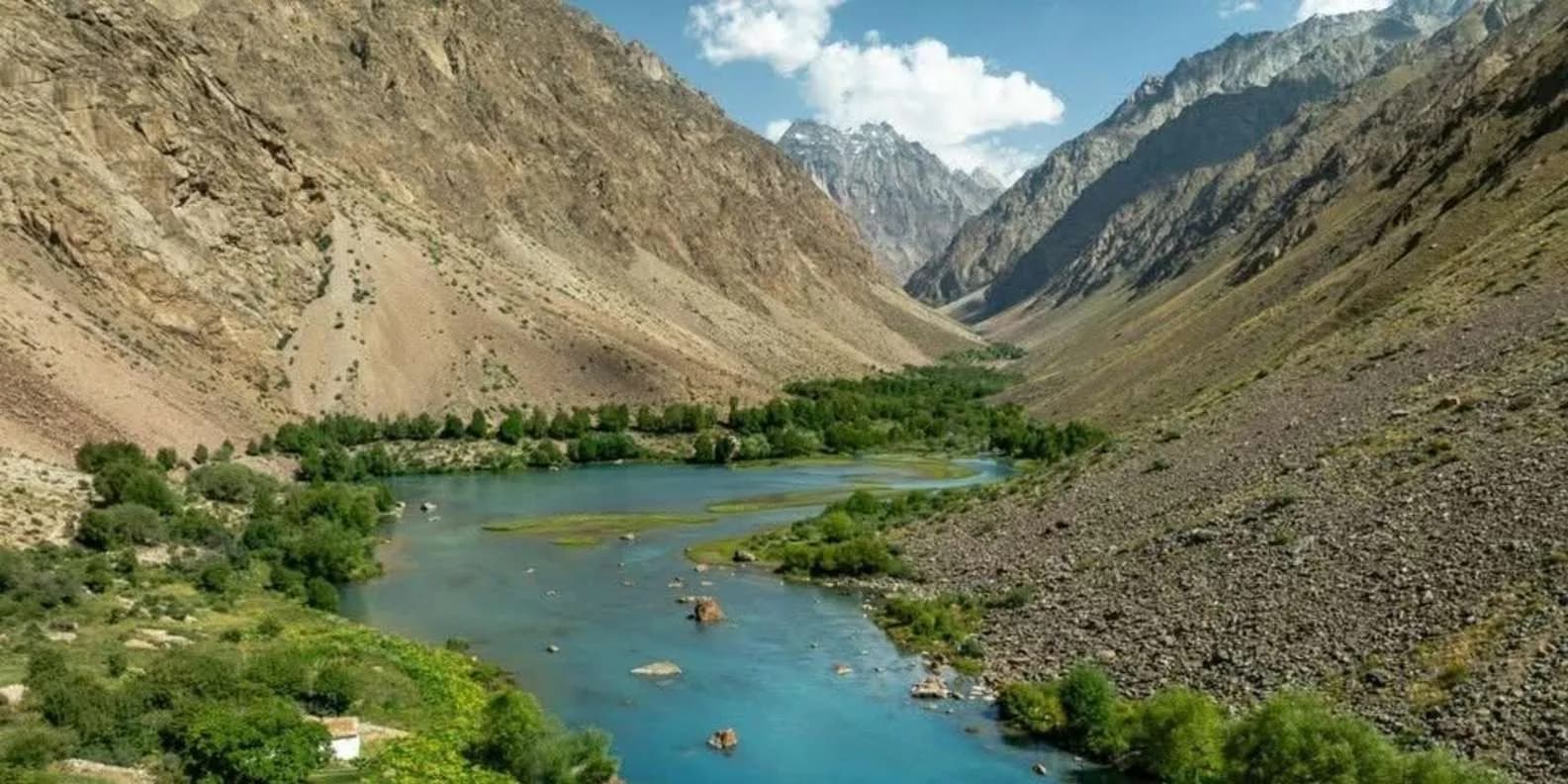
 Image via GetYourGuide
Pamir Highway Tour from Kyrgyzstan (2026)
The M41 from Osh: the Kyrgyzstan-only Alay leg under Peak Lenin, the cross-border run into Tajikistan, permits, altitude, season and how to travel it.
Book it on This is Kyrgyzstan
Osh · Turn this guide into a trip
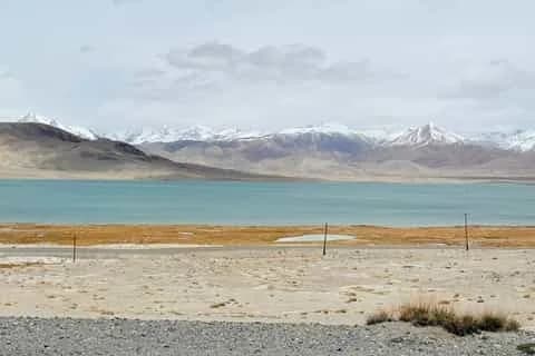
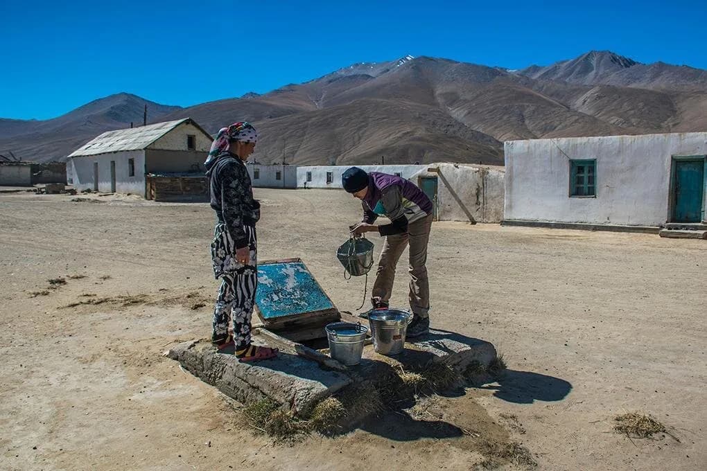
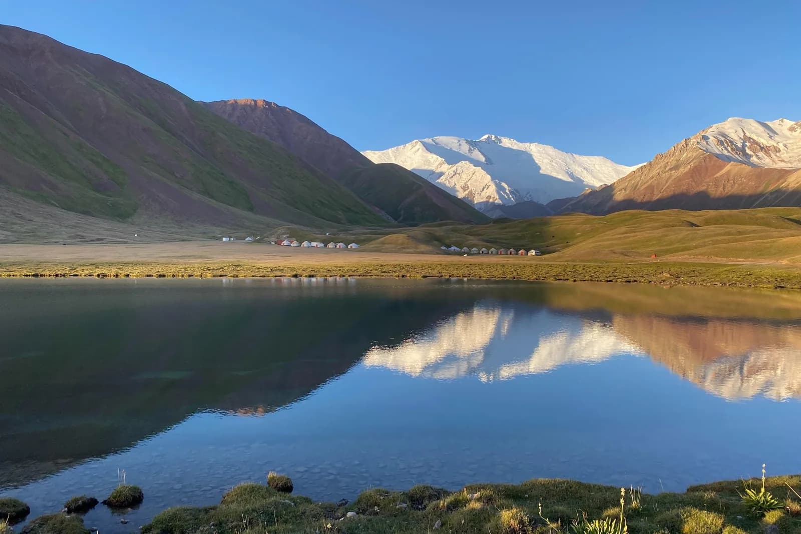
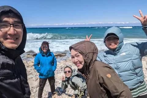
The Pamir Highway starts in Osh, and the southern Kyrgyz section is the most accessible way to drive part of the M41 — often billed as the world's second-highest through-road — without arranging a Tajik visa. From Osh you climb over the Taldyk pass to Sary-Tash, then turn west into the Alay Valley beneath Peak Lenin (7,134 m). If you want the full legendary stretch to Murghab and Khorog, you cross the Kyzyl-Art pass into Tajikistan's Gorno-Badakhshan, and that needs a Tajik visa plus a GBAO permit. This guide covers both — the Kyrgyzstan-only version most people should do, and the cross-border continuation.
Where the road actually goes
The M41 runs south out of Osh through Gulcha, climbs the Taldyk pass (about 3,615 m), and drops to Sary-Tash, a windswept crossroads village on the floor of the Alay Valley roughly 186 km and three to four hours from the city. Sary-Tash is where the road splits three ways: south over the Kyzyl-Art pass into Tajikistan, east towards the Irkeshtam pass and China, and north back to Osh. Whichever branch you take, the payoff at Sary-Tash is the same — the entire southern horizon fills with the Trans-Alay wall, a line of 6,000 m and 7,000 m peaks that includes Peak Lenin.
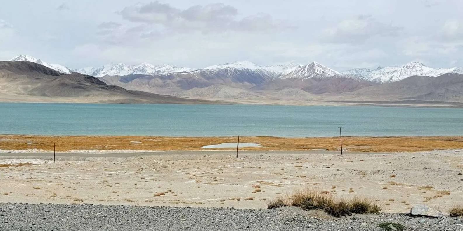
The genuinely famous part of the highway — Sary-Tash to Karakul lake to Murghab and on to Khorog — lies inside Tajikistan. On the Kyrgyz side you get the approach, the passes and the single best roadside view of the Pamirs, all reachable from Osh in a day. For a wider sense of how this fits the historic caravan routes through the Fergana Valley, see our Silk Road in Kyrgyzstan guide; Osh is where a mountain route becomes a valley route, which is the whole reason the city exists.
Kyrgyzstan-only vs the full cross-border run
Be honest with yourself about scope before you plan. There are two very different trips here.
The Kyrgyz leg — no Tajik paperwork. Osh → Sary-Tash → Sary-Mogol → the Alay Valley under Peak Lenin, then back to Osh (or east towards Irkeshtam). This needs no Tajik visa, no GBAO permit and, for the paved section to Sary-Tash, no border permit at all. You still stand under a 7,134 m peak, sleep in a valley yurt at 3,600 m and drive two high passes. For most travellers with a week or less, this is the trip.
The cross-border continuation — visa plus permit. To carry on from Sary-Tash to Murghab and Khorog you cross the Kyzyl-Art pass (around 4,200 m; sources give 4,180–4,280 m) at the Bor-Döbö Kyrgyz post, then a roughly 20 km no-man's-land, then the Tajik post. That requires a Tajik visa and a GBAO (Gorno-Badakhshan) permit, and the Kyrgyz side also wants a border permit — with a vehicle permit on top if you self-drive, allow at least three working days to process. GBAO permit rules and the crossing's open status have swung repeatedly since the 2021–2022 unrest in the region, so treat anything you read, including this, as needing a fresh check before you commit. If you're weighing a Tajik add-on against staying in Kyrgyzstan, our Kyrgyzstan vs Tajikistan trekking comparison is the place to start.
The Alay Valley under Peak Lenin
The highlight of the Kyrgyz leg is the short westward run from Sary-Tash. Sary-Mogol sits 34 km west, a growing village (population around 5,200) that serves as the community-tourism base for the Alay and the staging point for Peak Lenin base camp and Tulpar-Köl. From Sary-Mogol it is about 45 minutes by 4WD up to the Achik-Tash meadow at roughly 3,600 m, where the Tulpar-Köl lakes sit and yurt camps cluster below the north face of the mountain.
You do not need to be a climber. The standard non-technical viewpoint is Traveller's Pass (about 4,100 m), roughly three hours on foot from the camps, which opens up the full Lenin Peak face — the "see Lenin Peak without climbing it" answer. For the walking side of this, and where base camp sits in a proper trekking itinerary, read our Peak Lenin base camp trek guide. If you happen to be there on the third weekend of July, the Alay festival brings horse games and yurts to the valley.
Route at a glance
| Stage | Distance / time | Why it matters |
|---|---|---|
| Osh → Sary-Tash | 186 km, 3–4 h (Taldyk pass ~3,615 m) | Good tarmac; the Trans-Alay wall first appears |
| Sary-Tash → Sary-Mogol | 34 km, ~45 min | Turn west into the Alay Valley under Peak Lenin |
| Sary-Mogol → Tulpar-Köl / base camp | ~45 min by 4WD | Yurt camps at ~3,600 m; Peak Lenin (7,134 m) face |
| Sary-Tash → Kyzyl-Art pass (Tajik border) | border zone, ~4,200 m | Crosses into GBAO — Tajik visa + permit needed |
| Sary-Tash → Irkeshtam (China) | ~250 km from Osh | Kyrgyzstan's western crossing towards Kashgar |
Times are realistic road times, not map-app estimates. The Osh–Sary-Tash tarmac is in genuinely good condition; the Tajik-border section beyond Sary-Tash is rougher.
How to travel it
Hire a 4WD with a driver. The most common way, and the most flexible. A decent jeep runs from about US$50 a day and top models around US$100; agencies in Osh arrange this, often with an English-speaking driver. Pre-book in summer — vehicles sell out even when accommodation does not. A driver means you can stop at Sary-Tash for photos, detour to Sary-Mogol and time the passes for good light.
Shared transport from Osh. You can reach the Alay independently and cheaply. One daily marshrutka leaves Osh's old bus station at around 14:00 for Sary-Mogol, taking four to five hours for roughly 300 som (about US$3.50); shared taxis cover the same route in three to four hours for around 400 som (about US$4.50) a seat. From Sary-Mogol you then negotiate a local 4WD up to Tulpar-Köl. Sary-Tash itself is easy to reach on any Sary-Mogol- or border-bound vehicle. Osh airport connects to the city on marshrutka 107 or 142 every ten minutes (about 25 minutes), or a taxi for 200–300 som.
Cycling. The Kyrgyz Pamir is a bucket-list cycle-touring route, and the Osh–Sary-Tash–Alay section is ridden every summer. It is serious high-altitude riding — long climbs, thin air, fierce sun and few supplies — so it belongs with experienced tourers. Our cycling in Kyrgyzstan guide has the practicalities.
Most people reach Osh itself by the 45-minute flight from Bishkek (roughly US$40) rather than the 10–12 hour drive; if you do want the overland approach, the Bishkek to Osh road trip guide covers that separate journey.
Permits, borders and paperwork
For the paved Kyrgyz leg to Sary-Tash and Sary-Mogol, you need nothing beyond your Kyrgyzstan entry. Kyrgyzstan is visa-free for around 55 nationalities for 30 days within any rolling 60-day period — check your own nationality at the official e-visa portal, evisa.e-gov.kg.
Peak Lenin base camp officially sits in a border zone and a permit is technically required, though travellers going only as far as the base camp and Traveller's Pass are not generally reported to be stopped. If you plan to sleep at Achik-Tash or go higher, ask your Sary-Mogol or Osh agency to sort the permit.
For the Tajik continuation you need the Tajik visa and GBAO permit described above, plus the Kyrgyz border permit for Kyzyl-Art / Bor-Döbö. The Irkeshtam crossing to China is the freight route — endless truck queues, a bus through the pass on Mondays and Tuesdays, long distances between posts and no public transport in the no-man's-land — but it is usually simpler for independent travellers than Torugart because no Chinese invitation is required. Border rules in this corner change fast; confirm current status before you build a trip around any crossing.
Altitude: the part people underestimate
This is the single thing to plan around. You go from Osh at roughly 1,000 m to the Taldyk pass at 3,615 m and yurt camps at 3,600 m within a day or two, and the Lenin Peak approach is exactly the profile that produces acute mountain sickness. Trekkers who push straight from Osh to Achik-Tash and then higher are where Kyrgyzstan's serious altitude cases concentrate.
Spend a night in the Alay Valley — Sary-Tash or Sary-Mogol — before going up to base camp, don't gain sleeping altitude too fast, and descend if a headache worsens or you become unsteady. Mobile coverage is absent across most of the valley, so a satellite messenger is the realistic way to call for help, and mountain rescue here is a limited volunteer service. Our altitude sickness in Kyrgyzstan guide has the acclimatisation rules and warning signs in full — read it before you go above Sary-Tash.
When to go
The season is short: roughly mid-June to mid-September, with July and August the only reliably open months for the high passes and the Alay yurt camps. The passes here sit above 3,600 m and can hold snow into July; the Achik-Tash meadow camps operate June to September and are gone either side. May and October are shoulder months when half the plan is shut — the Tulpar-Köl camps aren't up, the valley is cold and the weather is unreliable. Plan for July or August unless you have a specific reason not to.
How many days you need
For the Kyrgyzstan-only version, three to four days from Osh is comfortable: a day to Sary-Tash, a day into the Alay and up to Tulpar-Köl, a day for the Traveller's Pass viewpoint or a base-camp walk, and the drive back. Add a night in the valley purely for acclimatisation if you intend to walk high. Osh itself deserves a day at either end — Sulaiman-Too and the city are covered in the Osh travel guide and on the Osh destination hub.
The full cross-border Pamir Highway to Khorog is a different scale of trip — a week or more from Sary-Tash onward, on top of the visa and permit lead time. Don't try to bolt it onto a short Kyrgyzstan holiday.
Where to sleep
Sary-Tash has simple guesthouses and homestays clustered around the junction — basic, warm and used to travellers breaking the journey between Osh, China and Tajikistan. Sary-Mogol has the Alay's community-tourism homestays and is where you organise the onward 4WD. Up at Tulpar-Köl / Achik-Tash, the standard non-climber accommodation is a yurt camp from around 1,000 som (about US$11) a night including breakfast and dinner — cold at 3,600 m, so pack for it. Beds are almost always available even in peak season; it's the hire vehicles that sell out, so book the car first.
Ready to plan the Alay leg? Browse trips on our trekking tours hub, or start with the Osh destination page and build outward from there.
Chat with a real person — free
Seif and the team reply on WhatsApp 24/7 — trip questions, custom plans and booking help.
Ask Seif on WhatsAppCommon questions
Can you drive the Pamir Highway from Kyrgyzstan without entering Tajikistan?
Yes. The Kyrgyz leg — Osh over the Taldyk pass to Sary-Tash, then west to Sary-Mogol and the Alay Valley under Peak Lenin — needs no Tajik visa and no GBAO permit. You get two high passes, the Trans-Alay wall and a night in a valley yurt at 3,600 m, all within a day or two of Osh. Only the continuation south over the Kyzyl-Art pass to Murghab and Khorog requires Tajik paperwork.
Do you need a permit for the Kyrgyz side of the Pamir Highway?
For the paved run to Sary-Tash and Sary-Mogol, no — just your Kyrgyzstan entry, which is visa-free for around 55 nationalities for 30 days per rolling 60-day period. Peak Lenin base camp technically sits in a border zone and a permit is officially required, though travellers reaching only the base camp and Traveller's Pass are rarely stopped. Crossing into Tajikistan or China needs the full border permits and visas.
How long does the Osh to Sary-Tash drive take?
About three to four hours over 186 km of good tarmac, crossing the Taldyk pass at roughly 3,615 m. Map apps suggest less, but real road times are slower once you allow for the climb, slow trucks and police checks. Sary-Mogol is a further 34 km and around 45 minutes west of Sary-Tash. Budget most of a day if you're stopping for photos at the pass and the Alay viewpoint.
When is the best time to drive the Pamir Highway from Osh?
July and August are the only reliably open months. The wider season runs roughly mid-June to mid-September, but the passes sit above 3,600 m and can hold snow into July, and the Alay yurt camps only operate through summer. May and October are poor — the Tulpar-Köl camps aren't set up, and weather on the passes is unreliable. Plan for high summer unless you have a specific reason otherwise.
How do you get from Osh to Sary-Mogol without your own car?
One daily marshrutka leaves Osh's old bus station around 14:00 for Sary-Mogol, taking four to five hours for about 300 som (US$3.50). Shared taxis cover it in three to four hours for around 400 som (US$4.50) per seat from the same station. From Sary-Mogol you then hire a local 4WD up to Tulpar-Köl and Lenin Peak base camp. Confirm departure times on the day, as schedules shift.
Do you need a 4WD for the Pamir Highway on the Kyrgyz side?
Not for the main M41 to Sary-Tash, which is paved and fine for any car. You do want a high-clearance 4WD for the track up from Sary-Mogol to Tulpar-Köl and Peak Lenin base camp. Hiring a jeep with a driver from Osh runs from about US$50 a day; pre-book in summer, because vehicles sell out even when guesthouse beds don't. Shared transport plus a local 4WD at Sary-Mogol also works.
How high does the road get, and is altitude sickness a risk?
The Taldyk pass tops out near 3,615 m, the Alay yurt camps sit at about 3,600 m, and Traveller's Pass reaches roughly 4,100 m. Going from Osh at 1,000 m to sleeping at 3,600 m in a day is a classic altitude-sickness profile. Spend a night at Sary-Tash or Sary-Mogol before going higher, ascend slowly and descend if symptoms worsen. Carry a satellite messenger — there's no phone signal in the valley.
Can you cross to China from this route?
Yes, via the Irkeshtam pass (about 3,005 m), roughly 250 km southeast of Osh on the eastern branch from Sary-Tash. It's China's westernmost crossing and the freight route, with long truck queues and a bus through the pass on Mondays and Tuesdays. It's usually simpler than Torugart for independent travellers since no Chinese invitation is required, but distances between posts are long with no transport in the no-man's-land. Check current entry rules first.
Is the Pamir Highway safe to travel from Kyrgyzstan?
The Kyrgyz Alay and the Pamir Highway approach carry no travel advisory restrictions as of 2026, and crime is not the concern. The real risks are the road itself — mountain driving on a country with a high traffic-accident rate — plus altitude and fast-changing weather. Travel by day, refuse a tired or drunk driver, and buy insurance that explicitly covers your maximum altitude and helicopter evacuation, which standard policies often exclude.
Book it on This is Kyrgyzstan
Turn this guide into a trip



Kyrgyzstan's bestsellers
The experiences travelers book most, across the country
Keep reading
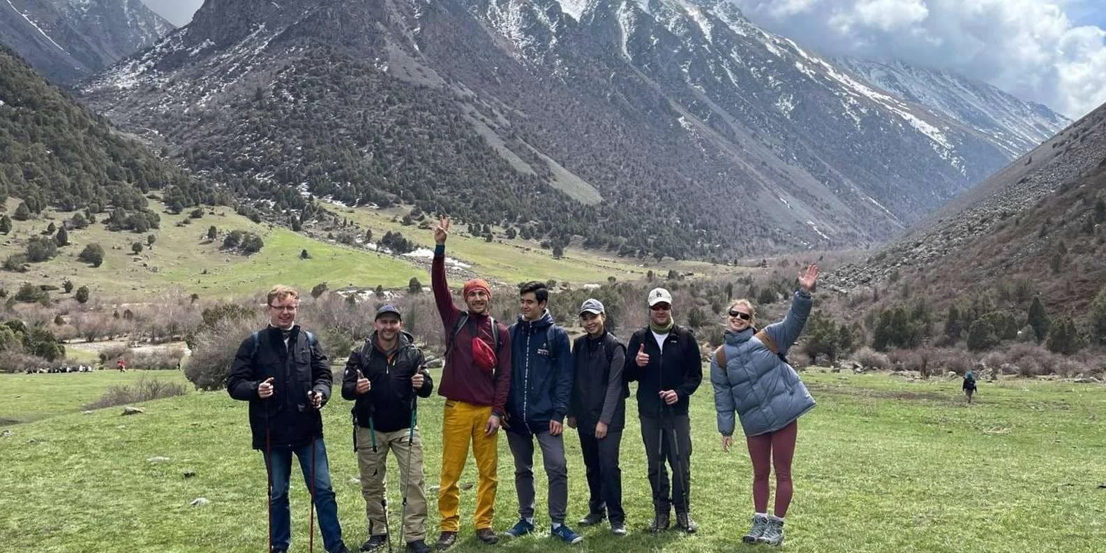
Self-Guided Treks in Kyrgyzstan: Routes & How-To
Yes, you can trek Kyrgyzstan without a guide. The best self-guided routes, the ones to skip, and the maps, water and safety logistics that make it work.
By TiK Editors12 min read
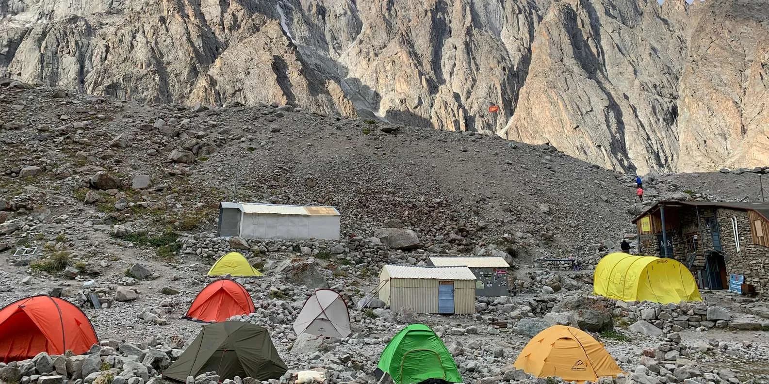
Uchitel Peak: Your First 4,000m Climb (2026)
Pik Uchitel (~4,400-4,600 m) in Ala-Archa is the classic first summit for fit hikers new to mountaineering: route, gear, season and acclimatisation.
By TiK Editors8 min read
Tian Shan Traverse: Bikepacking Kyrgyzstan
The Tian Shan Traverse is a self-supported, mostly off-road bikepacking route of about 1,000 km across the high Kyrgyz mountains. Here's how to plan it.
By TiK Editors9 min read