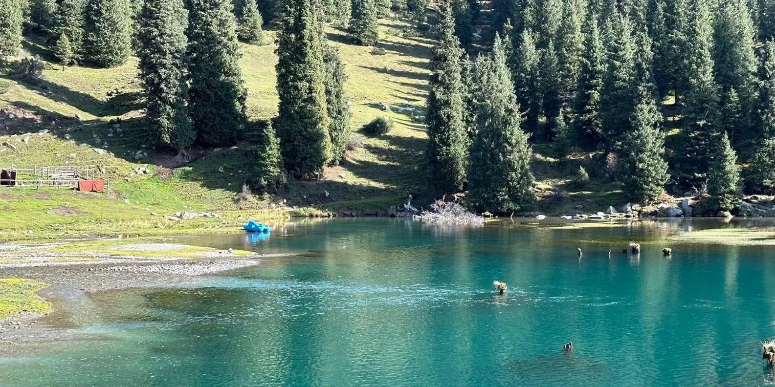
 Image via GetYourGuide
Lake Issyk-Köl: The Complete Guide (2026)
Kyrgyzstan's great alpine lake: north-shore beaches, south-shore canyons, the Karakol treks, how to loop it, when to swim and how many days to give it.
Book it on This is Kyrgyzstan
Issyk-Kul · Turn this guide into a trip
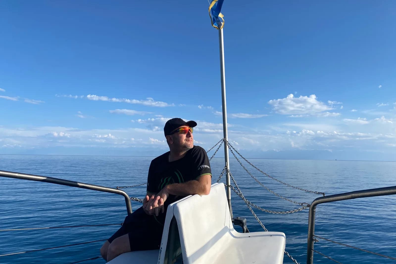
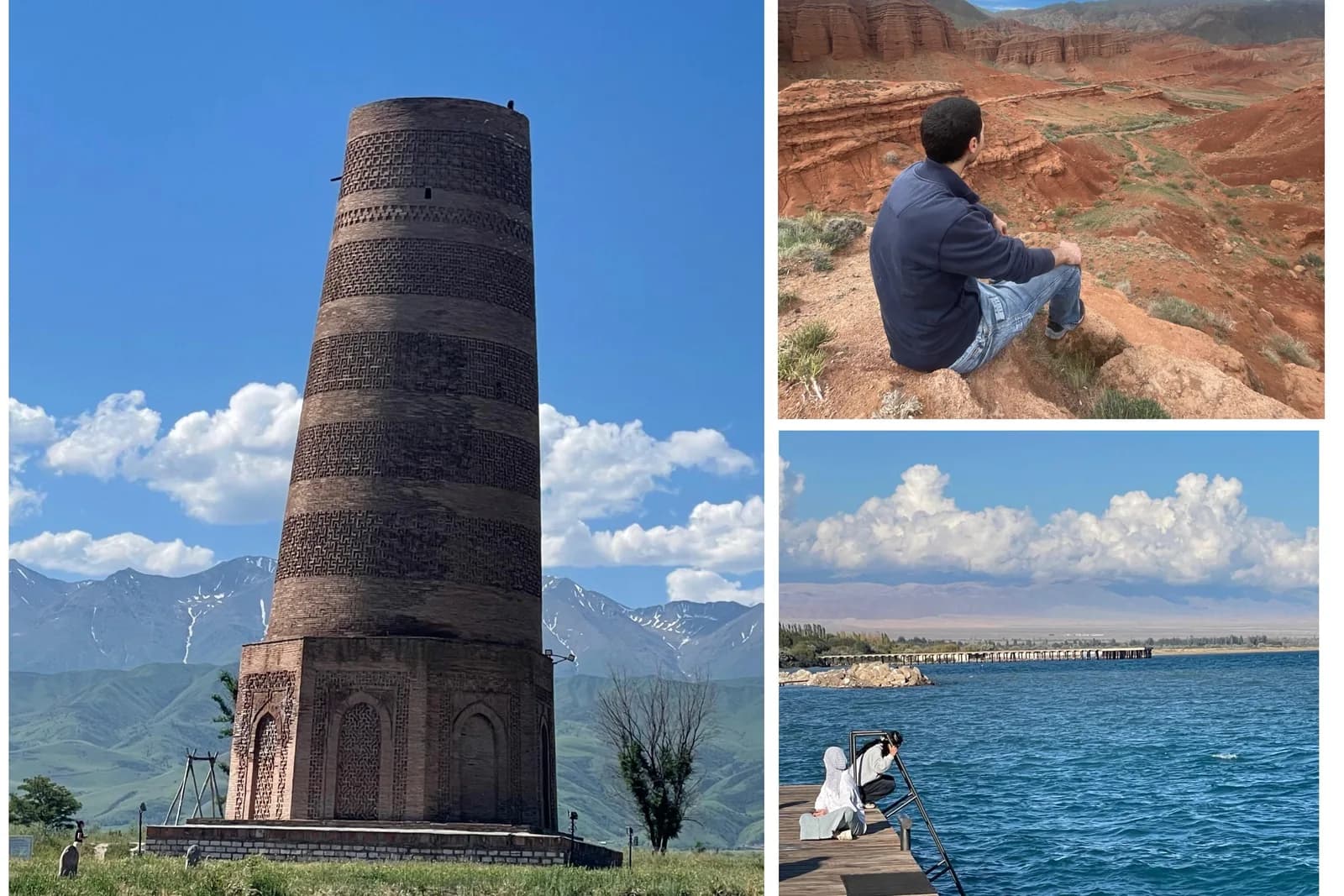
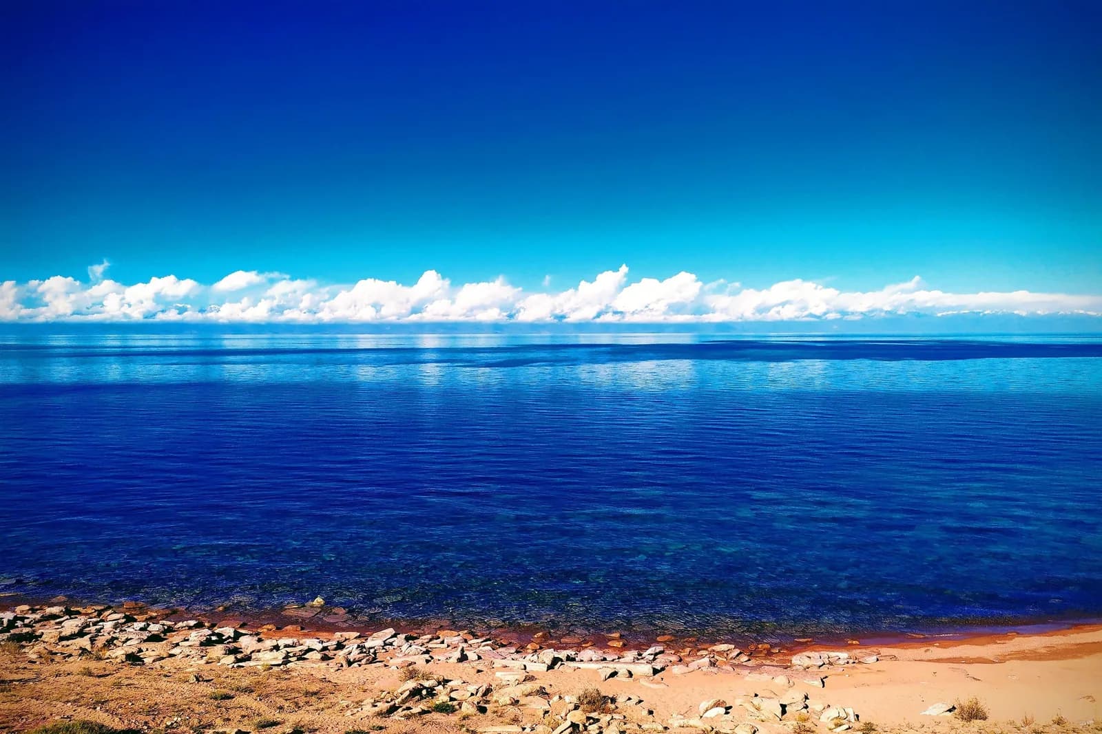
Lake Issyk-Köl (Issyk-Kul) is the huge, slightly salty mountain lake at the centre of eastern Kyrgyzstan, and for most travellers it's the country's main event outside the mountains proper. It's the world's second-largest alpine lake by surface area after Titicaca, sits at about 1,607 m, runs roughly 182 km end to end, and never freezes — which is why its Kyrgyz name means "warm lake". Each shore does a different job: the north is beaches and resorts, the south is red-rock canyons and gorges, and the eastern town of Karakol is the gateway to the high treks. This guide covers all three, plus how to move around the lake, when to come and how long to give it.
The lake itself, in numbers
Issyk-Köl is genuinely enormous, and the statistics are half the reason to come. It reaches 668 m at its deepest point (average depth around 278 m), spreads across roughly 6,236 km², and holds no outflow — it's an endorheic basin, so every river that runs in stays in. That makes it the second-largest saline lake on Earth after the Caspian, and although Titicaca beats it on surface area, Issyk-Köl is far deeper and holds more water. It's a Ramsar wetland (designated 1975) and a UNESCO Biosphere Reserve (2000) covering the whole basin.
The reason it doesn't ice over is a mix of two things. The water is mildly saline, about 0.6% salt against seawater's 3.5%, which lowers the freezing point; and the sheer volume of deep water can't shed enough heat in a Kyrgyz winter to freeze through. Shallow bays and river mouths can crust with ice in a hard cold snap, but the open lake stays liquid year-round. It's freshwater-adjacent enough to swim in with no jellyfish, no tides and nothing that stings.
| Stat | Figure |
|---|---|
| Altitude | ~1,607 m |
| Maximum depth | 668 m |
| Average depth | ~278 m |
| Length | ~182 km |
| Width | up to 60 km |
| Surface area | ~6,236 km² |
| Summer water temp (Jul–Aug) | +22 to +24°C |
| Salinity | ~0.6% |
North shore or south shore? The basic split
The first decision is which side you're on, because the two shores barely feel like the same lake. The north shore is the developed coast: a proper paved highway, sanatoriums, hotels, beach clubs, the petroglyph field and the resort town of Cholpon-Ata. The south shore is the wild side, with patchy gravel roads, small villages, red sandstone canyons, eagle hunters and glacial side-valleys climbing into the Terskey Ala-Too. Physically they differ too: the north (Kungey Ala-Too) is drier, gentler and sandier, while the south is higher, greener and cut by big glaciated gorges.
Most people who have the time do both, and the standard route is a clockwise loop — out along the fast north shore to Karakol at the eastern tip, then back the slower, more interesting south shore. If you only pick one, choose by what you're after: sand and comfort, go north; scenery and quiet, go south.
North shore: beaches, petroglyphs and Cholpon-Ata
Cholpon-Ata is the lake's holiday capital and the north shore's hub. About 14,000 people live there year-round, but in July and August the population swells past 50,000 as Kyrgyz, Kazakh and Russian families pour in — Almaty is only five or six hours' drive away. The town's real visual identity is late-Soviet: trade-union sanatoriums in pine-planted grounds along the water, some renovated, some peeling, many still running as budget full-board stays. It's a domestic family resort, not a backpacker scene, and signage is mostly Russian and Kyrgyz. Our Cholpon-Ata guide goes deeper on where to stay and eat.
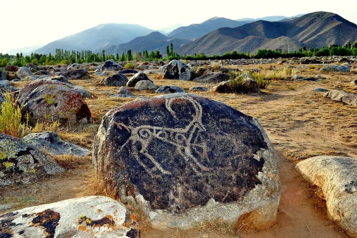
The one genuinely unmissable sight here is the Cholpon-Ata petroglyph field, a 42-hectare stone garden on the moraine terrace just above town. Around 2,000 carvings are scattered across glacial boulders — ibex, snow leopards, hunting scenes and chariots — spanning the Bronze Age to the medieval period, with the best-known animal-style images made by Saka-Scythian and Usun peoples from roughly the 8th century BC. Entry is around 100–200 KGS (about US$2). Be warned: the carvings are shallow and weathered, there's almost no interpretation on site and no shade at all. Go at sunrise or before 10:00, both for the low raking light that makes the images pop and to beat the heat.
The town's most-visited (and most divisive) attraction is Ruh Ordo, a lakeside cultural park founded in 2002 with five small white chapels representing Orthodoxy, Islam, Judaism, Buddhism and Catholicism, plus a pyramid for Tengrism. It's dedicated to Chingiz Aitmatov, Kyrgyzstan's most famous writer, and the rest of the statuary is eclectic to the point of surreal. Entry is 500 KGS (about US$6), open 09:00–19:00 in summer. Read it as either an earnest monument to tolerance or a theme-park assemblage — either way, the white chapels against the water photograph beautifully.
Cholpon-Ata's own beaches are darker, greyish sand; neighbouring Bosteri is the loudest strip, with the waterpark and the biggest hotels; Tamchy, near the airport, is quieter and more village-flavoured. The town's working hippodrome hosted the first three World Nomad Games (2014, 2016, 2018), and the games return to Kyrgyzstan for their sixth edition from 31 August to 6 September 2026, opening in Bishkek with main events around Issyk-Köl and the cultural half staged at the Kyrchyn jailoo inland from Semenovka.
South shore: canyons, gorges and eagle hunters
The south shore is where Issyk-Köl gets interesting, and it's poorly served by public transport, so it rewards a hired car or a tour. Coming from the west, the sights line up along the road:
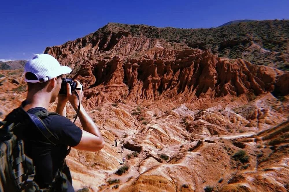
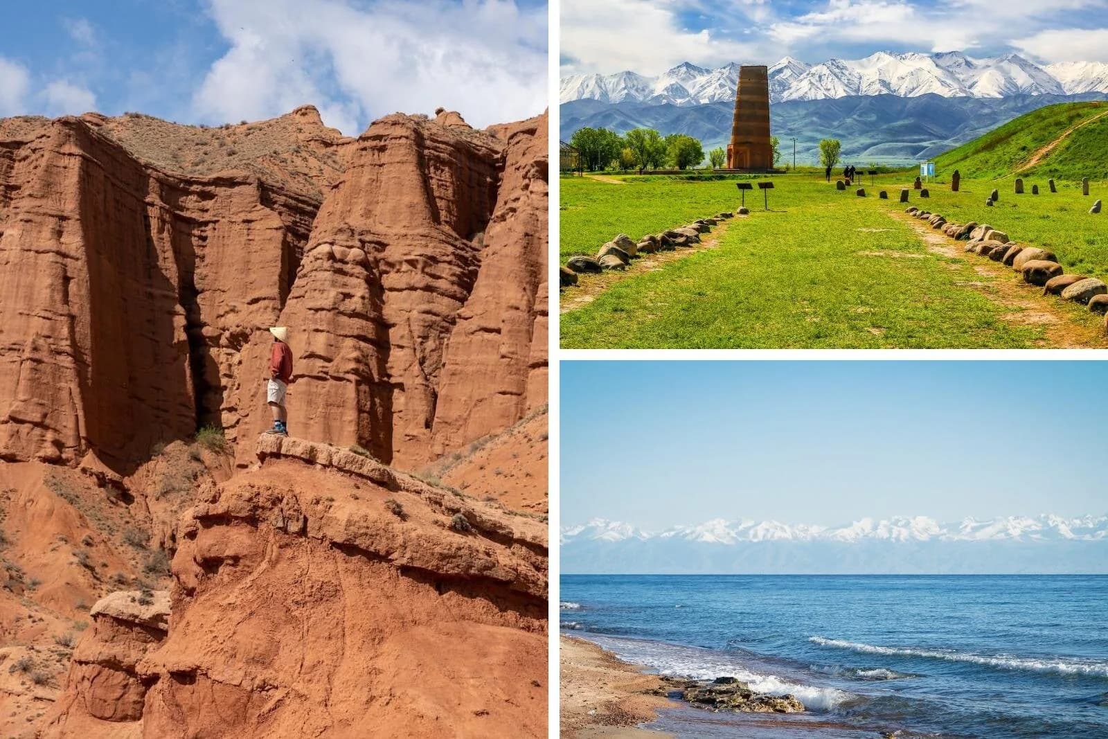
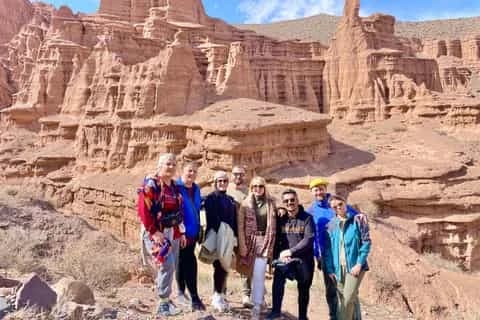
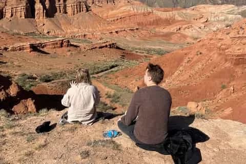
Skazka (Fairytale) Canyon is the easy showstopper — red and orange sandstone eroded into ridges and spires that people read as dragons and castles. Entry is just 50 KGS, cash only, open sunrise to sunset, and despite older reports you don't need a 4WD to reach it. Budget one and a half to three hours to wander through. It sits between Tosor and Kaji-Say, about 30–40 minutes from Bokonbaevo, two hours from Karakol, or four to five hours from Bishkek.
Jeti-Ögüz ("Seven Bulls"), 25–28 km from Karakol, is a wall of red rock fins beside the split "Broken Heart" outcrop, with the flowery Kok-Jaiyk valley and the Maiden's Braids waterfall behind. One planning trap: Jeti-Ögüz village and Jeti-Ögüz Kurort are different places, so confirm your driver is heading to the Kurort. A marshrutka on route 372 from Karakol's Ak-Tilek bazaar costs 80–120 KGS.
Barskoon is a dramatic gorge about 90 km from Karakol with four named waterfalls — the signature "Tears of the Snow Leopard" drops around 24 m in a single free fall — and a Yuri Gagarin connection: the cosmonaut recuperated at a nearby sanatorium in 1965 (not straight after his 1961 flight, whatever the plaques imply). The valley road was built for the Kumtor gold mine and climbs to the Arabel pass at about 3,600 m; you'll need a 4WD and patience for mine traffic above the falls.
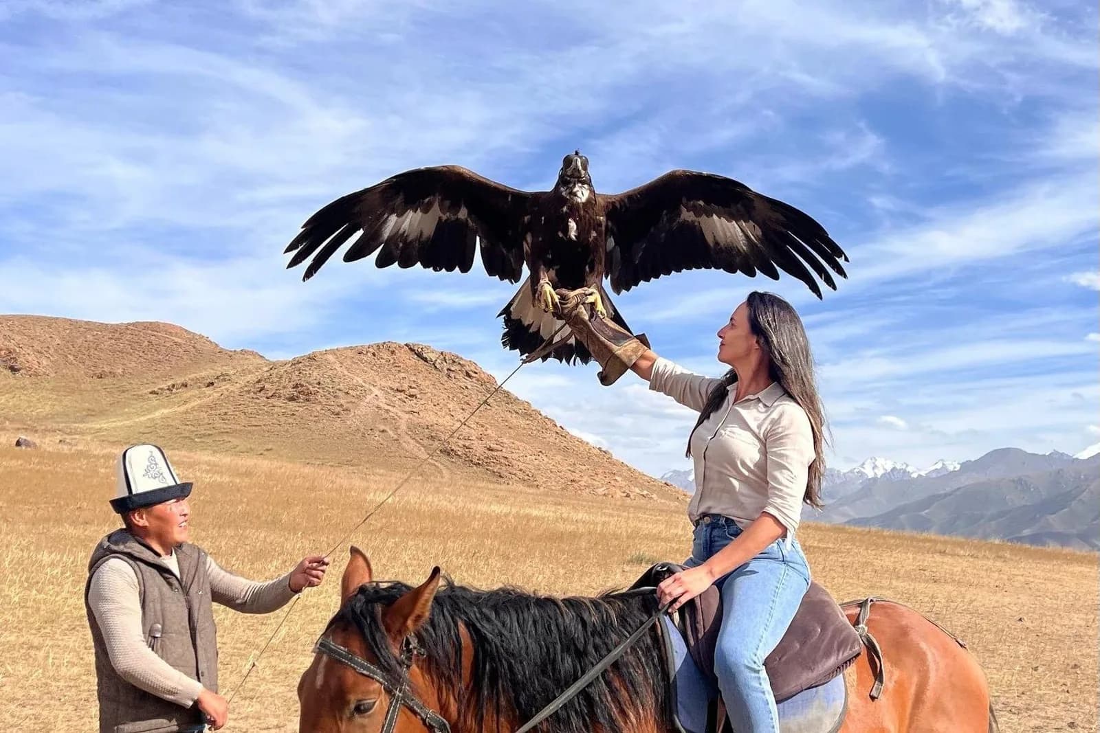
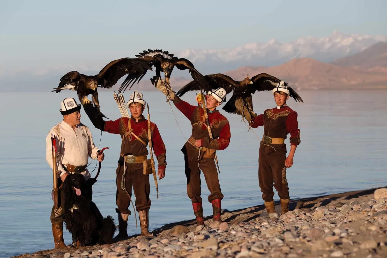
Bokonbaevo is the south shore's main hub and the best base for its culture. Resident berkutchi (eagle hunters) give demonstrations year-round for around US$20–40 — book through a guesthouse or the local DMO so the money reaches the hunter — and the nearby village of Kyzyl-Tuu is where families still build complete yurts by hand; local craftsmen hold the world record for raising one, at 13 minutes. The August Salbuurun festival brings eagle hunting, archery and horseback games. For beaches, Kaji-Say has the best golden sand on the lake (and hot springs, alongside the legacy of a former Soviet uranium mine), while Tosor and quiet Tamga are the low-key alternative bases. Tosor is also the mouth of the rough Tosor pass road (3,893 m), the most direct — and most demanding — overland link across to Song-Köl.
The eastern end: Karakol and the high treks
At the lake's far eastern tip, Karakol is the region's proper town and the trailhead for its best mountain adventures. It has a wooden Russian Orthodox cathedral, a nail-free Dungan mosque, the standout Dungan noodle dish ashlan-fu, and by far the best guesthouses and trekking logistics on the lake. A few miles out on the shore at Pristan-Przhevalsk stands the memorial to explorer Nikolai Przhevalsky, buried here in 1888. Our Karakol guide covers the town in full.
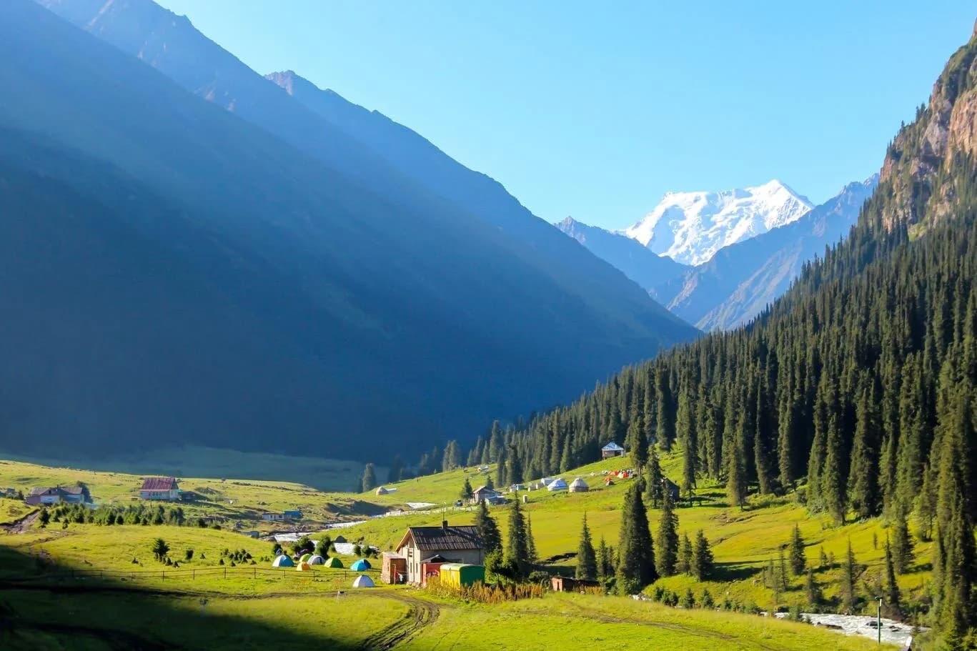
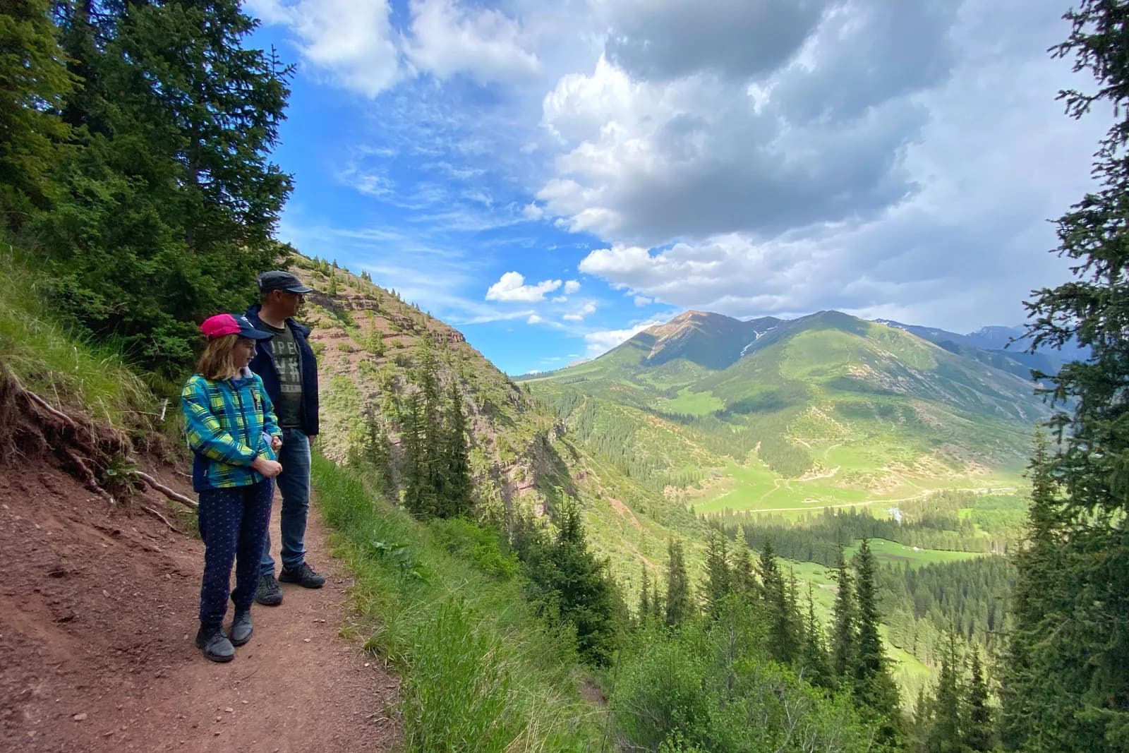
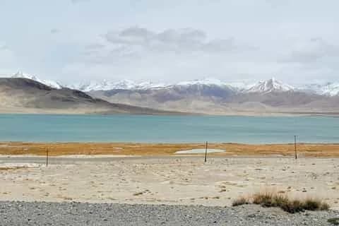
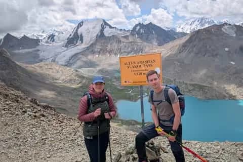
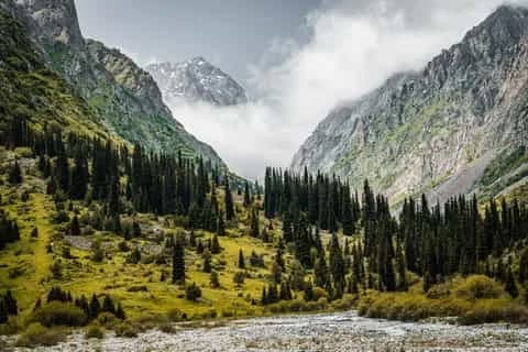
From Karakol two classic routes run up into the Terskey Ala-Too. Altyn-Arashan is a hot-springs valley reachable by a bumpy 4WD track or on foot, an easy overnight for most people — see the Altyn-Arashan trek guide. Ala-Köl is the turquoise alpine lake above it, sitting around 3,530 m below a pass near 3,900 m; it's a demanding two- to three-day trek that needs only the 250 KGS national park ticket at the valley gate. The full route is in our Ala-Köl trek guide. Both are firmly summer-only, roughly mid-June to mid-September once the passes clear.
Things to do around the lake
| Sight / activity | Shore | Rough cost | Time needed |
|---|---|---|---|
| Cholpon-Ata petroglyphs | North | ~US$2 (100–200 KGS) | 1–2 hrs |
| Ruh Ordo cultural park | North | 500 KGS (~US$6) | 2–3 hrs |
| Skazka Canyon | South | 50 KGS, cash | 1.5–3 hrs |
| Jeti-Ögüz cliffs & valley | South/East | Transport ~80–120 KGS | Half day |
| Barskoon waterfalls & gorge | South | 4WD needed above falls | Half–full day |
| Eagle-hunter demo, Bokonbaevo | South | ~US$20–40 | 1 hr |
| Yurt-building show, Kyzyl-Tuu | South | ~1,300 KGS/person | 1 hr |
| Ala-Köl trek from Karakol | East | 250 KGS park ticket | 2–3 days |
Getting there and getting around
Almost everyone arrives from Bishkek, roughly 235 km to the western gateway town of Balykchy where the road first meets the water. From there the north-shore highway (the A365) runs about 220 km of good tarmac to Karakol; the south-shore road is patchier, paved in stretches and gravel in others. The complete ring is around 360 km.
| Route | Marshrutka / bus | Time |
|---|---|---|
| Bishkek → Cholpon-Ata | 500–650 KGS (~US$6–8) | 4–5 hrs |
| Bishkek → Karakol | 750–800 KGS (~US$9–10) | 6–7 hrs |
| Cholpon-Ata → Karakol | shared van | 3+ hrs |
| Karakol → Bokonbaevo | south-shore van | 1.5–2 hrs |
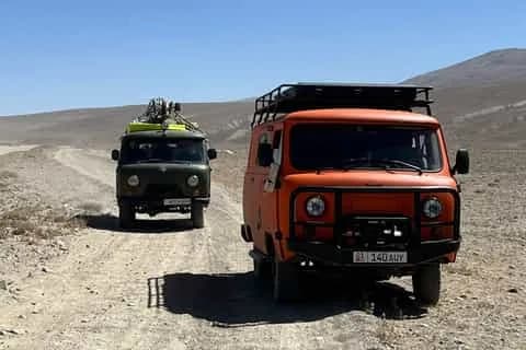
Marshrutkas (shared minibuses) run frequently along the north shore in season and leave from Bishkek's Western Bus Station; a shared taxi is faster but pricier, and a private car runs roughly 4,500–7,000 KGS (US$55–85) to Cholpon-Ata. On the south shore, services thin out sharply after mid-afternoon and in the off-season, which is exactly why hiring a car and driver for a day or two is the flexible way to string together the spread-out canyons. Cyclists ride the full loop in four to seven days; the quieter, rougher south half is the part they come for, but plan water and food carefully and respect the thin air and fierce sun. For the full picture, see getting around Kyrgyzstan. Confirm all fares on the day — they drift.
When to go
Issyk-Köl is a summer lake first. The swimming season runs from late June to early September, with July and August the only reliably warm-water weeks; even then the water tops out around 22–24°C, because it's a very deep lake at altitude. The genuinely busy, warm window is short — mid-July to mid-August — and outside it the resort framing collapses into shuttered stalls and empty beaches. For trekking in the side valleys, the reliable window is mid-June to mid-September, once the high passes are clear of snow.
One thing that catches people out: at 1,607 m the UV is 15–20% stronger than at the coast, and it reflects off the water. Air temperature is a poor guide to burn time, so a hat, sunglasses and high-factor sunscreen aren't optional. If you're timing a whole Kyrgyzstan trip, our best time to visit guide has the month-by-month.
Where to stay, and how many days
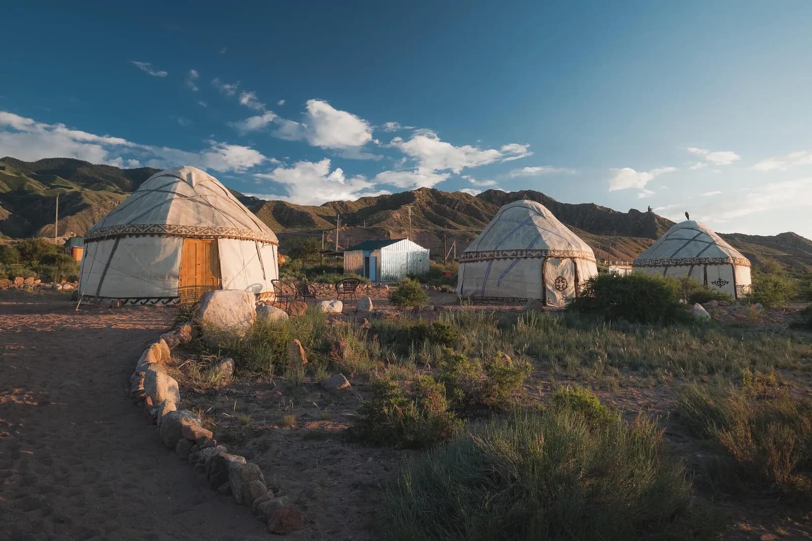
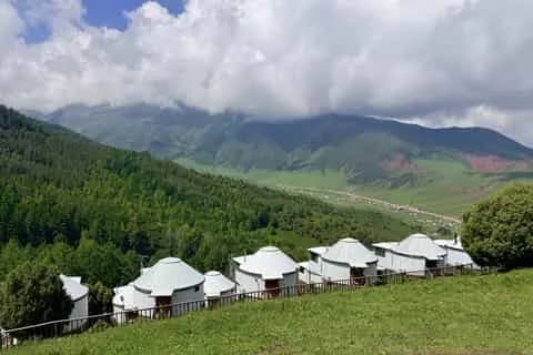
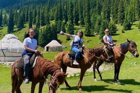
Match your base to your plan. Cholpon-Ata (or quieter Tamchy) is for beaches, comfort and the petroglyphs; Karakol is for canyons, culture and treks and has the best food and guesthouses; Bokonbaevo or Tamga put you among the south-shore sights and yurt culture. If you want to sleep out on the water, several jailoo yurt camps operate inland and above the south shore in summer — see our yurt-stay guide.
As for how long: two days is enough for a quick north-shore beach break from Bishkek. Four to five days lets you do the proper loop — ease in on the north shore, cross to Karakol, then work back along the south-shore canyons. Add two or three more if you want to trek up to Ala-Köl or Altyn-Arashan, which is where a week around the lake really pays off. Ready to plan? Browse Issyk-Köl tours or the wider lakes & nature trips to build your route.
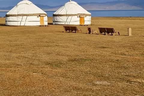
Stay lakeside: south-shore yurt camps like Almaluu, Bel-Tam and Feel Nomad.
Chat with a real person — free
Seif and the team reply on WhatsApp 24/7 — trip questions, custom plans and booking help.
Ask Seif on WhatsAppCommon questions
Why doesn't Lake Issyk-Köl freeze in winter?
Two factors keep it liquid year-round. The water is mildly saline, about 0.6% salt, which lowers its freezing point, and it is so deep — 668 m at maximum, 278 m average — that the vast body of water can't lose enough heat in a Kyrgyz winter to freeze through. Its name literally means "warm lake". Shallow bays and river mouths can ice over briefly in a hard cold snap, but the open lake never does.
North shore or south shore — which is better?
It depends what you want. The north shore is developed, paved and easy, with sandy beaches, resorts, the petroglyph field and the town of Cholpon-Ata — best for a comfortable beach break. The south shore is wilder and quieter, with red-rock canyons like Skazka and Jeti-Ögüz, eagle hunters and glacial gorges, but rougher roads and fewer facilities. If you have four or five days, do both as a loop rather than choosing.
How do I get to Issyk-Köl from Bishkek?
Marshrutkas (shared minibuses) leave Bishkek's Western Bus Station for the lake. Cholpon-Ata on the north shore is about 4–5 hours and 500–650 KGS (US$6–8); Karakol at the eastern end is 6–7 hours and 750–800 KGS by bus. A shared taxi is faster, and a private car to Cholpon-Ata runs roughly 4,500–7,000 KGS (US$55–85). Confirm current fares on the day, as prices drift.
Can you swim in Lake Issyk-Köl?
Yes. It's only mildly saline, with no jellyfish, no sharks and no tides, so nothing in it will harm you. The swimming season runs from late June to early September, and July–August is when the surface water reaches a comfortable 22–24°C. Outside those weeks the water is cold. The best sandy beaches are Kaji-Say and Tosor on the south shore; Bosteri and Cholpon-Ata have the most facilities.
How many days do you need at Issyk-Köl?
Two days covers a quick north-shore beach trip from Bishkek. Four to five days is the sweet spot: it lets you loop the lake, easing in on the north shore, crossing to Karakol, then returning past the south-shore canyons. Add two or three more days if you want to trek up to Ala-Köl or Altyn-Arashan from Karakol, which is where a full week around the lake really earns its keep.
What are the must-see sights around the lake?
On the north shore, the Cholpon-Ata petroglyph field and the lakeside Ruh Ordo cultural park. On the south shore, Skazka (Fairytale) Canyon's red sandstone spires, the Jeti-Ögüz "Seven Bulls" cliffs, and the Barskoon waterfalls. Around Bokonbaevo you can watch eagle hunters and yurt-builders. From Karakol at the eastern end, the alpine treks to Ala-Köl lake and the Altyn-Arashan hot springs are the highlights.
How do you get around the lake once you're there?
Marshrutkas run frequently along the paved north shore and leave from bazaars when full; shared taxis are faster. The south shore has patchier gravel roads and thinner services that dry up after mid-afternoon, so hiring a car and driver for a day or two is the practical way to reach the spread-out canyons. The full ring road is about 360 km, and cyclists tour it in four to seven days.
Is Karakol part of Issyk-Köl?
Yes — Karakol is the main town at the lake's far eastern tip and the usual base for the surrounding mountains. It has a wooden Orthodox cathedral, a Dungan mosque, the best guesthouses and food on the lake, and the trailheads for the Ala-Köl and Altyn-Arashan treks. Most travellers doing the full loop finish, or start, in Karakol before heading up into the Terskey Ala-Too.
When are the World Nomad Games at Issyk-Köl?
The sixth World Nomad Games run from 31 August to 6 September 2026, opening in Bishkek with main events around Lake Issyk-Köl and a cultural festival at the Kyrchyn jailoo. Cholpon-Ata's hippodrome hosted the first three editions in 2014, 2016 and 2018, so the games are returning to their original home after being staged in Turkey (2022) and Kazakhstan (2024).
Book it on This is Kyrgyzstan
Turn this guide into a trip
Kyrgyzstan's bestsellers
The experiences travelers book most, across the country
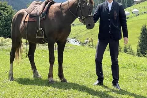
Attractions in this guide
Keep reading
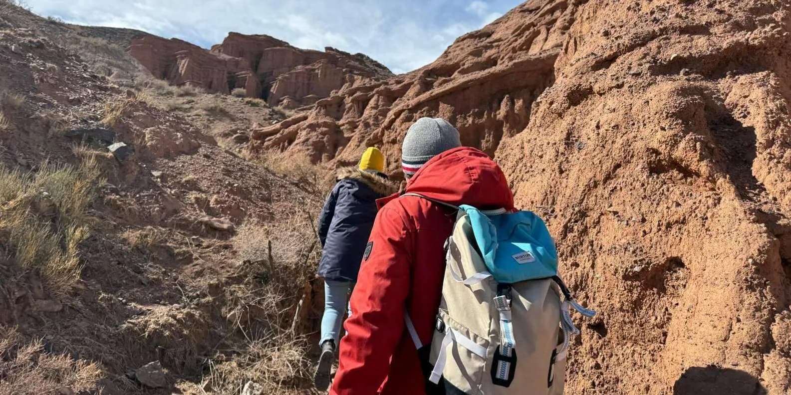
Issyk-Köl: North Shore vs South Shore
Which side of Lake Issyk-Köl to choose — the developed, beachy north shore around Cholpon-Ata, or the wild, scenic south with Skazka Canyon, Jeti-Ögüz and Barskoon.
By TiK Editors7 min read
Karakol Animal Market: Sunday Mal Bazaar Guide
Karakol's Sunday livestock market runs from dawn to about 10am on the town's northeast edge. What you'll see, how to get there and market etiquette.
By TiK Editors7 min read
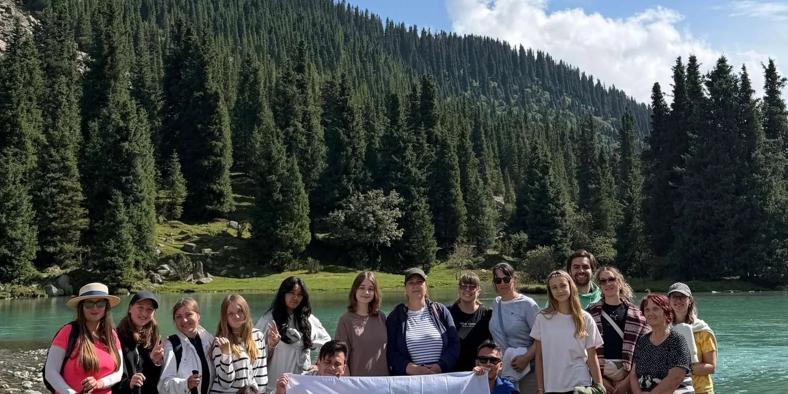
Song-Köl vs Issyk-Köl: Which Lake to Visit?
Song-Köl is a remote summer yurt lake at 3,016 m; Issyk-Köl a huge year-round resort lake. How they compare — and why you should do both.
By TiK Editors7 min read