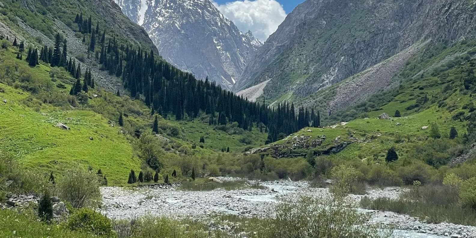
 Image via GetYourGuide
Khan Tengri: The Marble Pyramid Peak (2026)
Khan Tengri, the ~7,010 m marble pyramid of the eastern Tian Shan: the base-camp trek, the heli flight, Merzbacher Lake, the border permit and who climbs it.
Book it on This is Kyrgyzstan
Karakol · Turn this guide into a trip
Khan Tengri is the marble-capped pyramid that anchors the far-eastern Tian Shan, on Kyrgyzstan's border with Kazakhstan near the point where China meets both. Its rock summit stands at about 6,995 m; counting the permanent ice cap on top, climbers usually credit it with roughly 7,010 m, which is why it is treated as a 7,000er. Almost nobody who searches for it will stand on that summit. Most people who reach the mountain do so the sane way — a trek or a helicopter flight to base camp on the South Inylchek glacier — and only serious mountaineers, on expeditions of four to six weeks, attempt the top. Everyone who goes needs a border-zone permit.
This guide covers both sides of it: the trophy peak that pulls people in, and the realistic, non-technical way to actually see it.
The mountain, and the "blood mountain" name
Khan Tengri means "Lord of the Sky" in Turkic, and the peak earns the title. Its older Kyrgyz and Kazakh name, Kan-Too (Kan-Tau), translates as "mountain of blood," and that comes from what the summit does at dusk. The top of the pyramid is capped with pink and white marble, and when the low evening sun strikes it the whole peak flushes deep red, as if lit from inside. It is one of the most distinctive mountain silhouettes in Central Asia: a near-perfect triangle of rock and ice standing clear of everything around it.
It is not the highest mountain in Kyrgyzstan. That is Jengish Chokusu (Peak Pobeda, or Victory) at 7,439 m, a broader, colder and far deadlier massif a short distance to the south. Nor is it climbed as often as Lenin Peak (7,134 m) over on the Pamir side. But its shape makes Khan Tengri the one every photographer wants, and the one every ambitious alpinist in the region eventually looks at.
Both giants rise from the same river of ice. The South Inylchek (Engilchek) glacier, cited officially as one of the longest glaciers outside the polar regions, grinds down a remote valley in the eastern corner of Issyk-Kul oblast. Khan Tengri sits on its north side; Pobeda closes the head of the valley. This is genuine wilderness — no villages, no roads, no phone signal, days from the nearest town.
At a glance
| Altitude | Rock summit ~6,995 m; ~7,010 m counting its ice cap |
| Region | Central Tian Shan, eastern Issyk-Kul oblast, on the Kazakhstan border near the China tripoint |
| How to experience it | South Inylchek base-camp trek, a scenic helicopter flight, or a full climbing expedition |
| Permit | Border-zone permit required (Inylchek / Khan Tengri zone); arrange at least two weeks ahead |
| Season | July to August — a very short window |
How most travellers actually experience it
Unless you are an experienced alpinist, you experience Khan Tengri from base camp, not from the summit — and there is no shame in that. The view of the north face from the South Inylchek glacier is the reason most people come, and it is extraordinary. There are two realistic ways in.
| Way in | Who it suits | Roughly how long | What it needs |
|---|---|---|---|
| Base-camp trek | Fit trekkers with no technical climbing | 6–9 days return from Karakol | Permit, guided/supported logistics, tent, high-altitude kit |
| Helicopter to base camp | Short on time, deeper pockets | A day trip or an overnight | Permit, operator booking, a weather window |
| Full expedition | Experienced mountaineers only | 4–6 weeks | Permit, expedition operator, technical skill, altitude insurance |
The trek follows the glacier up to the seasonal base camp at the foot of the mountain; the helicopter does the same leg in minutes but depends entirely on the weather holding. Both put you at high altitude quickly and both need the same paperwork.
South Inylchek base camp and the glacier
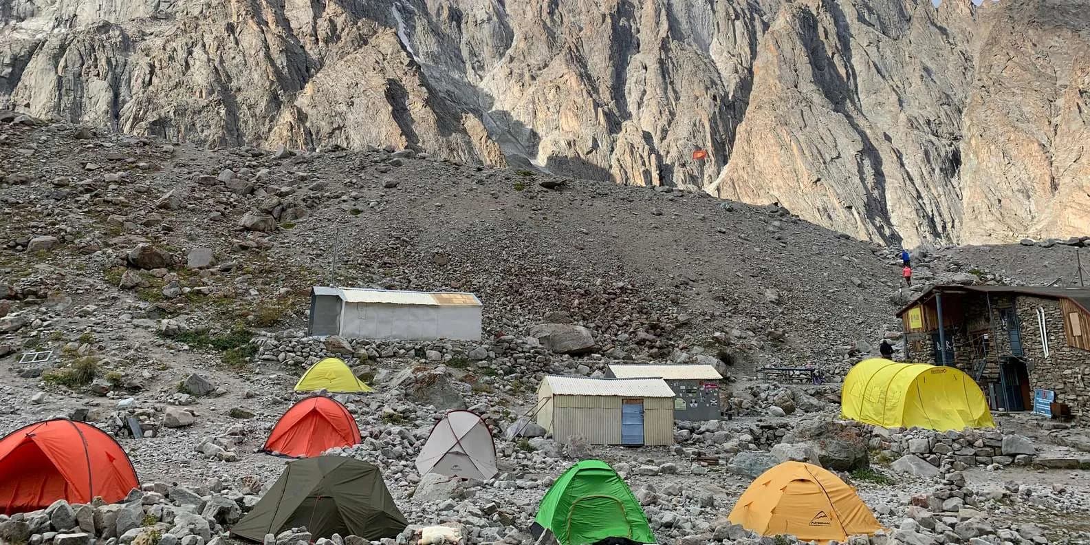
The base camp is a cluster of tents pitched on the moraine at the foot of Khan Tengri's north face, at roughly 4,000 m (confirm the exact figure with your operator). It runs only in the short summer climbing season, staffed and supplied by the same mountaineering companies that run the expeditions — Ak-Sai Travel and Central Asia Travel are the long-established names. From here trekkers get the classic head-on view of the marble pyramid, day-walk short distances onto the glacier, and watch roped teams set off for the high camps.
Do not underestimate it because you are "only" walking to base camp. You are on a live glacier, exposed to sudden weather, at an altitude where headaches and broken sleep are normal and worse is possible. Read up on altitude sickness in Kyrgyzstan before you commit, and build acclimatisation into the plan.
Merzbacher Lake, the lake that empties itself
The strangest sight in the valley is a lake that vanishes. Merzbacher Lake sits trapped between the North and South Inylchek glaciers, dammed by the ice itself. Each summer, usually once, that ice dam fails and the lake drains in a glacial lake outburst flood — dropping metres in a day and sending a surge of water and floating bergs down the Inylchek river. Then the ice reseals and the lake slowly fills again. It is named after Gottfried Merzbacher, the German geographer who explored the massif in the early 1900s.
The lake lies on the base-camp trek, so trekkers pass it, but catching the actual drainage is pure luck — the timing shifts year to year. Kyrgyzstan has one other lake that behaves this way, Kel-Suu in Naryn, which drained completely in 2019.
Who climbs Khan Tengri — and why it isn't for most
Khan Tengri is a serious mountaineering objective, not an adventurous hike with a rope. The standard lines climb from South Inylchek base camp up the west ridge (the "Marble Rib") through a series of fixed high camps, or from the north; either way you are dealing with technical snow and ice, crevasses, extreme altitude, savage cold and the notoriously violent storms of the central Tian Shan. Expeditions run four to six weeks precisely because you need that time to acclimatise, ferry loads and wait out weather.
The massif has a grim safety record, Pobeda especially, and Khan Tengri is one of the five 7,000 m peaks of the former Soviet Union that make up the "Snow Leopard" mountaineering award. Reputable operators run it as a fully supported expedition with base camp, helicopter logistics and fixed ropes, but it demands prior high-altitude experience and a policy that covers technical climbing and helicopter evacuation. If your background is trekking rather than alpinism, this is a peak to admire from below and return to after years of building skills. For a big Tian Shan challenge that stops short of that, the Ala-Köl trek out of Karakol or the Peak Lenin base camp trek are far more forgiving; see our overview of trekking in Kyrgyzstan for the range of options.
The border permit you cannot skip
The entire Inylchek, Khan Tengri, Merzbacher and Pobeda area sits inside a restricted frontier zone, so you need a border-zone permit to go there at all — trekker and climber alike. It is separate from your visa. Expect to pay around US$25 through an agency for the Inylchek permit (Visit Karakol is the usual issuer), with multi-zone permits running higher, roughly US$25–70 depending on the seller.
The critical thing is lead time: this is not issued on the spot. Apply at least two weeks ahead, ideally more, and arrange it before you leave home or on arrival in Bishkek. You carry the original paper permit with your passport; groups usually travel on one shared hard copy. Turning up in Karakol hoping to sort it that week does not work.
Getting there: Karakol, the Sary-Jaz road and Maida-Adyr
Access is through Karakol, the outdoor hub at the east end of Lake Issyk-Köl where every expedition and permit is organised. From town it is a long day in a 4WD up the Sary-Jaz valley, past the old mining settlement of Enilchek (Engilchek), to the roadhead and helipad at Maida-Adyr. From there the mountaineering companies fly helicopters over the glacier to South Inylchek base camp; trekkers instead walk in up the valley and the glacier over two to three days.
There is no public transport on any of this, no fuel, no shops and no signal beyond Karakol. Everything — transport, permit, guide, camp — is booked in advance through an operator in Karakol or Bishkek.
Season: July and August, and little else
The window is narrow. Base-camp operations, helicopters and climbing all run essentially in July and August, when the weather is at its most settled and the camp is staffed. Even then, fresh snow can fall on the high mountain in any month, and helicopter flights are cancelled for days at a time when cloud sits on the glacier. Come outside high summer and there is simply nothing running.
Is it worth it?
For the right traveller, yes — the north face of Khan Tengri from the Inylchek glacier is one of the great mountain views in Asia, and reaching it is a real expedition rather than a photo stop. But be honest with yourself. This is remote, cold, expensive and logistically heavy, it puts you at 4,000 m days from help, and it depends on a permit and a weather window. It rewards the well-prepared and punishes the casual. If that is you, start planning early and go through a proper operator.
Ready to look at what a supported trip involves? Browse trekking tours in Kyrgyzstan and talk to an operator about the Inylchek permit before you fix any dates.
Chat with a real person — free
Seif and the team reply on WhatsApp 24/7 — trip questions, custom plans and booking help.
Ask Seif on WhatsAppCommon questions
How high is Khan Tengri?
Khan Tengri's rock summit stands at about 6,995 m. Counting the permanent ice cap on top, climbers usually give it roughly 7,010 m, which is why it is classed as a 7,000 m peak. It is not the highest mountain in Kyrgyzstan — that is Jengish Chokusu (Peak Pobeda) at 7,439 m — but its sharp marble pyramid makes it the most recognisable and the most photographed.
Can ordinary travellers visit Khan Tengri without climbing it?
Yes. Most people who reach Khan Tengri never touch the summit. They trek or take a helicopter to the seasonal base camp on the South Inylchek glacier, at around 4,000 m, for the classic view of the north face. The base-camp trek is a serious multi-day glacier walk with no technical climbing, and the helicopter does the same leg in minutes when the weather allows.
Do I need a permit to go to Khan Tengri or Inylchek?
Yes. The whole Inylchek, Khan Tengri, Merzbacher and Pobeda area lies in a restricted border zone, so trekkers and climbers both need a border-zone permit, separate from your visa. It costs around US$25 through an agency for the Inylchek zone, with multi-zone permits higher. Apply at least two weeks ahead — it is not issued on the spot — and carry the original paper permit with your passport.
Why is Khan Tengri called the "blood mountain"?
Its Kyrgyz and Kazakh name, Kan-Too or Kan-Tau, means "mountain of blood." The summit pyramid is capped with pink and white marble, and at sunset the low light turns the whole peak deep red, as if it is glowing from within. The Turkic name Khan Tengri, "Lord of the Sky," is the other name in common use.
What is Merzbacher Lake and why is it famous?
Merzbacher Lake is an ice-dammed lake wedged between the North and South Inylchek glaciers. Once each summer the ice dam fails and the lake drains catastrophically in a glacial lake outburst flood, dropping metres in a day before slowly refilling. It sits on the base-camp trek, though catching the actual drainage is luck, as the timing changes year to year. It is named after geographer Gottfried Merzbacher.
How hard is it to climb Khan Tengri?
Very hard, and for experienced mountaineers only. The standard routes from South Inylchek base camp involve technical snow and ice, fixed high camps, crevasses, extreme altitude and the violent storms of the central Tian Shan. Expeditions run four to six weeks to allow acclimatisation and weather windows. It demands prior high-altitude climbing experience and is not a step up from trekking.
When is the season for Khan Tengri?
July and August, and effectively nothing else. That short window is when the weather is most settled, base camp is staffed and helicopters fly. Even then, fresh snow can hit the high mountain in any month and flights are grounded for days when cloud sits on the glacier. Outside high summer there are no operations at all in the Inylchek valley.
How do you get to Khan Tengri base camp?
Through Karakol, at the east end of Lake Issyk-Köl, where permits and transport are arranged. From town it is a long 4WD day up the Sary-Jaz valley past Enilchek town to the roadhead and helipad at Maida-Adyr. From there, operators fly helicopters over the glacier to South Inylchek base camp, or trekkers walk in over two to three days. There is no public transport and no phone signal beyond Karakol.
Is the Khan Tengri base-camp trek safe for a fit hiker?
It is doable for a fit, well-prepared trekker, but it is not casual. You are on a live glacier at around 4,000 m, days from a road, with no phone reception and no guaranteed mountain rescue. Altitude sickness is a real risk on a fast approach, and weather turns quickly. Go with a reputable operator, build in acclimatisation, and carry insurance covering high altitude and helicopter evacuation.
Book it on This is Kyrgyzstan
Turn this guide into a trip
Kyrgyzstan's bestsellers
The experiences travelers book most, across the country
Keep reading
Self-Guided Treks in Kyrgyzstan: Routes & How-To
Yes, you can trek Kyrgyzstan without a guide. The best self-guided routes, the ones to skip, and the maps, water and safety logistics that make it work.
By TiK Editors12 min read
Uchitel Peak: Your First 4,000m Climb (2026)
Pik Uchitel (~4,400-4,600 m) in Ala-Archa is the classic first summit for fit hikers new to mountaineering: route, gear, season and acclimatisation.
By TiK Editors8 min read
Tian Shan Traverse: Bikepacking Kyrgyzstan
The Tian Shan Traverse is a self-supported, mostly off-road bikepacking route of about 1,000 km across the high Kyrgyz mountains. Here's how to plan it.
By TiK Editors9 min read