 Image via GetYourGuide
Alay Mountains Trek: Heights of Alay Guide
How to trek the Alay and Trans-Alay in Kyrgyzstan's deep south — the Heights of Alay loops, Sary-Mogol access from Osh, altitudes, permits and season.
Book it on This is Kyrgyzstan
Osh · Turn this guide into a trip
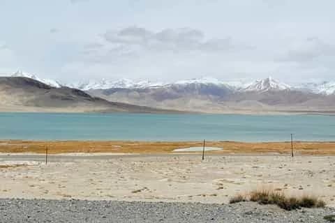

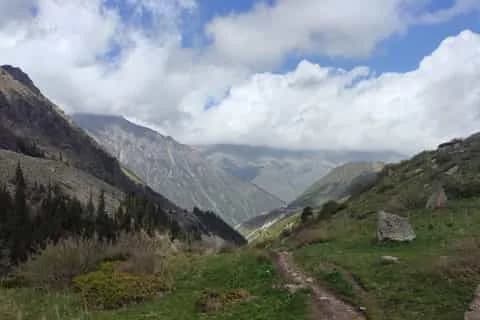
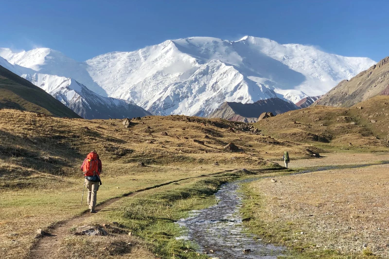
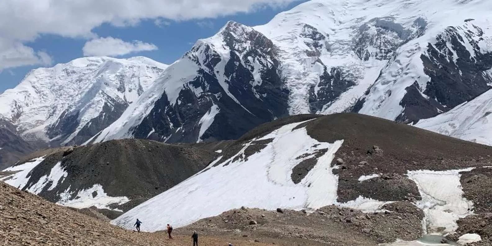
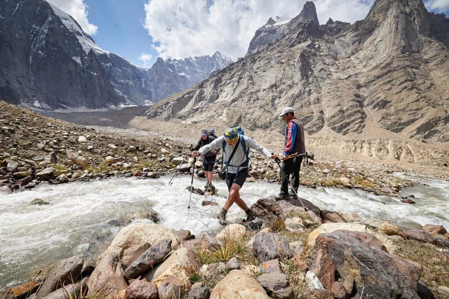
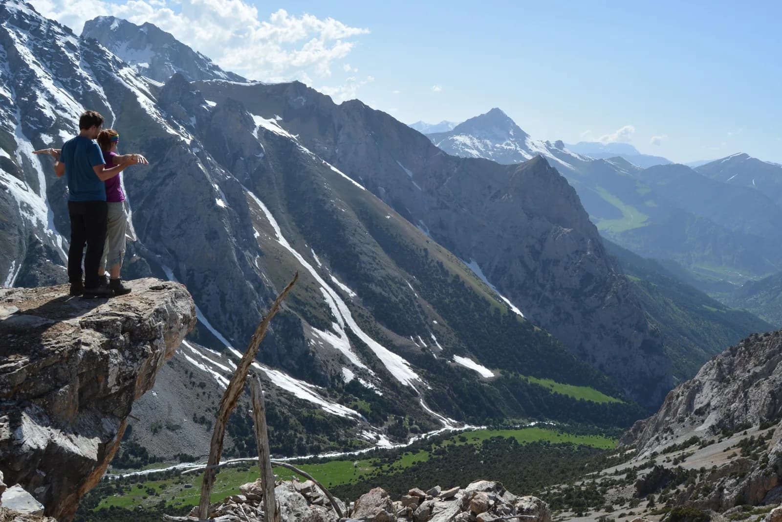
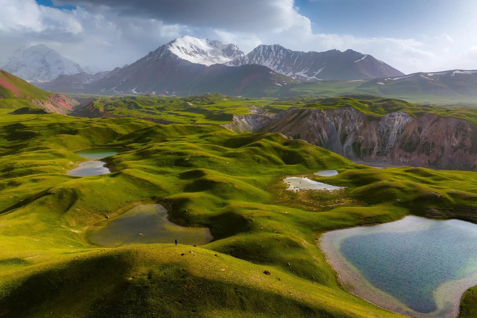
The Alay is the trek most people miss. While the crowds head for Ala-Köl above Karakol, the deep south of Kyrgyzstan holds week-long routes through the Alay and Trans-Alay ranges, walking under the 7,000-metre wall of Peak Lenin with almost nobody else on the trail. This is where you go for real remoteness, high pastures still grazed by Kyrgyz herders, and passes that top out well above 3,500 metres. It takes more effort to reach than the Karakol treks, and that is exactly the point.
This guide covers the multi-day walking — the "Heights of Alay" style loops and the routes around Sary-Mogol and Tulpar-Köl. If you specifically want the out-and-back walk to the foot of Peak Lenin, read the Peak Lenin base camp trek guide instead; the two pair naturally into one trip.
At a glance
| Region | Alay Valley & Trans-Alay, south of Osh |
| Typical trip | 4–7 days walking, 7–10 days door to door |
| Max altitude | passes roughly 3,500–4,200 m (sources differ by route) |
| Difficulty | hard — remote, high, real ascent days |
| Best months | July to early September |
| Access | Osh → Sary-Tash → Sary-Mogol (drive most of a day) |
| Permit | border-zone permit needed for stretches near Tajikistan |
Where the Alay actually is
The Alay Valley is a broad, high trough in Kyrgyzstan's far south, wedged between the Kyrgyz southern ranges and the Trans-Alay wall that forms the border with Tajikistan. Peak Lenin (about 7,134 m) sits on that wall. The valley floor itself is already high — the roadside villages of Sary-Tash and Sary-Mogol sit around 3,000–3,200 metres — so you start most treks already part-way acclimatised, and you feel it.
This is not a region you pass through by accident. It is a full day's drive south of Osh over the Taldyk and Chyyrchyk passes, and the reward for the effort is scenery on a Himalayan scale with a fraction of the footfall.
Getting there from Osh
Everything starts in Osh, the big southern city and transport hub. From there you drive the northern arm of the Pamir Highway — Osh to Sary-Tash is roughly 180 km of switchbacks and high passes, three to five hours depending on the road and weather. Sary-Mogol is another hour or so west along the valley.
Shared taxis and marshrutkas run from Osh towards Sary-Tash daily, but they are slow and you may need to change; most trekkers arrange a private transfer or a package that includes the drive, because it saves a fragmented day and gets you to the trailhead with your group and gear intact. Expect a private car for the Osh–Sary-Mogol leg to run into the low thousands of som per vehicle (roughly $40–80, confirm on the day).
The classic routes
There is no single "Alay trek" — there is a family of loops, usually arranged through the community-tourism office in Sary-Mogol. The common ones:
- Heights of Alay loop — a 5–7 day circuit up into the southern flanks with a run of high passes and camps on the jailoo (summer pasture). This is the signature route and the one most operators mean by "the Alay trek."
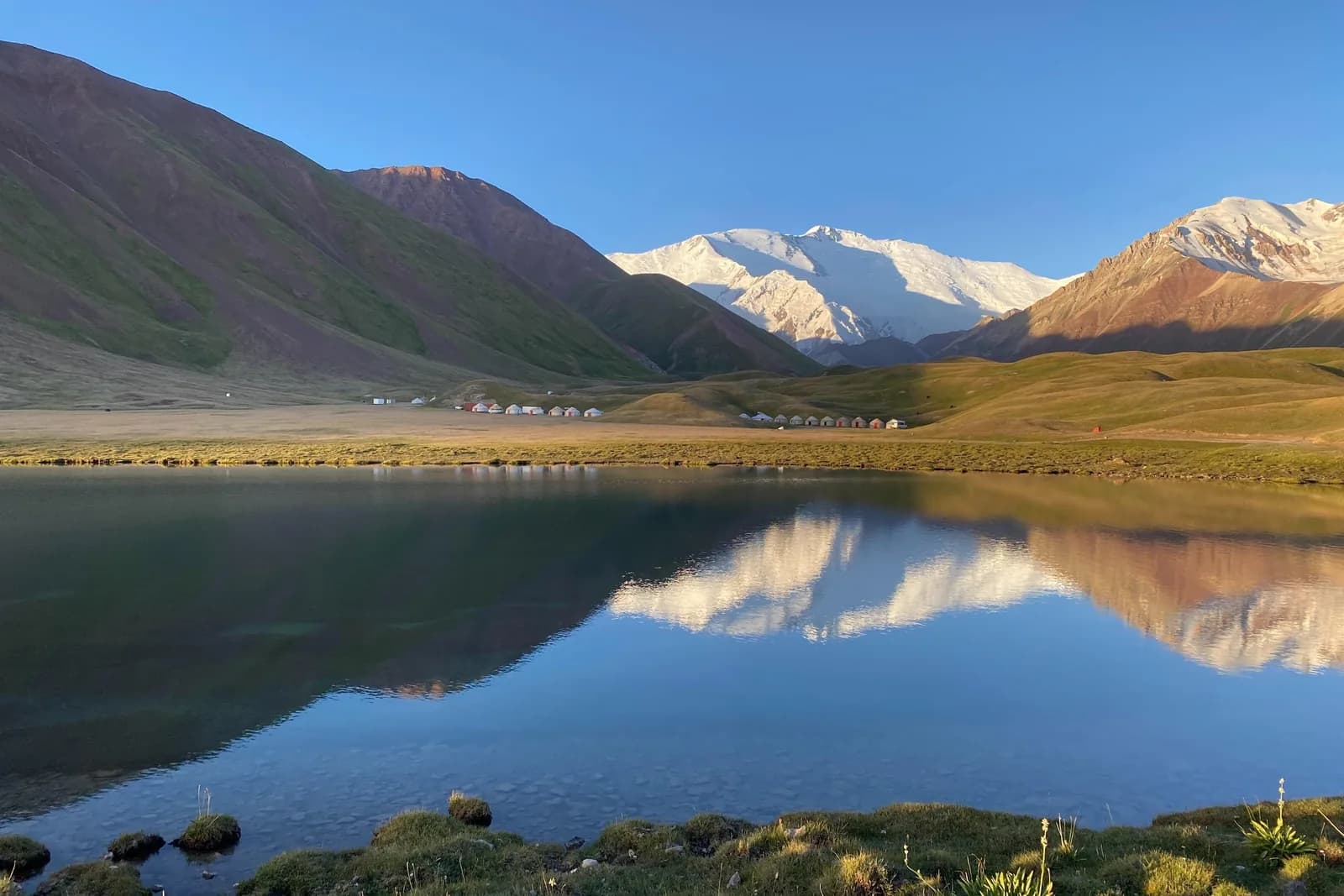
- Sary-Mogol to Tulpar-Köl — a shorter, very scenic approach to the lake basin under Peak Lenin, walkable in 2–3 days and easy to extend towards base camp.
- Jiptik Pass routes — longer traverses that cross the range and link valleys, for stronger walkers with time.
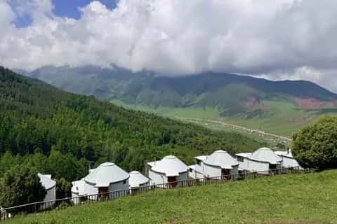
Most of these can be walked or done partly on horseback, and all use yurt camps or tents rather than huts.
A representative loop, day by day
Routes vary, but a typical Sary-Mogol–Tulpar-Köl–Alay outing looks like this:
| Day | Stage | Notes |
|---|---|---|
| 1 | Osh → Sary-Mogol | drive in, acclimatise, meet horses/guide |
| 2 | Sary-Mogol → Tulpar-Köl | walk or ride up to the lake basin (~3,500 m) |
| 3 | Tulpar-Köl → Peak Lenin viewpoint | up towards base camp / Traveller's Pass, big views |
| 4 | High camp → over a pass | the hard day; a pass around 3,900–4,200 m |
| 5 | Descent to jailoo camp | long descent, pasture camps |
| 6 | Out to Sary-Mogol → Osh | walk out and drive back |
Treat the numbers as a shape, not a promise — your guide sets the exact line by snow and group fitness.
Altitude, and taking it seriously
You start high and go higher, so this is a trek where altitude matters. Sleeping above 3,000 metres from night one, then crossing passes near or above 4,000, is enough to make anyone who rushed the approach feel wretched. Build in an acclimatisation day, walk slowly, drink more than feels necessary, and know the warning signs. Our altitude sickness in Kyrgyzstan guide covers what to watch for; the short version is that if symptoms get worse, you go down. There is no road-head rescue up here, so prevention is the whole game.
Permits
Parts of the Alay and the ground near Peak Lenin sit inside the border zone with Tajikistan, which means you need a border-zone permit for some routes. It is arranged in advance — you cannot buy it at the trailhead — and any decent operator or the Sary-Mogol CBT will sort it as part of the booking, given a passport copy and your dates. Read the border-zone permit guide and raise it with your operator at least a week or two ahead, because turning up without one means being turned back at a checkpoint.
Practicalities
Sary-Mogol is the base. The community-tourism office there arranges guides, horses, transfers, homestays and the permit, and the homestays are the warm, filling, slightly random affairs you find across rural Kyrgyzstan. Come fully self-sufficient for the trail: nights are cold even in July, there is no phone signal once you leave the valley, and no shops. This is proper wilderness trekking, and it is best done guided both for the route-finding and because the guide is the person who arranged your permit and your horses.
Is it worth it?
If you have already done the Karakol treks and want somewhere emptier and grander, yes, without hesitation. If it is your first trek in Kyrgyzstan and you are short on time, the Alay is a big commitment for what it asks in travel days — Ala-Köl or Song-Köl give you more for less effort. But for the walk under Peak Lenin, with the Trans-Alay glittering above empty pastures and hardly another traveller in sight, the south rewards everyone who makes the trip.
One last piece of planning: the Alay works best combined with the wider south. Most people fly or drive into Osh, spend a day in the city and its bazaar, then drive down to Sary-Mogol for the trek and come back out the same way. If you have longer, the northern Pamir Highway continues past Sary-Tash towards the Tajik border and the Kyzyl-Art pass, so a longer overland trip can bolt the Alay trek onto a Pamir road journey. Either way, budget a rest day in Osh at the end — after a week at altitude, a hot shower and a plate of the south's famous plov feel like a reward you have properly earned.
Ready to plan it? Browse our trekking tours and pair the Alay with a couple of days in Osh at either end.
Browse southern rides on our horse treks page, and yurt stays across the country.
Book it: the Sary-Mogol to Tulpar-Köl & Lenin Peak ride or the Alay Valley 3-day ride, staying at Tulpar-Köl yurt camp.
Chat with a real person — free
Seif and the team reply on WhatsApp 24/7 — trip questions, custom plans and booking help.
Ask Seif on WhatsAppCommon questions
How many days do you need for an Alay trek?
Plan 7–10 days door to door. The walking itself is usually 4–7 days on the classic Heights of Alay or Sary-Mogol–Tulpar-Köl loops, but you need most of a day to drive in from Osh to Sary-Tash and Sary-Mogol, a day to acclimatise, and a day to drive back. Shorter 2–3 day outings to Tulpar-Köl are possible if time is tight.
How high are the passes on the Alay trek?
The passes generally top out somewhere between about 3,500 and 4,200 metres depending on the route, and sources differ on exact heights. You also sleep high throughout — the valley villages sit around 3,000–3,200 m — so the whole trek is a high-altitude undertaking. Acclimatise before the first big pass and treat any worsening symptoms as a reason to descend.
How do I get to the Alay from Osh?
Drive south from Osh on the northern Pamir Highway to Sary-Tash (roughly 180 km, 3–5 hours over high passes), then west along the valley to Sary-Mogol. Shared taxis and marshrutkas run but are slow and may need a change, so most trekkers arrange a private transfer or a package that includes the drive to the trailhead.
Do I need a permit to trek in the Alay?
Some routes do. The Alay borders Tajikistan and stretches near Peak Lenin and the frontier fall inside Kyrgyzstan's border zone, which requires a permit arranged in advance. Your operator or the Sary-Mogol community-tourism office sorts it with a passport copy and your dates. Arrange it a week or two ahead — you cannot buy it at the trailhead.
When is the best time to trek the Alay?
July to early September. Snow lingers on the high passes into early summer and returns from mid-September, so the reliable window is short. July and August are warmest, though nights are cold at altitude year-round. Coming outside this window means real snow risk on the passes and is only for experienced, well-equipped parties with a guide.
What is the difference between the Alay trek and the Peak Lenin base camp trek?
The Peak Lenin base camp trek is mostly an out-and-back walk from Sary-Mogol to the base camp under the 7,134 m peak. The Alay trek is a multi-day loop through the wider range with a series of passes. They share the same access and pair naturally — many people combine a base-camp visit with a longer Alay circuit into one southern trip.
Can you do the Alay trek independently?
It is strongly guided territory. The routes are remote with no signal, no shops and serious altitude, and some need a border permit that only an operator or the CBT can arrange in advance. Even strong, experienced trekkers usually take a local guide and horses through the Sary-Mogol community-tourism office, both for route-finding and logistics.
Where do you sleep on the Alay trek?
In yurt camps and tents on the jailoo (summer pastures), with homestays in Sary-Mogol at either end of the trek. There are no mountain huts. Come fully self-sufficient for warmth — nights are cold even in midsummer — and expect simple, hearty homestay meals in the village before and after the walk.
Is the Alay trek suitable for beginners?
Not really. It is high, remote and physically demanding, with long ascent days and passes above 3,500 metres, and the travel to reach it eats into a short trip. First-time trekkers in Kyrgyzstan usually do better on Ala-Köl above Karakol or a Song-Köl horse trek. Save the Alay for when you have altitude experience and time to spare.
Book it on This is Kyrgyzstan
Turn this guide into a trip



Kyrgyzstan's bestsellers
The experiences travelers book most, across the country
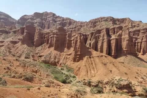
Keep reading
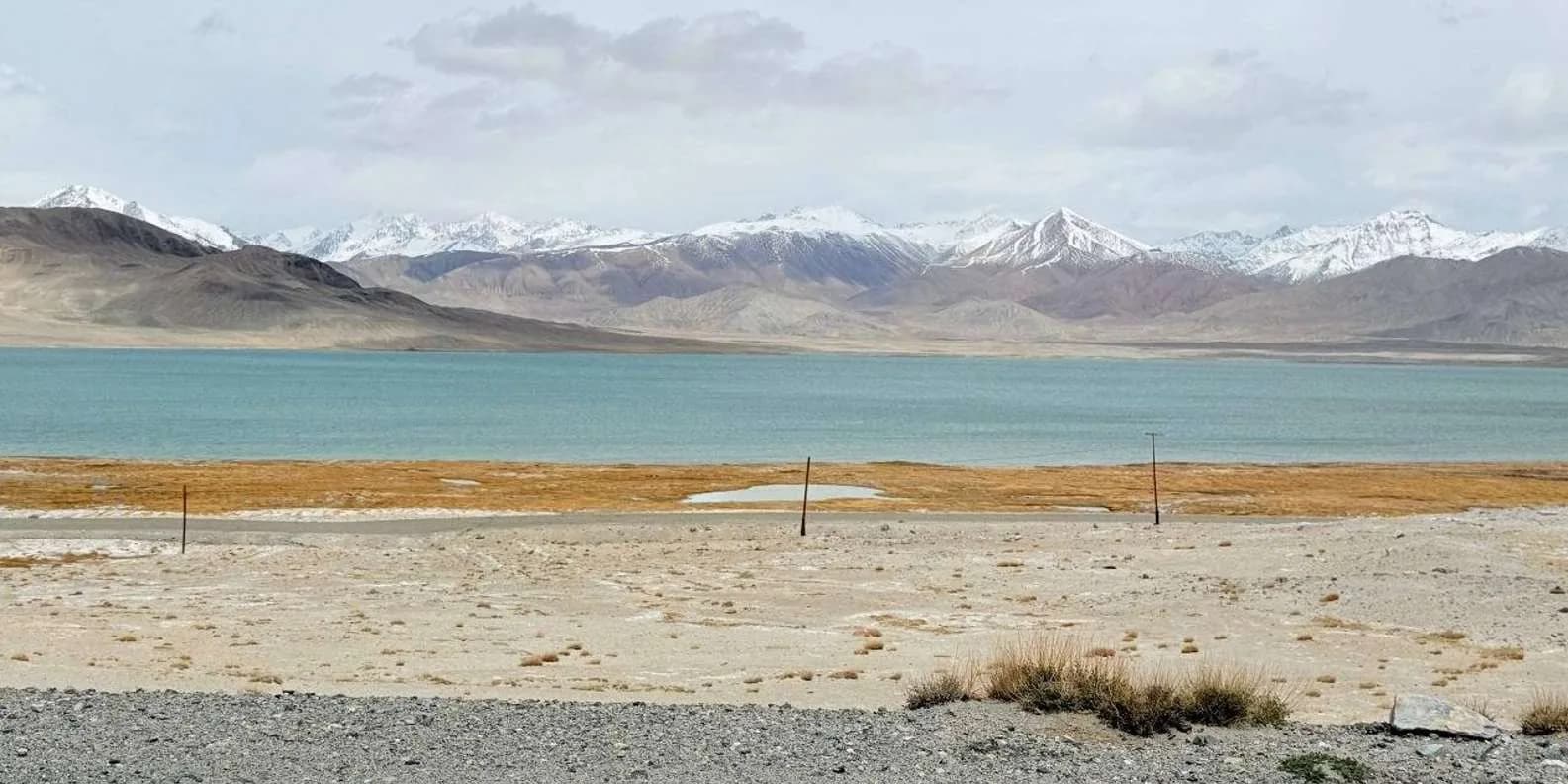
Tian Shan Traverse: Bikepacking Kyrgyzstan
The Tian Shan Traverse is a self-supported, mostly off-road bikepacking route of about 1,000 km across the high Kyrgyz mountains. Here's how to plan it.
By TiK Editors9 min read
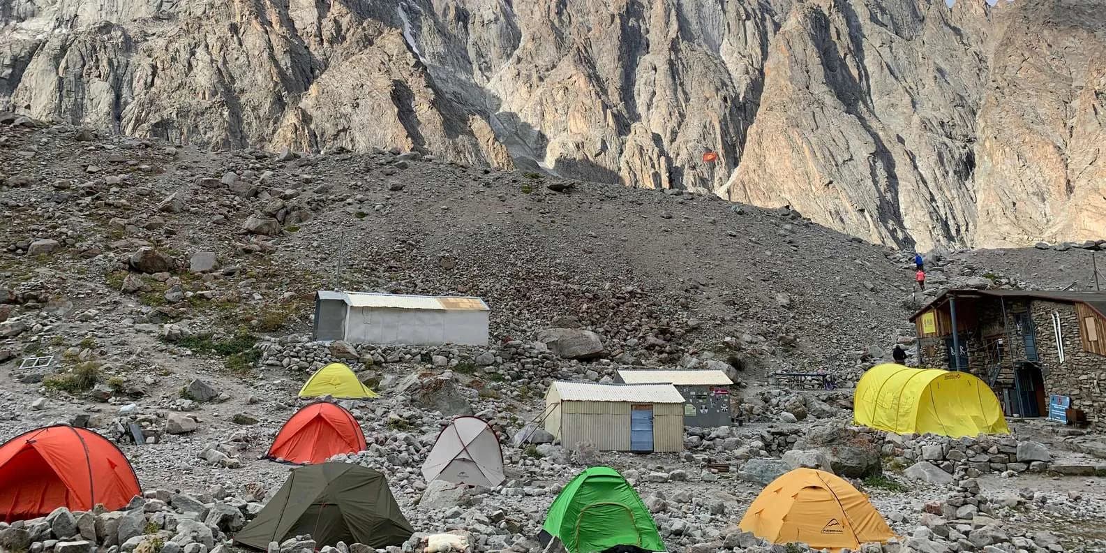
Uchitel Peak: Your First 4,000m Climb (2026)
Pik Uchitel (~4,400-4,600 m) in Ala-Archa is the classic first summit for fit hikers new to mountaineering: route, gear, season and acclimatisation.
By TiK Editors8 min read
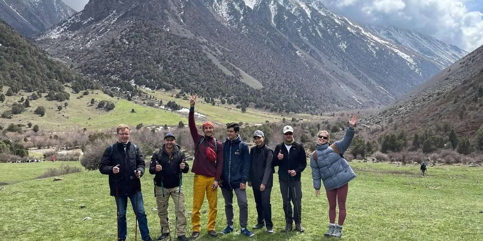
Self-Guided Treks in Kyrgyzstan: Routes & How-To
Yes, you can trek Kyrgyzstan without a guide. The best self-guided routes, the ones to skip, and the maps, water and safety logistics that make it work.
By TiK Editors12 min read