 Image via GetYourGuide
Konorchek Canyons: Bishkek Day-Trip Hike
A field of eroded red-rock spires in the Boom Gorge, reached on a half-day hike from Bishkek. Route, river crossing, timing and what to bring.
Book it on This is Kyrgyzstan
Bishkek · Turn this guide into a trip
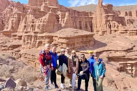
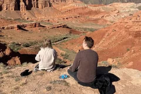
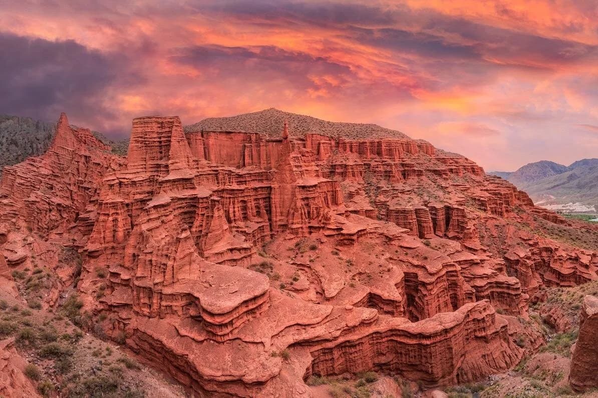
The Konorchek Canyons (Konorchok) are a badlands of eroded ochre-and-red rock towers tucked into a dry side valley off the Boom Gorge, roughly two to two and a half hours east of Bishkek on the road to Issyk-Köl. You don't drive into them. You reach the towers on a half-day hike: down from the road to the Chüy river, across it, then up a dry gravel canyon that opens into the spires. Most people do it as a day trip, and it pairs neatly with Burana Tower on the way out. Spring and autumn are the seasons to aim for; high summer bakes, and the narrow canyon floods fast after rain.
This is one of the more rewarding walks you can slot into a Bishkek base, precisely because it takes a bit of effort. There is no car park at the rocks, no ticket booth, no snack stand. You earn the canyon, and most days you'll have long stretches of it to yourself.
What you actually see
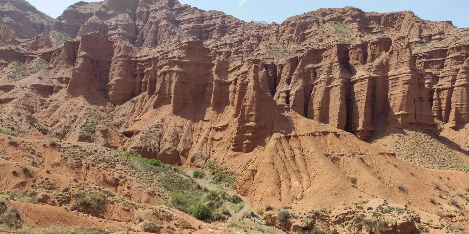
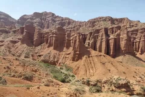
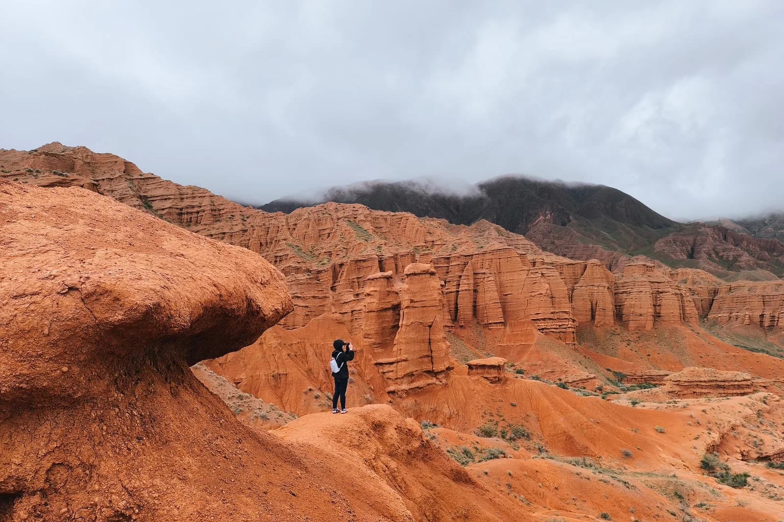
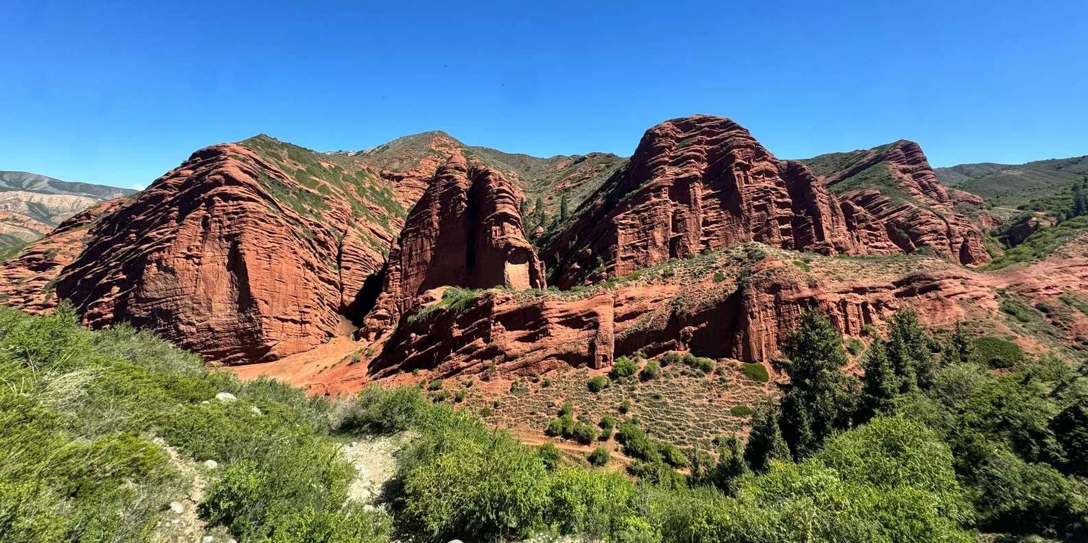
Konorchek is erosion theatre. Rare rain, meltwater and wind have cut soft red sandstone and clay into a maze of fins, hoodoos and free-standing pillars, banded in rust, ochre and pale grey. The colours shift through the day and are at their most saturated in low morning and late-afternoon light. The signature landmark is a tall, slender isolated spire that most walkers call "the chimney" (some say the factory pipe) — a thin tower standing clear of the canyon wall, and the natural turn-around point and photo stop.
If you've seen Skazka (Fairytale) Canyon on Issyk-Köl's south shore, the rock is a close cousin: the same red sandstone badlands, weathered into shapes the eye reads as castles and animals. The difference is scale and access. Skazka is a 30-minute amble beside the lake road; Konorchek is a proper canyon system you walk up into, taller-walled, wilder, and with none of the roadside convenience. That trade — more effort, more reward — is the whole point of coming here.
Where it is and how the hike works
The canyons sit on the north side of the Boom Gorge (Boom Canyon), the dramatic defile where the Chüy river and the Bishkek–Balykchy road and railway squeeze between the Kyrgyz and Kungey Ala-Too ranges. The trailhead is near the village of Kok-Moinok, on the Bishkek side of Balykchy.
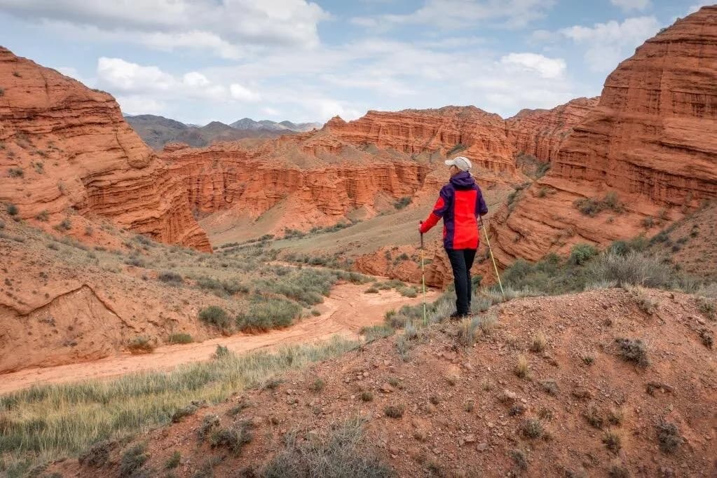
The walk has three phases. From the road you drop down a steep, loose path to the Chüy river on the valley floor. You cross the river — this is the crux, more on it below. Then you follow a dry side canyon and its gravel riverbed gently uphill, the walls closing in and reddening as you go, until the passage opens out among the main spires. You return the same way. Nothing is technical, but it is a full, exposed outing over uneven ground, not a stroll.
The river-crossing caveat
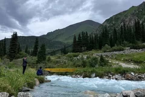
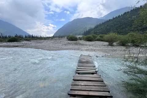
Don't underestimate the Chüy crossing. It is fed by snow and glacier melt, so it runs highest and fastest in late spring and early summer (roughly May to early July) and after rain — a channel that is shin-deep and easy in the cool of the morning can be thigh-deep and pushing by mid-afternoon on a hot day. There is sometimes a makeshift log or plank bridge, but it washes out and cannot be relied on; assume you may have to wade. Cross early, unclip your pack's hip belt, face upstream, use poles or link arms, keep your shoes on, and look for a wide braided section rather than one deep channel. If the water is high and brown, turn back — the canyon isn't worth a swim in a cold, fast river. This is why many walkers deliberately come in autumn, when meltwater has dropped and the crossing is at its tamest.
Getting there
By car or taxi. Driving is the simplest option: head east out of Bishkek on the main Issyk-Köl road, through the Chüy valley and into the Boom Gorge, and stop at the trailhead near Kok-Moinok. Budget about 2 to 2.5 hours each way. A hired car with driver for the day is the usual arrangement and lets you combine the hike with Burana; agree the price and the wait time before you set off. See our notes on getting around Kyrgyzstan for how shared taxis and drivers work.
By train. The seasonal Bishkek–Balykchy train is the atmospheric way in — it trundles right through the Boom Gorge and stops at a small halt near the canyons (timetables list it around Konorchek/Kojomkul). Services are limited and mostly summer weekends, and the schedule changes year to year, so treat it as a booked mini-adventure rather than a turn-up-and-go option and confirm departure and return times before you commit; missing the one train back is a long problem.
By marshrutka. Any Balykchy- or Issyk-Köl-bound marshrutka from Bishkek's eastern bus station passes through the gorge and can, in principle, drop you near the trailhead, but you'll then be flagging a passing vehicle to get home, which is unreliable this far out. For a group, a private car is far less stressful.
Because it lies on the road east, Konorchek is one of the better active day trips from Bishkek and slots naturally into an Issyk-Köl run.
The hike, leg by leg
Times are rough guides for an averagely fit walker; they swell in heat and with photo stops. Confirm distances with your driver or guide on the day, as the exact trailhead and river conditions vary.
| Leg | Rough time | Terrain / difficulty |
|---|---|---|
| Bishkek → trailhead (drive) | 2–2.5 h | Paved road through the Boom Gorge; easy |
| Road down to the Chüy + crossing | 20–40 min | Steep, loose descent; the river is the crux |
| Up the dry canyon to the main spires | 1.5–2.5 h | Gravel riverbed, gentle gradient, occasional scramble |
| Explore the towers and "the chimney" | 30–60 min | Flat wandering; watch footing on soft ground |
| Return the same way | 2–3 h | Reverse of the above; recross the river |
All in, allow a full day from Bishkek and five to seven hours on your feet. It reads as moderate: no altitude drama and no exposure, but real distance, heat, loose ground and that river. Families with older children manage it in good conditions; it is not a buggy-and-flip-flops outing.
When to go
Aim for late April to June or September to mid-October. Spring brings green fringes, cooler walking and, in a good year, the clearest air; autumn brings warm rock, low light and — crucially — a calmer river as the melt eases off. The tension to plan around is that the best temperatures (late spring) overlap with the highest water, while the easiest crossing (autumn) comes as the days shorten, so start early either way.
Summer (July–August) is the hard sell. The canyon is a treeless, south-facing sun-trap with no shade and no water; midday temperatures on the rock are punishing, and the Chüy valley is prone to sudden mudflows (sel) and flash floods after summer storms. A narrow dry canyon is exactly the wrong place to be when a thunderhead builds upstream. If you must go in summer, walk at dawn, watch the sky, and get out if rain threatens. Winter is doable on a clear, dry day for the scenery, but the river crossing turns miserable and the road through the gorge can close with snow or avalanche — not a casual choice.
What to bring
Pack for a desert walk with a cold river in the middle. The essentials: far more water than feels necessary (there is none on the route — carry two to three litres per person), high-factor sunscreen, a brimmed hat and sunglasses, and sturdy, closed shoes with grip for loose gravel and the crossing. Add layers for a cool morning start, a light waterproof, snacks or lunch, and something to carry litter out in. Trekking poles genuinely help on the descent and in the water. Download an offline map — there's no reliable phone signal in the canyon, so tell someone your plan and expected return, and don't rely on your phone for the way back.
Guided or independent
The route is unmarked but broadly intuitive once you're in the canyon, and confident hikers do it independently. The two arguments for a guide are the river and the logistics: a guide or driver who knows the current crossing, the day's water level and the trailhead removes the two things most likely to derail your trip, and a driver waiting at the road means you're not gambling on a lift home. If you're new to Kyrgyzstan, unsure of the water, or short on time, a guided day trip is money well spent; the marketplace and Bishkek agencies run Konorchek both on its own and bundled with Burana. Solo and first-time visitors may also want our wider read on is Kyrgyzstan safe before heading out of the city.
Making a day of it: Konorchek + Burana
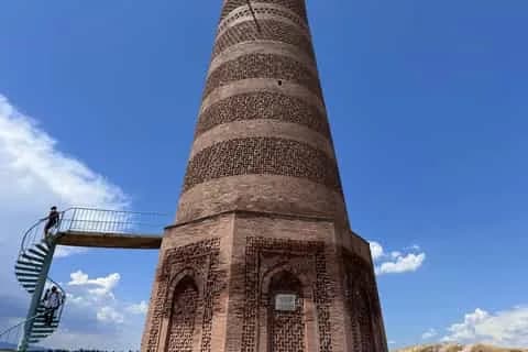
The classic pairing is Konorchek with the Burana Tower — the 11th-century minaret and open-air balbal field of ancient Balasagun, an easy stop in the Chüy valley on the way out from the capital. Do Burana first, when it's cool and you're fresh, then push on to the gorge for the hike, or reverse it and finish at Burana in soft evening light. Either way it's a long but very full day out of the city; base yourself in the capital and read our Bishkek city guide for where to stay, eat and hire a driver.
Ready to build it into a trip? Browse tours and drivers running out of the capital on our Bishkek destination page, and pack for sun, gravel and a cold river.
Chat with a real person — free
Seif and the team reply on WhatsApp 24/7 — trip questions, custom plans and booking help.
Ask Seif on WhatsAppCommon questions
How long is the Konorchek Canyons hike?
Plan on roughly five to seven hours on foot round trip from the road, plus the two-to-two-and-a-half-hour drive each way from Bishkek, so it fills a full day. The walk drops to the Chüy river, crosses it, then climbs a dry canyon to the main spires before returning the same way. Times stretch in heat and with photo stops, so start early and confirm the route with your driver or guide.
How hard is the walk?
Moderate. There's no altitude problem and no exposure, but it's a long, exposed outing over loose gravel and a dry riverbed, with a steep descent to the valley floor and a river to wade. The crux is the crossing, not the climbing. Reasonably fit walkers and older children manage it in good conditions; it isn't suitable in sandals or for anyone unsteady on rough ground.
Do I have to cross a river?
Yes. The trail crosses the snow- and glacier-fed Chüy river, which runs highest and fastest in late spring and early summer and after rain. A makeshift bridge sometimes exists but washes out, so assume you'll wade. Cross early in the morning when levels are lowest, keep shoes on, face upstream and use poles. If the water is high and brown, turn back — it isn't worth the risk.
When is the best time to visit?
Late April to June and September to mid-October are best. Autumn gives the calmest river as meltwater eases, while spring is cooler and greener but comes with higher water. Avoid the July–August midday heat: the canyon has no shade or water and is prone to flash floods after storms. Winter is scenic on a dry day but the crossing is grim and the gorge road can close with snow.
How do I get to Konorchek from Bishkek?
Drive east on the Issyk-Köl road through the Boom Gorge to the trailhead near Kok-Moinok, about 2–2.5 hours. A hired car with driver is the easiest option and lets you add Burana Tower. The seasonal Bishkek–Balykchy train also stops at a small halt near the canyons, but services are limited and schedules change, so confirm times before relying on it.
Can I do it without a guide?
Yes, confident hikers do Konorchek independently — the canyon is unmarked but broadly intuitive once you're in it. The two things a guide or driver solves are the river crossing, where local knowledge of the day's water level matters, and the lift home. If you're unsure of the water, short on time or new to Kyrgyzstan, a guided day trip is well worth it and often bundles in Burana.
What should I bring?
Two to three litres of water per person (there's none on route), high-factor sunscreen, a hat and sunglasses, and sturdy closed shoes with grip for gravel and the crossing. Add layers for a cool start, a light waterproof, lunch, trekking poles and a bag for your litter. Download an offline map and tell someone your plan — there's no reliable phone signal in the canyon.
Is it safe to hike Konorchek?
It's safe for prepared walkers who respect two hazards: the river crossing and flash floods. The Chüy can rise fast on hot afternoons, and the narrow dry canyon channels sudden water after summer rain, so cross early, watch the sky and get out if a storm builds. Carry enough water against the heat, wear proper footwear on loose ground, and don't count on phone signal to bail you out.
Can I combine Konorchek with other sights?
Yes. Burana Tower, the 11th-century minaret and balbal field of old Balasagun, sits in the Chüy valley on the way out and is the classic pairing — do it first while you're fresh, then hike the canyon. Because Konorchek lies on the road to Issyk-Köl, it also slots neatly at the start of a lake trip, letting you hike in the morning and carry on east to Cholpon-Ata or Karakol afterwards.
Book it on This is Kyrgyzstan
Turn this guide into a trip
Kyrgyzstan's bestsellers
The experiences travelers book most, across the country
Attractions in this guide
Keep reading
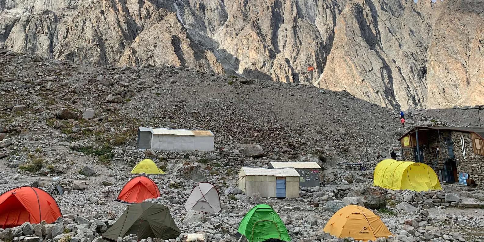
Uchitel Peak: Your First 4,000m Climb (2026)
Pik Uchitel (~4,400-4,600 m) in Ala-Archa is the classic first summit for fit hikers new to mountaineering: route, gear, season and acclimatisation.
By TiK Editors8 min read
Boz-Uchuk Lakes Trek from Jyrgalan (2026)
A moderate 2–3 day trek to a string of alpine lakes above Jyrgalan — quieter than Karakol's classics, with community yurts, horses and clear DMO rates.
By TiK Editors8 min read
Self-Guided Treks in Kyrgyzstan: Routes & How-To
Yes, you can trek Kyrgyzstan without a guide. The best self-guided routes, the ones to skip, and the maps, water and safety logistics that make it work.
By TiK Editors12 min read