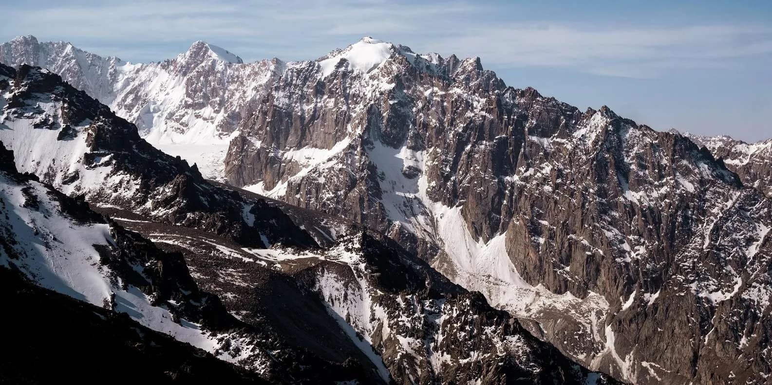
 Image via GetYourGuide
Trekking in Kyrgyzstan: Routes, Seasons & Costs
The complete trekking overview for Kyrgyzstan: the classic routes compared, when to go, altitude and AMS safety, permits, gear and real costs in som and USD.
Prenotala su This is Kyrgyzstan
Karakol · Trasforma questa guida in un viaggio
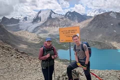
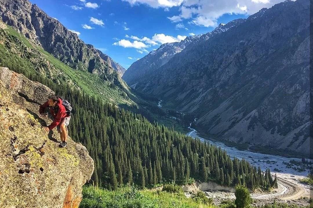
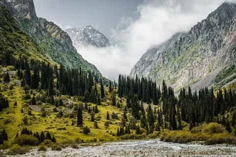
Kyrgyzstan is one of the best trekking countries on earth, and one of the least crowded. Over 90% of it is mountains, roughly 40% sits above 3,000 metres, and two great ranges, the Tian Shan and the Pamir-Alai, fill it with turquoise glacial lakes, high passes, wildflower meadows and shepherd valleys where you meet more horses than people. Add visa-free entry for most nationalities, low costs, and a network of local guides and yurt camps that puts real mountains within reach of ordinary walkers, and you have a place that rewards a first-timer and a hardened alpinist alike. This is the overview: the classic routes, when to go, what it costs, and how to stay safe up high.
Why Kyrgyzstan is a trekker's country
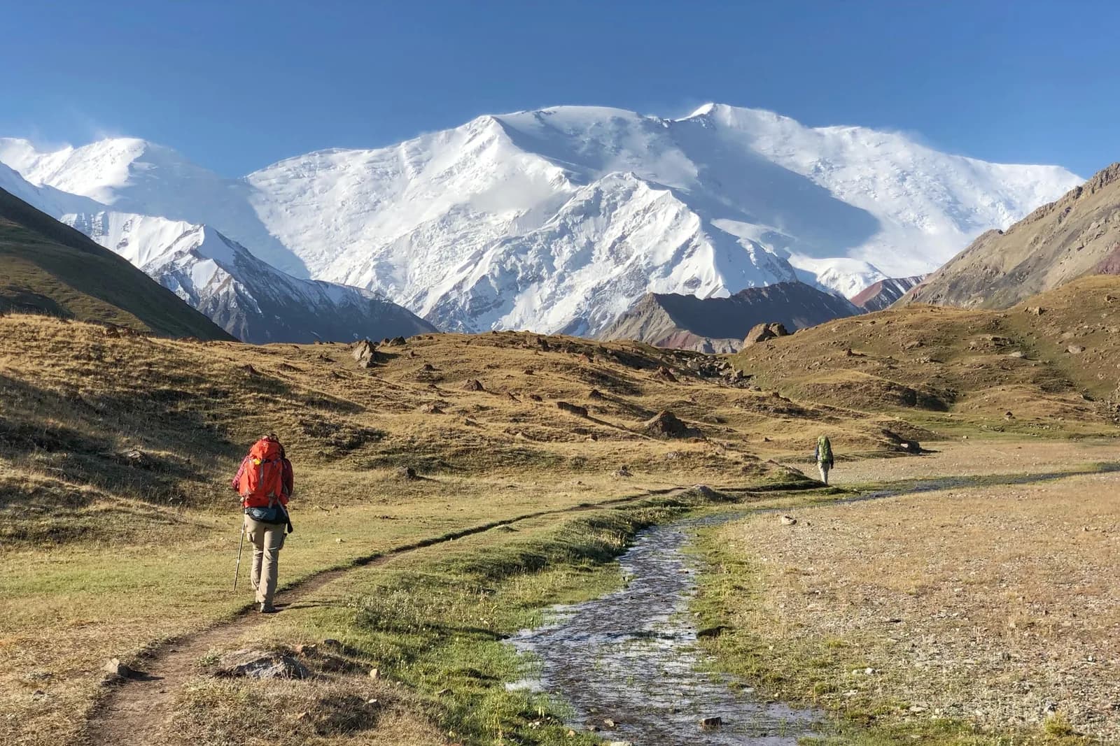
The scale is the first thing that lands. You can be at 800 metres in Bishkek at breakfast and camped above 3,000 metres by nightfall, which is exactly the appeal and exactly the danger. The Terskey Ala-Too above Karakol holds the country's signature walks; the central Tien Shan around Naryn hides remote canyon lakes; the Pamir-Alai in the far south throws up 4,000-metre passes with Lenin Peak (7,134 m) filling the horizon.
Access is unusually easy for mountains this wild. Local destination management organisations (DMOs) in Karakol and Jyrgalan have marked trails, GPX tracks, guides and yurt beds you can arrange in a day, so you do not need an expedition to reach genuinely serious terrain. That combination, big high mountains with a soft landing, is rare.
The classic treks at a glance
A handful of routes carry most of the traffic, and they make an ideal first trip. Altitudes are given as ranges where sources genuinely disagree; take the higher figure seriously when you plan.
| Trek | Days | Max altitude | Difficulty | Best months | Start town |
|---|---|---|---|---|---|
| Ala-Köl (lake + pass) | 2-4 | pass ~3,860-3,900 m | Hard | mid-Jul to mid-Sep | Karakol |
| Altyn-Arashan | 1-2 | ~2,400-2,600 m | Easy-moderate | Jun-Oct | Karakol / Ak-Suu |
| Jyrgalan loops (Boz-Uchuk, Keskenkija) | 3-7 | ~3,470-3,720 m | Moderate | Jun-Sep | Jyrgalan |
| Song-Köl (yurt & horse) | 2-3 | ~3,016 m | Easy-moderate | mid-Jun to mid-Sep | Kochkor / Kyzart |
| Köl-Suu (remote, permit) | 2-3 + drive | lake ~3,514 m | Moderate | Jul-Sep | Naryn / At-Bashy |
| Heights of Alay (south) | 4-8 | passes to ~4,300 m | Hard (high) | mid-Jun to early Sep | Sary-Mogol / Osh |
Ala-Köl: the signature trek
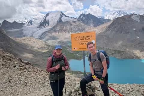
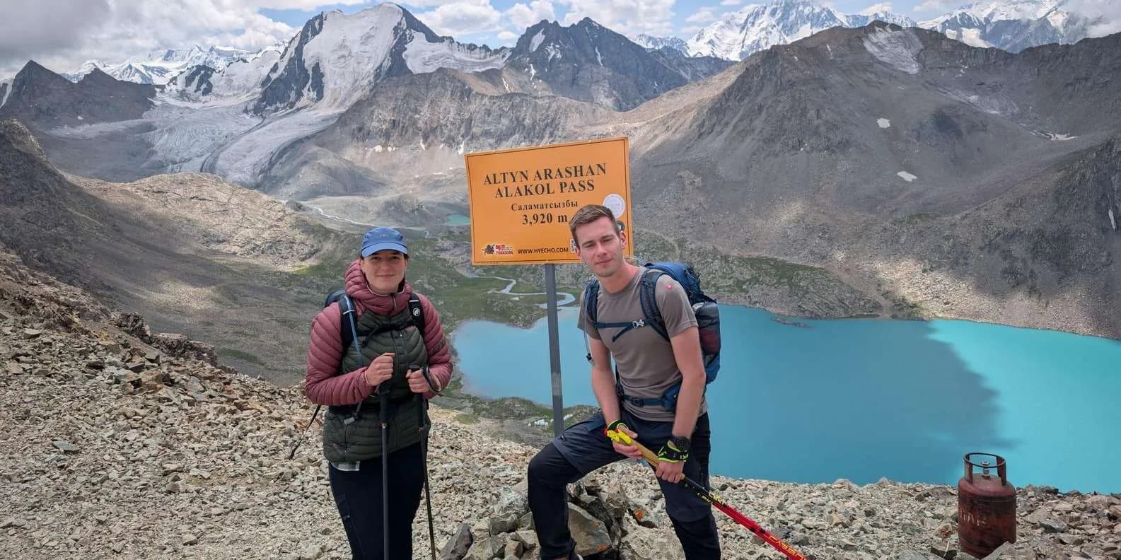
This is the walk most people come for, and it earns the reputation. From Karakol you climb the Karakol valley, camp near the Sirota bridge, then face the big day: a steep haul to Ala-Köl lake (about 3,530-3,560 m), a further climb to the Ala-Kul pass, and a long, loose scree descent into the Keldike valley to finish at the Altyn-Arashan hot springs. The pass is the high point and it is high, roughly 3,860-3,900 m depending on which source you trust, so never plan on it being lower. Total distance is 45-55 km over two to four days, with 250 som (plus 100 som per tent) collected at the Karakol National Park gate. Full route detail is in our Ala-Köl trek guide.
Honest word on difficulty: despite its popularity this is not a beginner's walk. You gain over 1,100 metres on the pass day, most of it above 3,000 metres, on legs that often arrived from Bishkek 48 hours earlier. Fit hikers who have done Alpine hut-to-hut walking manage; people whose longest previous outing is a day hike frequently struggle.
Altyn-Arashan: hot springs at the end
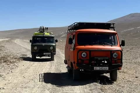
The gentlest way into these mountains. Altyn-Arashan ("golden spa") is a wide green valley about 20 km southeast of Karakol, reached on foot or by battered Soviet jeep up a notoriously bad track from Ak-Suu (Teploklyuchenka). At the top, guesthouses and yurt camps sit beneath 5,000-metre peaks, each with its own bathhouse fed by nitric-sulphurous springs. You can do it as a long day, an overnight, or as the far end of the Ala-Köl crossing. See the Altyn-Arashan trek guide for logistics and jeep prices.
Jyrgalan: marked trails, no crowds
Sixty kilometres east of Karakol, Jyrgalan is a former coal-mining village turned trekking hub, run by a community DMO that has physically waymarked and GPX'd its routes, the best-marked trails in the country. The Boz-Uchuk Lakes loop runs 3 days over roughly 46 km (2,124-3,471 m); the Keskenkija Loop is 4 days and around 53 km (the DMO figure; one measured account puts it nearer 64 km) with three passes above 3,300 m; the Keskenkija Super Loop stretches to 7 days and 92 km, topping out near 3,719 m. Far quieter than Ala-Köl, and a serious winter ski-touring base.
Song-Köl: the yurt-and-horse trek
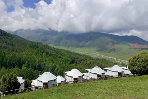
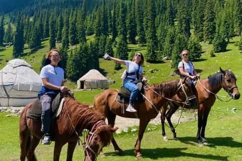
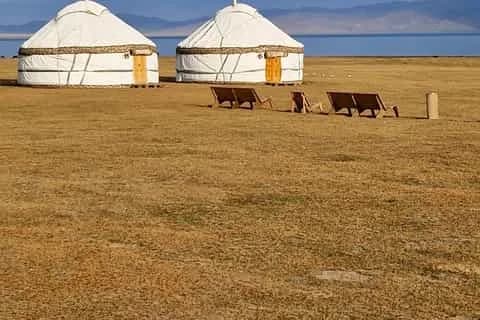
Different in character. Song-Köl is a shallow alpine lake at 3,016 m ringed by summer pastures (jailoo) and working yurt camps, reached on foot or horseback from Kyzart, Kochkor or the Naryn side. This is the trek for nomad life rather than high passes: kymyz in a shepherd's yurt, horses grazing to the water's edge, and cold, clear nights. Do it on horseback and it becomes a different trip again, covered in our horse trekking guide and the Song-Köl yurt stay guide.
Köl-Suu and the far south
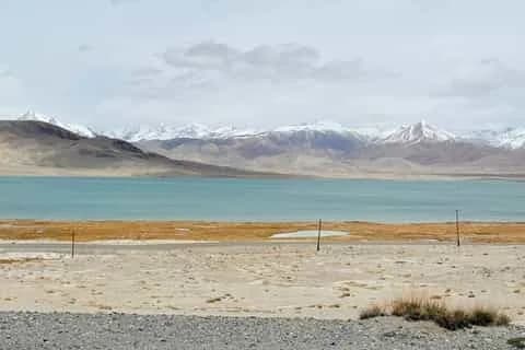
For remoteness, two options stand apart. Köl-Suu (Kel-Suu) is a fjord-like canyon lake at about 3,514 m near the Chinese border in the At-Bashy district of Naryn region; it needs a border-zone permit arranged in advance and a long drive, and it rewards the effort with scenery few travellers ever see. Further south, the Heights of Alay trek out of Sary-Mogol crosses passes above 4,000 metres with the Pamir wall and Lenin Peak in view, higher, drier and more demanding than anything in the Tian Shan. The walnut forests above Arslanbob offer gentler, lower walking (village around 1,400 m) if you want the south without the altitude.
When to go
Timing decides everything here. The reliable high-mountain window is mid-June to mid-September, when the passes are clear and the yurt camps are open. Outside it, half of any itinerary is shut.
| Period | What to expect |
|---|---|
| July-August | Warmest, driest, safest for high passes; busiest on Ala-Köl |
| Mid-June & September | Quieter and lovely, but lingering or early snow up high, colder nights |
| May & October | Shoulder: high routes snowbound, jailoo camps opening or closing |
| November-April | Winter: passes closed to walkers; ski touring from Jyrgalan and Karakol |
The Ala-Kul pass specifically is reliably snow-free only from about mid-July to mid-September, and fresh snow can fall on it in any month. Whatever the forecast, the daily rhythm across the Tian Shan is the same: clear dawn, cloud building from late morning, thunderstorms and graupel by mid-afternoon. Cross any high pass before roughly 11:00. For a fuller month-by-month picture, see the best time to visit Kyrgyzstan.
Altitude and AMS: the thing people underestimate
Kyrgyzstan puts ordinary tourists above 3,000 metres faster, and with less warning, than almost any other budget destination. Acute mountain sickness (AMS) is the commonest reason people abandon the Ala-Köl trek, and it does not care how fit you are.
The clinical rules are simple. AMS usually appears 6-10 hours after going above 2,500 m: a headache plus at least one of nausea, dizziness, fatigue or disturbed sleep. It normally settles in one to three days if you stop climbing. Above 3,000 m, raise your sleeping altitude by no more than 500 m a day. Never ascend further while symptomatic. Confusion, loss of coordination or breathlessness at rest are red flags for the dangerous forms (HACE and HAPE), and the treatment for all of them is the same: descend, now.
In practice, the fix is to build in acclimatisation. Spend two nights in Karakol (around 1,700 m) before starting Ala-Köl rather than crossing the pass the day after a Bishkek bus. Sleep a night in Kochkor or Naryn before Song-Köl or Köl-Suu. Acetazolamide (Diamox) helps some people if started a day or two ahead, but it is no substitute for a sensible ascent profile.
Guided or independent, and where CBT fits
Both work here; the route decides.
Independent is very doable on the well-trodden lines, Ala-Köl, Altyn-Arashan, the Jyrgalan loops, in peak season, when the trail is a clear boot path and you meet other walkers. You will want offline maps (Organic Maps or Maps.me, both OSM-based), a downloaded GPX track, and full self-sufficiency, because signage is thin to non-existent off the main routes and genuinely confusing in cloud on the Ala-Kul pass and the moraine above the lake.
Guided is the wiser call for remote or unmarked routes, river crossings, and the high or shoulder-season passes, and it is often cheap. The people to book through have changed. The old Community Based Tourism (CBT) network still exists but has faded; every local CBT office website is now dead, and the working front doors are the independent DMOs, Destination Karakol, Destination Jyrgalan and Visit Alay, plus the Kochkor-based Shepherd's Life. They arrange guides, horses, homestays, yurt stays and transfers, keep the money local, and mostly work by WhatsApp enquiry rather than an online cart. Booking a trek on the spot in Karakol or Kochkor in summer is normal and quick.
Border-zone permits and park fees
Ala-Köl and Altyn-Arashan need no trekking or border permit; you just pay the Karakol National Park gate fee. That is different from the frontier routes. Köl-Suu, the Inylchek and Khan Tengri area, and treks near the Chinese and Tajik borders need a border-zone permit, arranged through a Naryn or Bishkek agency about a month ahead (roughly US$20-25). Apply early; these are not same-day documents. There are no cash machines past Karakol or in the trailhead villages, so carry all your trek cash, in small som notes, from town.
What it costs
Kyrgyzstan is cheap by mountain-country standards, but prices have climbed sharply since 2023 and vary by which operator's yurts you land in. Treat everything below as a guide and confirm on the day (roughly 87 som = US$1).
| Item | Som | USD |
|---|---|---|
| Karakol Park entry (+ per tent) | 250 (+100/tent) | ~$3 |
| Yurt or fixed-tent bed, Sirota | 1,000-2,500 | ~$12-30 |
| Altyn-Arashan guesthouse, half board | ~2,100 | ~$26 |
| Song-Köl yurt camp incl. meals | ~1,300 | ~$15 |
| Trekking guide, per day | 2,000-2,500 | ~$25-30 |
| Pack horse / horse handler, per day | 1,300 / 2,000 | ~$15 / $23 |
| Guided horse trek, all-in, per day | ~8,700 | ~$100 |
| Shared 4x4 up to Altyn-Arashan, per person | 1,000-2,000 | ~$12-23 |
A self-supported three-day Ala-Köl comes in around US$50-80 all in; joining a guided group is roughly US$150-250; a private guided trek US$200-350. For the bigger budget picture see our cost and budget guide, and for getting to the trailheads, getting around Kyrgyzstan.
Gear checklist
Resupply thins out fast once you leave the towns, so buy food and fuel in Karakol, Bishkek, Naryn or Osh. There are no shops at Sirota, at the lake or in Altyn-Arashan beyond guesthouse meals.
- Broken-in waterproof boots with good tread. Worn soles are the single most common cause of falls on the Ala-Kul scree.
- Trekking poles. They matter more on that scree descent than anywhere else on the trek.
- A layered system with a genuine windproof, waterproof shell, warm mid-layers, hat and gloves, even in July.
- A three-season sleeping bag (comfort rating to at least -5C); lake camps drop below freezing in any month.
- Sun protection: category 3-4 sunglasses, a brimmed hat and high-factor cream. UV at 3,500 m with snow glare is fierce, and snow blindness is real.
- Water filter or purification. Every valley is grazed all summer; clear water below a jailoo is not safe. Giardia is the routine trekker's complaint.
- Offline maps and a downloaded GPX track, a headtorch, a first-aid kit, a power bank, and all your cash in small som notes.
- For multi-day or remote routes, a satellite messenger (inReach or Zoleo). There is no phone signal in the high valleys.
Safety, weather and rescue
The real risks in Kyrgyz mountains are environmental, not human; trekking areas are safe from a crime standpoint. Glacier-fed rivers are the most under-rated hazard, a stream that is ankle-deep at 08:00 can be thigh-deep by mid-afternoon on a hot day, so cross early and be ready to turn back. Weather changes fast, and avalanche, rockfall and landslide risk is real on the high passes.
Read this twice: there is no free, state-run helicopter rescue on the Alpine or Nepali model. The FCDO mountain-rescue line is +996 312 651 404, but the equipment is limited, and any helicopter lift is commercial, weather-dependent and expensive, and the main private rescue service requires a payment guarantee (insurance or a signed contract) before it will launch. The practical consequence: buy travel insurance that explicitly covers trekking to your maximum altitude (3,900 m for Ala-Köl, higher for Lenin Peak) plus helicopter evacuation and repatriation, because standard policies routinely cap altitude cover at 2,500-3,000 m and exclude almost every headline Kyrgyz trek. For the full country picture, see is Kyrgyzstan safe.
Our bottom line
If it is your first Kyrgyz trek, start with Ala-Köl and Altyn-Arashan from Karakol, lean on a local DMO for guides and horses, go between mid-June and mid-September, acclimatise before you climb, and pack for a sub-zero night whatever the forecast. Do that and the country will spoil you for mountains everywhere else. Ready to plan? Browse trekking tours across Kyrgyzstan and match a route to your dates and fitness.
Parla con una persona reale — gratis
Seif e il team rispondono su WhatsApp 24/7 — domande di viaggio, piani su misura e aiuto per la prenotazione.
Chiedi a Seif su WhatsAppDomande frequenti
How high is the Ala-Kul pass, and is it the highest point of the trek?
The Ala-Kul pass is roughly 3,860-3,900 metres and yes, it is the trek's high point, higher than the lake below it (about 3,530-3,560 m). Sources genuinely disagree on the exact figure, so plan for the upper end. You gain over 1,100 m on the pass day, most of it above 3,000 m, then face a long loose scree descent. Do not understate it: this is where most of Kyrgyzstan's altitude-sickness cases occur.
What is the best time of year to trek in Kyrgyzstan?
Mid-June to mid-September is the reliable high-mountain window, when passes are snow-free and yurt camps are open. July and August are warmest, driest and safest for high passes, but busiest on Ala-Kul. June and September are quieter and lovely with colder nights and possible snow up high. May and October are shoulder months when half of any high itinerary is shut. Winter is for ski touring, not walking.
Do I need a permit to trek in Kyrgyzstan?
Most treks need no permit at all. Ala-Kul and Altyn-Arashan require only the Karakol National Park gate fee (250 som plus 100 som per tent). Border-zone routes are different: Kol-Suu, Inylchek, Khan Tengri and treks near the Chinese and Tajik frontiers need a border permit, arranged through an agency about a month ahead for roughly US$20-25. Apply early, as these are not issued on the day.
Can I trek independently or do I need a guide?
Independent trekking is very doable on the popular, well-trodden lines, Ala-Kul, Altyn-Arashan and the marked Jyrgalan loops, in peak season, with offline maps and a downloaded GPX track. A guide is wiser for remote or unmarked routes, river crossings and shoulder-season passes, and it is often inexpensive. Book through local DMOs like Destination Karakol or Destination Jyrgalan rather than the largely defunct CBT offices, mostly by WhatsApp.
How much does trekking in Kyrgyzstan cost?
A self-supported three-day Ala-Kul trek costs roughly US$50-80 all in. Joining a guided group runs about US$150-250, and a private guided trek US$200-350. A guide is around 2,000-2,500 som a day, a pack horse about 1,300 som, and a Song-Kol yurt bed with meals around US$15. Carry all your cash in small som notes; there are no ATMs past Karakol or in the trailhead villages.
How dangerous is altitude sickness on these treks?
It is the commonest reason people abandon the Ala-Kul trek, and fitness offers no protection. AMS, a headache plus nausea, dizziness, fatigue or poor sleep, typically appears 6-10 hours above 2,500 m and settles if you stop climbing. Confusion, loss of coordination or breathlessness at rest are emergencies; descend immediately. Prevent it by acclimatising: two nights in Karakol before Ala-Kul, a night in Kochkor or Naryn before Song-Kol or Kol-Suu.
Which trek is best for a first-timer?
Altyn-Arashan is the gentlest introduction, a valley walk or short overnight to hot springs at about 2,400-2,600 m. Song-Kol suits anyone wanting nomad life and yurts over hard climbing, on foot or horseback at around 3,016 m. Ala-Kul is the classic but genuinely hard. If you are fit and acclimatised, combine Ala-Kul and Altyn-Arashan over three to four days from Karakol for the best single first trip.
Is trekking in Kyrgyzstan safe?
Yes from a crime standpoint; trekking areas are safe and the CBT homestay network makes solo travel easy. The real risks are environmental: glacier-fed river crossings that swell through the day, fast-changing weather, avalanche and rockfall, and altitude. There is no free state helicopter rescue, and any lift is commercial and needs a payment guarantee, so buy insurance covering your maximum altitude plus helicopter evacuation, and carry a satellite messenger on remote routes.
How do I get to the trailheads?
Most treks start from Karakol, reached by shared taxi or the GoBus coach from Bishkek (around US$6 shared). From Karakol, marshrutkas 101 and 350 reach the Ala-Kul and Altyn-Arashan trailhead ends for a few som, then a 4x4 covers the rough final track. Song-Kol treks start from Kochkor or Kyzart; the far-south Alay treks from Sary-Mogol, reached from Osh. Book jeep transfers through the local DMO.
Prenotala su This is Kyrgyzstan
Trasforma questa guida in un viaggio


I bestseller del Kirghizistan
Le esperienze più prenotate in tutto il paese
Continua a leggere
Jyrgalan Valley Trekking Guide (2026)
A former Soviet coal village 60 km east of Karakol, now Kyrgyzstan's quietest, best-marked community trekking and ski-touring hub. Routes, seasons, how to book.
Di TiK Editors8 min di lettura
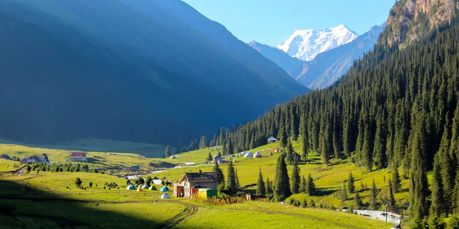
Altyn-Arashan: trekking alle sorgenti termali sopra Karakol (2026)
A piedi o in fuoristrada? Guida alla valle di Altyn-Arashan sopra Karakol — le sorgenti termali, le guesthouse, i costi, l'accesso in inverno e quanto fermarsi.
Di TiK Editors9 min di lettura
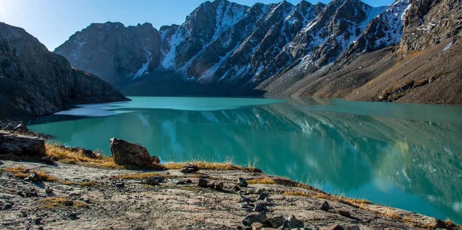
Trekking dell'Ala-Kul in Kirghizistan: la guida completa in 3 giorni
Quanto è davvero impegnativo il trekking dell'Ala-Kul, quanti giorni richiede, se serve una guida e quando il passo a 3.860–3.900 m è davvero libero dalla neve.
Di TiK Editors9 min di lettura